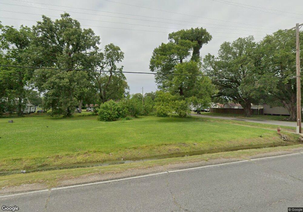
Estimated Value: $76,000 - $81,652
2
Beds
1
Bath
1,090
Sq Ft
$73/Sq Ft
Est. Value
About This Home
This home is located at 914 Yoakum St, Elton, LA 70532 and is currently estimated at $79,413, approximately $72 per square foot. 914 Yoakum St is a home located in Jefferson Davis Parish with nearby schools including Elton Elementary School, Elton High School, and Indian Bible Academy.
Ownership History
Date
Name
Owned For
Owner Type
Purchase Details
Closed on
Feb 9, 2022
Sold by
Lee Duplechin Gary and Lee Monica
Bought by
Laughlin Roger Dale
Current Estimated Value
Purchase Details
Closed on
Dec 18, 2013
Sold by
Miller Michael Brandon and Miller Sydney Elaine Laird
Bought by
Duplechin Gary Lee and Duplechin Monica
Purchase Details
Closed on
Apr 24, 2006
Sold by
Codeborah D Hibernia National Bank
Bought by
Miller Michael and Miller Sydney
Create a Home Valuation Report for This Property
The Home Valuation Report is an in-depth analysis detailing your home's value as well as a comparison with similar homes in the area
Home Values in the Area
Average Home Value in this Area
Purchase History
| Date | Buyer | Sale Price | Title Company |
|---|---|---|---|
| Laughlin Roger Dale | $15,000 | None Listed On Document | |
| Duplechin Gary Lee | $10,000 | None Available | |
| Miller Michael | $18,250 | None Available |
Source: Public Records
Tax History Compared to Growth
Tax History
| Year | Tax Paid | Tax Assessment Tax Assessment Total Assessment is a certain percentage of the fair market value that is determined by local assessors to be the total taxable value of land and additions on the property. | Land | Improvement |
|---|---|---|---|---|
| 2024 | $594 | $5,620 | $1,250 | $4,370 |
| 2023 | $539 | $5,050 | $1,250 | $3,800 |
| 2022 | $555 | $5,050 | $1,250 | $3,800 |
| 2021 | $558 | $5,050 | $1,250 | $3,800 |
| 2020 | $573 | $5,050 | $1,250 | $3,800 |
| 2019 | $476 | $4,800 | $1,300 | $3,500 |
| 2018 | $484 | $4,800 | $1,300 | $3,500 |
| 2017 | $483 | $4,800 | $1,300 | $3,500 |
| 2015 | $433 | $4,300 | $1,300 | $3,000 |
| 2014 | $435 | $4,300 | $1,300 | $3,000 |
| 2013 | $439 | $4,300 | $1,300 | $3,000 |
Source: Public Records
Map
Nearby Homes
- 1207 Yoakum St
- 210 Lafleur St
- 348 Raymond Church Rd
- Tbd Bel Oil Rd
- 0 Linton Thomas Rd Unit SWL25002520
- 600 Broadwing Ranch Rd
- 606 Broadwing Ranch Rd
- 0 Martin Rd
- 1075 Basile Eunice Hwy
- TBD Leonard Rd
- Tbd Bell Oil Rd
- 1405 Basile Eunice Hwy
- 1850 Gum St
- 2224 Basile Eunice Hwy
- 0 Bearcat Rd Unit SWL24006879
- Tbd Bearcat Rd
- 25405 Raymond Hwy
- 25390 Tietje Rd
- 2416 2nd St
- 2602 Basile Eunice Hwy
- 910 Yoakum St
- 913 Saint Joseph St
- 208 Langley Rd
- 917 Saint Joseph St
- 1014 Yoakum St
- 909 Saint Joseph St
- 1009 Saint Joseph St
- 906 Yoakum St
- 1012 Saint Joseph St
- 1004 Yoakum St
- 1003 Saint Joseph St
- 918 Saint Joseph St
- 313 Buller St
- 912 Saint Joseph
- 1008 Yoakum St
- 908 Saint Joseph St
- 850 Yoakum St
- 902 Main St
- 815 Saint Joseph St
- 1101 Saint Joseph St
