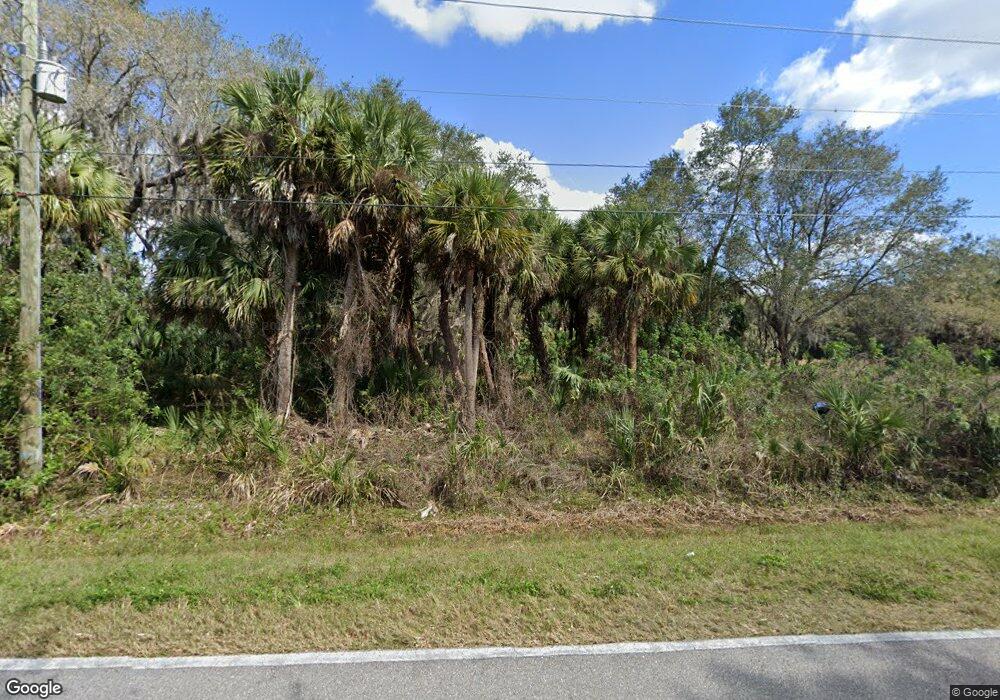
9140 Burnt Store Rd Punta Gorda, FL 33950
South Punta Gorda NeighborhoodEstimated Value: $350,000 - $593,000
3
Beds
3
Baths
1,258
Sq Ft
$382/Sq Ft
Est. Value
About This Home
This home is located at 9140 Burnt Store Rd, Punta Gorda, FL 33950 and is currently estimated at $480,560, approximately $382 per square foot. 9140 Burnt Store Rd is a home located in Charlotte County with nearby schools including East Elementary School, Punta Gorda Middle School, and Charlotte High School.
Ownership History
Date
Name
Owned For
Owner Type
Purchase Details
Closed on
Jul 2, 2025
Sold by
Haymans Michael P and Haymans Branch L
Bought by
Haymans Branch L and Haymans Richard L
Current Estimated Value
Purchase Details
Closed on
Jan 9, 2006
Sold by
Haymans Deborah Lynn
Bought by
Haymans Michael P
Home Financials for this Owner
Home Financials are based on the most recent Mortgage that was taken out on this home.
Original Mortgage
$96,688
Interest Rate
6.14%
Mortgage Type
Seller Take Back
Create a Home Valuation Report for This Property
The Home Valuation Report is an in-depth analysis detailing your home's value as well as a comparison with similar homes in the area
Home Values in the Area
Average Home Value in this Area
Purchase History
| Date | Buyer | Sale Price | Title Company |
|---|---|---|---|
| Haymans Branch L | $100 | None Listed On Document | |
| Haymans Michael P | $100,000 | None Available |
Source: Public Records
Mortgage History
| Date | Status | Borrower | Loan Amount |
|---|---|---|---|
| Previous Owner | Haymans Michael P | $96,688 |
Source: Public Records
Tax History Compared to Growth
Tax History
| Year | Tax Paid | Tax Assessment Tax Assessment Total Assessment is a certain percentage of the fair market value that is determined by local assessors to be the total taxable value of land and additions on the property. | Land | Improvement |
|---|---|---|---|---|
| 2024 | $2,622 | $155,621 | -- | -- |
| 2023 | $2,622 | $151,088 | $0 | $0 |
| 2022 | $2,498 | $146,687 | $0 | $0 |
| 2021 | $2,487 | $142,415 | $0 | $0 |
| 2020 | $2,418 | $140,449 | $0 | $0 |
| 2019 | $2,319 | $137,291 | $0 | $0 |
| 2018 | $2,134 | $134,731 | $0 | $0 |
| 2017 | $2,106 | $131,960 | $0 | $0 |
| 2016 | $2,086 | $129,246 | $0 | $0 |
| 2015 | $2,078 | $128,348 | $0 | $0 |
| 2014 | $2,034 | $127,329 | $0 | $0 |
Source: Public Records
Map
Nearby Homes
- CARRINGTON Plan at Sea Cove
- 26022 Glasgow Ave
- 9374 Sunbeam Cir
- 9398 Sunbeam Cir
- 3211 Taylor Rd
- 9459 Sunbeam Cir
- 9467 Sunbeam Cir
- 9531 Sunbeam Cir
- CALI Plan at Seagrass
- ARIA Plan at Seagrass
- LAKESIDE Plan at Seagrass
- 3560 Taylor Rd Unit C105
- 8840 Burnt Store Rd
- 9602 Turtle Grass Cir
- 3832 Albacete Cir
- 3748 Albacete Cir Unit 38
- 174 Madrid Blvd
- 3762 Tripoli Blvd Unit 21
- 3743 Albacete Cir Unit 84
- 180 Madrid Blvd
- 9160 Burnt Store Rd
- 9070 Burnt Store Rd
- 9050 Burnt Store Rd
- 9030 Burnt Store Rd
- 9011 Burnt Store Rd
- 9262 Burnt Store Rd
- 9000 Burnt Store Rd
- 26120 Jones Loop Rd
- 9272 Burnt Store Rd
- 9282 Burnt Store Rd
- 9292 Burnt Store Rd
- 4017 Taylor Rd Unit B3&6
- 4017 Taylor Rd Unit B2&3
- 4017 Taylor Rd Unit B1
- 4017 Taylor Rd Unit A1
- 8980 Burnt Store Rd
- 9298 Burnt Store Rd
- 3921 Taylor Rd Unit A1
- 3921 Taylor Rd Unit A8
- 3921 Taylor Rd Unit A-10
