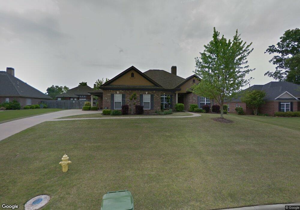
9141 Houndsbay Dr Montgomery, AL 36117
East Montgomery NeighborhoodEstimated Value: $371,000 - $408,000
4
Beds
2
Baths
2,536
Sq Ft
$153/Sq Ft
Est. Value
About This Home
This home is located at 9141 Houndsbay Dr, Montgomery, AL 36117 and is currently estimated at $388,743, approximately $153 per square foot. 9141 Houndsbay Dr is a home with nearby schools including Blount Elementary School, Johnnie R. Carr Middle School, and Park Crossing High School.
Ownership History
Date
Name
Owned For
Owner Type
Purchase Details
Closed on
Mar 1, 2006
Sold by
Aronov Homes Inc
Bought by
Wilcher Derrick K and Wilcher Judith D
Current Estimated Value
Home Financials for this Owner
Home Financials are based on the most recent Mortgage that was taken out on this home.
Original Mortgage
$357,237
Outstanding Balance
$200,991
Interest Rate
6.19%
Mortgage Type
VA
Estimated Equity
$187,752
Purchase Details
Closed on
Dec 31, 2004
Sold by
Vaughn Road Llc
Bought by
Aronov Homes Inc
Create a Home Valuation Report for This Property
The Home Valuation Report is an in-depth analysis detailing your home's value as well as a comparison with similar homes in the area
Home Values in the Area
Average Home Value in this Area
Purchase History
| Date | Buyer | Sale Price | Title Company |
|---|---|---|---|
| Wilcher Derrick K | -- | None Available | |
| Aronov Homes Inc | -- | -- |
Source: Public Records
Mortgage History
| Date | Status | Borrower | Loan Amount |
|---|---|---|---|
| Open | Wilcher Derrick K | $357,237 |
Source: Public Records
Tax History Compared to Growth
Tax History
| Year | Tax Paid | Tax Assessment Tax Assessment Total Assessment is a certain percentage of the fair market value that is determined by local assessors to be the total taxable value of land and additions on the property. | Land | Improvement |
|---|---|---|---|---|
| 2025 | $1,671 | $35,090 | $5,000 | $30,090 |
| 2024 | $1,880 | $39,390 | $5,000 | $34,390 |
| 2023 | $1,880 | $38,700 | $5,000 | $33,700 |
| 2022 | $1,183 | $33,540 | $5,000 | $28,540 |
| 2021 | $1,082 | $30,780 | $0 | $0 |
| 2020 | $1,076 | $30,600 | $5,000 | $25,600 |
| 2019 | $1,062 | $30,220 | $5,000 | $25,220 |
| 2018 | $1,099 | $30,120 | $5,000 | $25,120 |
| 2017 | $1,056 | $60,100 | $10,000 | $50,100 |
| 2014 | $1,059 | $30,140 | $5,000 | $25,140 |
| 2013 | -- | $29,510 | $5,500 | $24,010 |
Source: Public Records
Map
Nearby Homes
- Redwood Plan at Deer Creek - Marston
- Sullivan Plan at Deer Creek - Marston
- Cimarron Plan at Deer Creek - Marston
- Sweetwater Plan at Deer Creek - Marston
- Acadia Plan at Deer Creek - Marston
- Bankhead Plan at Deer Creek - Marston
- Cherry Bark Plan at Deer Creek - Marston
- Superior Plan at Deer Creek - Marston
- 9012 Hanston Ct
- 8913 Marston Way
- 8920 Alderwood Way
- 8907 Dallinger Ct
- 0 Marston Way
- 8661 Asheworth Dr
- 9185 Brenham
- 9031 Marston Way
- 9101 Marston Way
- 9107 Marston Way
- 9232 Autumnbrooke Way
- 9001 Finsbury Ct
- 9149 Houndsbay Dr
- 9133 Houndsbay Dr
- 9213 Stillforest Ct
- 9205 Stillforest Ct
- 9157 Houndsbay Dr
- 9124 Houndsbay Dr
- 9148 Houndsbay Dr
- 9201 Stillforest Ct
- 9117 Houndsbay Dr
- 9165 Houndsbay Dr
- 9219 Stillforest Ct
- 9109 Houndsbay Dr
- 9156 Houndsbay Dr
- 9216 Stillforest Ct
- 9200 Stillforest Ct
- 9212 Stillforest Ct
- 8836 Dunlake Dr
- 9173 Houndsbay Dr
- 9164 Houndsbay Dr