9142 Orion Dr Unit 4 Brighton, MI 48114
Estimated Value: $844,000 - $1,206,701
5
Beds
5
Baths
4,047
Sq Ft
$265/Sq Ft
Est. Value
About This Home
This home is located at 9142 Orion Dr Unit 4, Brighton, MI 48114 and is currently estimated at $1,073,900, approximately $265 per square foot. 9142 Orion Dr Unit 4 is a home located in Livingston County with nearby schools including Hilton Road Elementary School, Scranton Middle School, and Brighton High School.
Ownership History
Date
Name
Owned For
Owner Type
Purchase Details
Closed on
May 22, 2012
Sold by
Mountaineer Investments Llc
Bought by
Parsons Brian K and Parsons Mary Jo
Current Estimated Value
Purchase Details
Closed on
Oct 17, 2011
Sold by
Parsons Brian K and Parsons Mary Jo
Bought by
Brian K Parsons Trust and Parsons
Purchase Details
Closed on
Feb 14, 2003
Sold by
Mullaly Brian A and Mullaly Dawn M
Bought by
Parsons Brian K and Parsons Mary Jo
Purchase Details
Closed on
Nov 10, 2002
Sold by
Conception Bay Development Llc
Bought by
Mullaly Brian A and Mullaly Dawn M
Create a Home Valuation Report for This Property
The Home Valuation Report is an in-depth analysis detailing your home's value as well as a comparison with similar homes in the area
Home Values in the Area
Average Home Value in this Area
Purchase History
| Date | Buyer | Sale Price | Title Company |
|---|---|---|---|
| Parsons Brian K | $17,000 | -- | |
| Brian K Parsons Trust | -- | None Listed On Document | |
| Parsons Brian K | $291,000 | -- | |
| Mullaly Brian A | -- | -- |
Source: Public Records
Tax History
| Year | Tax Paid | Tax Assessment Tax Assessment Total Assessment is a certain percentage of the fair market value that is determined by local assessors to be the total taxable value of land and additions on the property. | Land | Improvement |
|---|---|---|---|---|
| 2025 | $6,535 | $593,600 | $0 | $0 |
| 2024 | $6,352 | $574,700 | $0 | $0 |
| 2023 | $6,071 | $531,600 | $0 | $0 |
| 2022 | $10,674 | $437,700 | $0 | $0 |
| 2021 | $10,674 | $476,400 | $0 | $0 |
| 2020 | $10,631 | $462,000 | $0 | $0 |
| 2019 | $10,890 | $437,700 | $0 | $0 |
| 2018 | $10,353 | $437,000 | $0 | $0 |
| 2017 | $10,215 | $437,000 | $0 | $0 |
| 2016 | $10,188 | $428,800 | $0 | $0 |
| 2014 | $8,983 | $378,090 | $0 | $0 |
| 2012 | $8,983 | $363,170 | $0 | $0 |
Source: Public Records
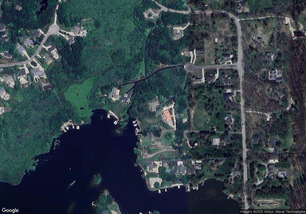
Map
Nearby Homes
- 8984 S Christine Dr
- 3313 Oak Knoll Dr
- 8461 Woodland Shore Dr
- 0 Oak Knoll Dr
- 3616 Bay Harbor Dr
- 2321 Pine Hollow Trail
- 3647 Chatham Place Unit 50
- 3655 Chatham Place Unit 51
- 3660 Chatham Place Unit 14
- 3650 Chatham Place Unit 15
- 3900 Chatham Place Unit 97
- 3918 Chatham Place Unit 96
- 3736 Chatham Place Unit 6
- 3736 Chatham Place
- 3911 Chatham Place Unit 104
- 3888 Chatham Place Unit 99
- 8783 Skylane Dr
- Northpointe Northpointe Ridge
- 8252 Woodland Shore Dr
- 2218 Pine Hollow Trail
- 9150 Orion Dr
- 9138 Orion Dr
- 9016 Hunter Grove
- 9022 Hunter Grove
- 9139 Orion Dr Unit 6
- 9028 Hunter Grove
- Parcel C Hunter
- 9166 Orion Dr Unit 2
- UNIT 8 Orion
- 9055 Hunter Grove Unit Bldg-Unit
- 9055 Hunter Grove
- UNIT 7 Orion
- UNIT 9 Orion
- 9032 Hunter Bay Dr
- 9192 Orion Dr
- 9046 Hunter Bay Dr
- 9050 Hunter Bay Dr
- 9056 Hunter Bay Dr
- 3120 Hunter Rd
- 9038 Hunter Bay Dr
Your Personal Tour Guide
Ask me questions while you tour the home.