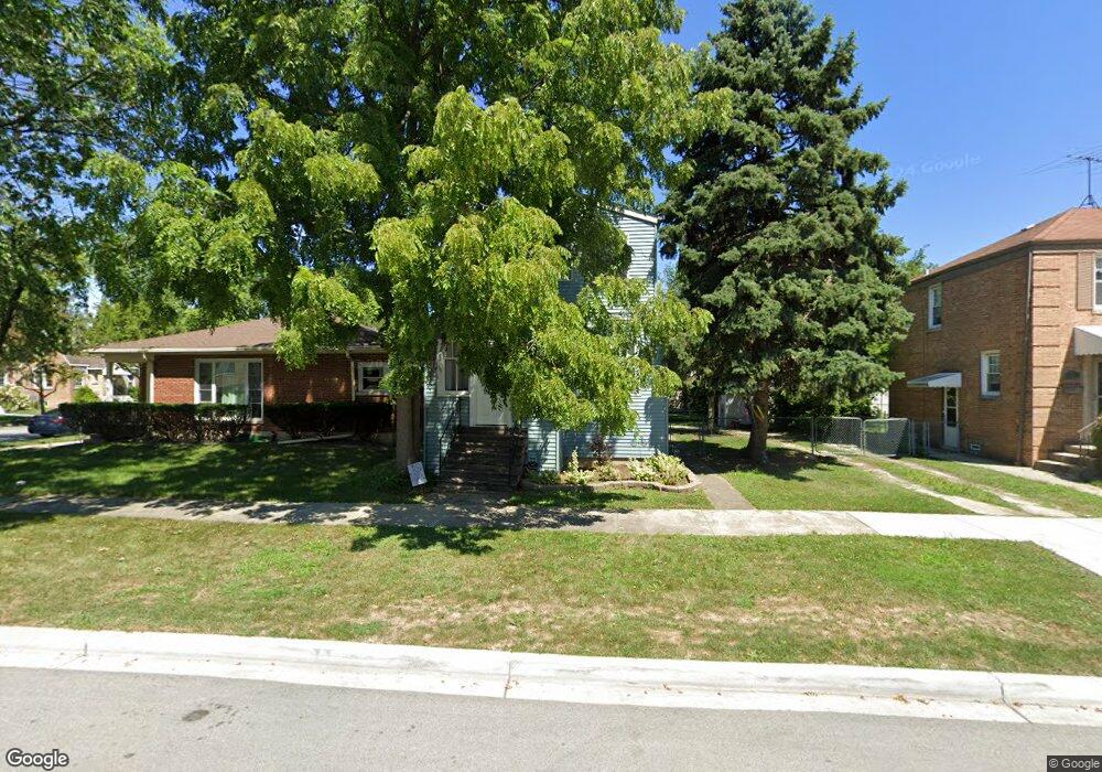
9142 Sheridan Ave Brookfield, IL 60513
Estimated Value: $282,000 - $407,000
2
Beds
1
Bath
600
Sq Ft
$564/Sq Ft
Est. Value
About This Home
This home is located at 9142 Sheridan Ave, Brookfield, IL 60513 and is currently estimated at $338,605, approximately $564 per square foot. 9142 Sheridan Ave is a home located in Cook County with nearby schools including S. E. Gross Middle School, Brook Park Elementary School, and Riverside Brookfield High School.
Ownership History
Date
Name
Owned For
Owner Type
Purchase Details
Closed on
Oct 19, 1998
Sold by
Ferry Dawn M
Bought by
Mack Michael D
Current Estimated Value
Home Financials for this Owner
Home Financials are based on the most recent Mortgage that was taken out on this home.
Original Mortgage
$92,000
Outstanding Balance
$18,370
Interest Rate
6.72%
Estimated Equity
$320,235
Create a Home Valuation Report for This Property
The Home Valuation Report is an in-depth analysis detailing your home's value as well as a comparison with similar homes in the area
Home Values in the Area
Average Home Value in this Area
Purchase History
| Date | Buyer | Sale Price | Title Company |
|---|---|---|---|
| Mack Michael D | $115,000 | -- |
Source: Public Records
Mortgage History
| Date | Status | Borrower | Loan Amount |
|---|---|---|---|
| Open | Mack Michael D | $92,000 |
Source: Public Records
Tax History
| Year | Tax Paid | Tax Assessment Tax Assessment Total Assessment is a certain percentage of the fair market value that is determined by local assessors to be the total taxable value of land and additions on the property. | Land | Improvement |
|---|---|---|---|---|
| 2025 | $8,814 | $28,000 | $2,344 | $25,656 |
| 2024 | $8,814 | $28,000 | $2,344 | $25,656 |
| 2023 | $7,157 | $28,000 | $2,344 | $25,656 |
| 2022 | $7,157 | $20,596 | $2,031 | $18,565 |
| 2021 | $6,979 | $20,596 | $2,031 | $18,565 |
| 2020 | $6,888 | $20,596 | $2,031 | $18,565 |
| 2019 | $5,225 | $16,679 | $1,796 | $14,883 |
| 2018 | $5,015 | $16,679 | $1,796 | $14,883 |
| 2017 | $4,644 | $16,679 | $1,796 | $14,883 |
| 2016 | $4,095 | $13,499 | $1,640 | $11,859 |
| 2015 | $3,891 | $13,499 | $1,640 | $11,859 |
| 2014 | $3,854 | $13,499 | $1,640 | $11,859 |
| 2013 | $4,388 | $15,952 | $1,640 | $14,312 |
Source: Public Records
Map
Nearby Homes
- 3730 Madison Ave
- 9031 Fairview Ave
- 9011 Sheridan Ave
- 9016 Southview Ave
- 3545 Oak Ave
- 3837 Morton Ave
- 3533 Morton Ave
- 3417 Oak Ave
- 4023 Oak Ave
- 4021 Deyo Ave
- 4032 Prairie Ave
- 3321 Harrison Ave
- 3901 Custer Ave
- 9512 Jefferson Ave
- 3229 Maple Ave
- 1018 E Oak Ave
- 3227 Harrison Ave
- 3201 Park Ave
- 4239 Park Ave
- 30 Washington Ave
- 9146 Sheridan Ave
- 9138 Sheridan Ave
- 9136 Sheridan Ave
- 9132 Sheridan Ave
- 9143 Grant Ave
- 9139 Grant Ave
- 9145 Sheridan Ave
- 9135 Grant Ave
- 3712 Maple Ave
- 9143 Sheridan Ave
- 3710 Maple Ave
- 9130 Sheridan Ave
- 9130 Sheridan Ave
- 9137 Sheridan Ave
- 9147 Sheridan Ave
- 3708 Maple Ave
- 3720 Maple Ave
- 9131 Grant Ave
- 9131 Grant Ave
- 3706 Maple Ave
Your Personal Tour Guide
Ask me questions while you tour the home.