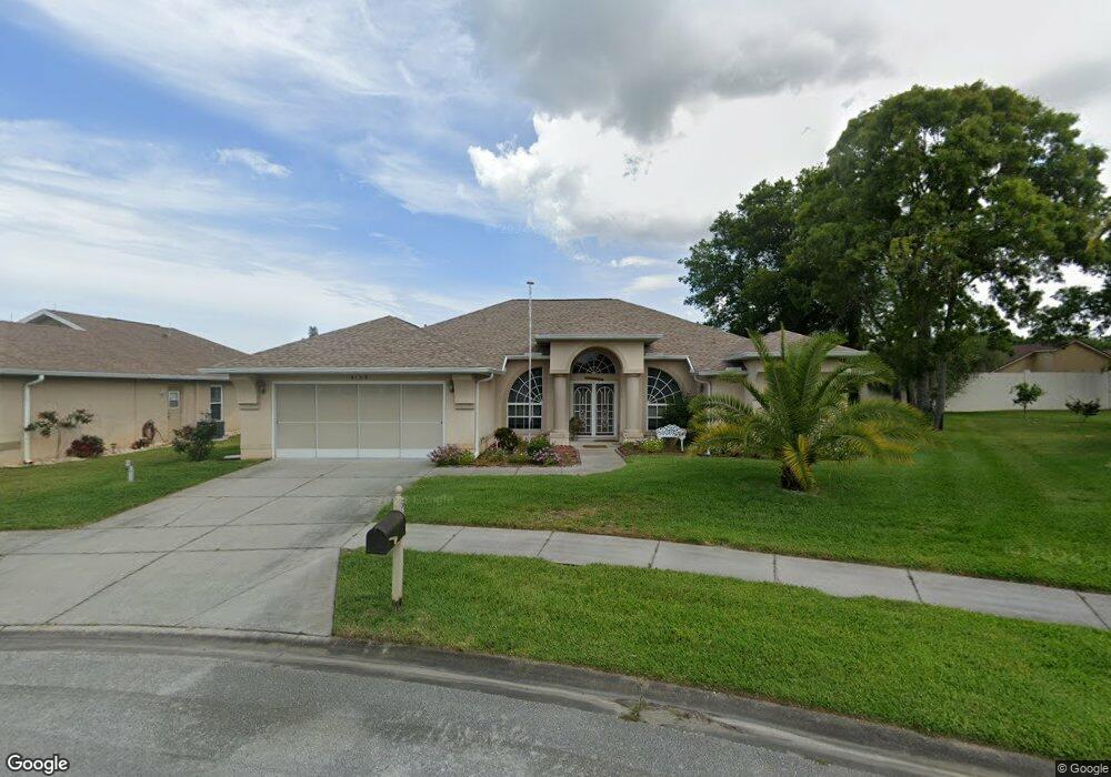
9143 Robin Nest Dr Hudson, FL 34669
Estimated Value: $320,000 - $399,018
--
Bed
2
Baths
1,900
Sq Ft
$193/Sq Ft
Est. Value
About This Home
This home is located at 9143 Robin Nest Dr, Hudson, FL 34669 and is currently estimated at $366,005, approximately $192 per square foot. 9143 Robin Nest Dr is a home located in Pasco County with nearby schools including West Pasco Education Academy, Hudson Middle School, and Fivay High School.
Ownership History
Date
Name
Owned For
Owner Type
Purchase Details
Closed on
May 31, 2007
Sold by
Cavonis Joan
Bought by
Allen Samuel M and Allen Janice A
Current Estimated Value
Home Financials for this Owner
Home Financials are based on the most recent Mortgage that was taken out on this home.
Original Mortgage
$185,000
Outstanding Balance
$112,222
Interest Rate
6.12%
Mortgage Type
Unknown
Estimated Equity
$253,783
Create a Home Valuation Report for This Property
The Home Valuation Report is an in-depth analysis detailing your home's value as well as a comparison with similar homes in the area
Home Values in the Area
Average Home Value in this Area
Purchase History
| Date | Buyer | Sale Price | Title Company |
|---|---|---|---|
| Allen Samuel M | $235,000 | Pasco Title Llc |
Source: Public Records
Mortgage History
| Date | Status | Borrower | Loan Amount |
|---|---|---|---|
| Open | Allen Samuel M | $185,000 |
Source: Public Records
Tax History Compared to Growth
Tax History
| Year | Tax Paid | Tax Assessment Tax Assessment Total Assessment is a certain percentage of the fair market value that is determined by local assessors to be the total taxable value of land and additions on the property. | Land | Improvement |
|---|---|---|---|---|
| 2025 | $1,724 | $139,400 | -- | -- |
| 2024 | $1,724 | $135,480 | -- | -- |
| 2023 | $1,648 | $131,540 | $0 | $0 |
| 2022 | $1,545 | $127,710 | $0 | $0 |
| 2021 | $1,506 | $123,990 | $31,901 | $92,089 |
| 2020 | $1,475 | $122,280 | $19,660 | $102,620 |
| 2019 | $1,441 | $119,540 | $0 | $0 |
| 2018 | $1,407 | $117,312 | $0 | $0 |
| 2017 | $1,395 | $117,312 | $0 | $0 |
| 2016 | $1,336 | $112,536 | $0 | $0 |
| 2015 | $1,353 | $111,754 | $0 | $0 |
| 2014 | $1,306 | $117,706 | $15,835 | $101,871 |
Source: Public Records
Map
Nearby Homes
- 9105 Robin Nest Dr
- 9135 Halberg Dr
- 9311 Haas Dr
- 9315 Haas Dr
- 13825 Leroux Dr
- 13802 Stoneridge Dr
- 12125 Little Rd
- 9328 Fred St
- 8827 Helmsly Ln
- 13603 Glaze Brook Dr
- 14033 Pimberton Dr
- 13627 Glaze Brook Dr
- 9104 Water Hazard Dr
- 9301 Tournament Dr
- 8716 Helmsly Ln
- 13736 Waggle Ct
- 9607 Bud St
- 8635 Braxton Dr
- 8657 Helmsly Ln
- 13316 Brigham Ln
- 9135 Robin Nest Dr
- 9147 Robin Nest Dr
- 9138 Halberg Dr
- 9132 Halberg Dr
- 9144 Halberg Dr
- 9128 Halberg Dr
- 9150 Halberg Dr
- 9129 Robin Nest Dr
- 9122 9122 Halberg Dr
- 9146 Robin Nest Dr
- 9122 Halberg Dr
- 9203 Robin Nest Dr
- 13701 Leroux Dr
- 13628 Lightning Rod Ct
- 9121 Robin Nest Dr
- 9212 Robin Nest Dr
- 9211 Robin Nest Dr
- 9206 Halberg Dr
- 9141 Halberg Dr
- 13705 Leroux Dr Unit 2