9144 Tesoras Dr Unit 401 Las Vegas, NV 89144
Summerlin NeighborhoodEstimated Value: $1,058,000 - $1,308,000
3
Beds
3
Baths
2,497
Sq Ft
$475/Sq Ft
Est. Value
About This Home
This home is located at 9144 Tesoras Dr Unit 401, Las Vegas, NV 89144 and is currently estimated at $1,185,951, approximately $474 per square foot. 9144 Tesoras Dr Unit 401 is a home located in Clark County with nearby schools including John W. Bonner Elementary School, Sig Rogich Middle School, and Palo Verde High School.
Ownership History
Date
Name
Owned For
Owner Type
Purchase Details
Closed on
May 7, 2024
Sold by
M Rostvold Primary Residence Trust and Rogrvold Mcclain M
Bought by
Rostvold Family Revocable Trust and Rostvold
Current Estimated Value
Purchase Details
Closed on
Jul 20, 2017
Sold by
Las Vegas Residential Opportunity Fund I
Bought by
Toll South Lv Llc
Purchase Details
Closed on
Dec 19, 2012
Sold by
Rostwold Mark C and Rostwold Evelyn French
Bought by
Rostvold Mark C and M Rostvold Primary Residence Trust
Purchase Details
Closed on
Mar 17, 2010
Sold by
Cory Timothy S
Bought by
Rostvold Mark C and Rostvold Evelyn French
Create a Home Valuation Report for This Property
The Home Valuation Report is an in-depth analysis detailing your home's value as well as a comparison with similar homes in the area
Home Values in the Area
Average Home Value in this Area
Purchase History
| Date | Buyer | Sale Price | Title Company |
|---|---|---|---|
| Rostvold Family Revocable Trust | -- | None Listed On Document | |
| Toll South Lv Llc | $1,030,000 | Nevada Title Las Vegas | |
| Rostvold Mark C | -- | None Available | |
| Rostvold Mark C | $640,000 | Nevada Title Las Vegas |
Source: Public Records
Tax History Compared to Growth
Tax History
| Year | Tax Paid | Tax Assessment Tax Assessment Total Assessment is a certain percentage of the fair market value that is determined by local assessors to be the total taxable value of land and additions on the property. | Land | Improvement |
|---|---|---|---|---|
| 2025 | $5,896 | $390,114 | $184,800 | $205,314 |
| 2024 | $5,725 | $390,114 | $184,800 | $205,314 |
| 2023 | $5,725 | $398,123 | $214,200 | $183,923 |
| 2022 | $5,559 | $348,429 | $178,500 | $169,929 |
| 2021 | $5,397 | $342,442 | $178,500 | $163,942 |
| 2020 | $5,227 | $306,611 | $172,550 | $134,061 |
| 2019 | $5,075 | $274,572 | $142,800 | $131,772 |
| 2018 | $4,927 | $248,692 | $119,000 | $129,692 |
| 2017 | $7,031 | $214,281 | $89,600 | $124,681 |
| 2016 | $4,664 | $193,789 | $65,625 | $128,164 |
| 2015 | $4,656 | $183,707 | $65,625 | $118,082 |
| 2014 | $4,534 | $173,426 | $43,750 | $129,676 |
Source: Public Records
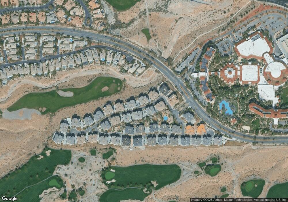
Map
Nearby Homes
- 9201 Tesoras Dr Unit 401
- 132 Los Cabos Dr Unit 302
- 9205 Tesoras Dr Unit 401
- 128 Los Cabos Dr Unit 302
- 128 Los Cabos Dr
- 9207 Tesoras Dr Unit 302
- 9213 Las Manaitas Ave Unit 401
- 9132 Las Manaitas Ave Unit 201
- 9132 Las Manaitas Ave Unit 402
- 9132 Las Manaitas Ave
- 9133 Las Manaitas Ave Unit 401
- 9220 Tesoras Dr Unit 202
- 9219 Tesoras Dr Unit 402
- 9125 Las Manaitas Ave Unit 302
- 9312 Canyon Classic Dr
- 9325 Canyon Classic Dr
- 9017 Grove Crest Ln
- 9112 Vista Greens Way Unit 106
- 9116 Vista Greens Way Unit 104
- 323 Hollins Hall St
- 9144 Tesoras Dr Unit 402
- 9144 Tesoras Dr Unit 301
- 9144 Tesoras Dr Unit 302
- 9144 Tesoras Dr Unit 201
- 9144 Tesoras Dr Unit 202
- 9140 Tesoras Dr Unit 201
- 9140 Tesoras Dr Unit 401
- 9140 Tesoras Dr Unit 301
- 9140 Tesoras Dr Unit 302
- 9140 Tesoras Dr Unit 202
- 9145 Tesoras Dr Unit 401
- 9145 Tesoras Dr Unit 301
- 9145 Tesoras Dr Unit 302
- 9145 Tesoras Dr Unit 201
- 9145 Tesoras Dr Unit 202
- 132 Los Cabos Dr Ut 202
- 9205 Las Manaitas Ave Unit 302
- 9132 Las Manaitas Ave Ut 202
- 9132 Las Manaitas Ave 402