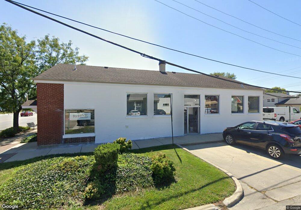
9144 Waukegan Rd Morton Grove, IL 60053
Estimated Value: $309,467
--
Bed
--
Bath
2,160
Sq Ft
$143/Sq Ft
Est. Value
About This Home
This home is located at 9144 Waukegan Rd, Morton Grove, IL 60053 and is currently estimated at $309,467, approximately $143 per square foot. 9144 Waukegan Rd is a home located in Cook County with nearby schools including Hynes Elementary School, Golf Middle School, and Niles North High School.
Ownership History
Date
Name
Owned For
Owner Type
Purchase Details
Closed on
Aug 24, 2021
Sold by
Rieb William C and Rieb Renee C
Bought by
9144 Waukegan Llc
Current Estimated Value
Home Financials for this Owner
Home Financials are based on the most recent Mortgage that was taken out on this home.
Original Mortgage
$187,500
Outstanding Balance
$38,150
Interest Rate
5.25%
Mortgage Type
Commercial
Estimated Equity
$271,317
Purchase Details
Closed on
Jun 17, 2009
Sold by
Rieb William D
Bought by
Rieb William C and Rieb Renee C
Create a Home Valuation Report for This Property
The Home Valuation Report is an in-depth analysis detailing your home's value as well as a comparison with similar homes in the area
Home Values in the Area
Average Home Value in this Area
Purchase History
| Date | Buyer | Sale Price | Title Company |
|---|---|---|---|
| 9144 Waukegan Llc | $250,000 | Attorney | |
| Rieb William C | -- | None Available |
Source: Public Records
Mortgage History
| Date | Status | Borrower | Loan Amount |
|---|---|---|---|
| Open | 9144 Waukegan Llc | $187,500 |
Source: Public Records
Tax History Compared to Growth
Tax History
| Year | Tax Paid | Tax Assessment Tax Assessment Total Assessment is a certain percentage of the fair market value that is determined by local assessors to be the total taxable value of land and additions on the property. | Land | Improvement |
|---|---|---|---|---|
| 2024 | $18,021 | $98,593 | $15,782 | $82,811 |
| 2023 | $16,243 | $66,251 | $15,782 | $50,469 |
| 2022 | $16,243 | $62,502 | $15,782 | $46,720 |
| 2021 | $18,508 | $62,500 | $15,781 | $46,719 |
| 2020 | $28,985 | $99,669 | $15,781 | $83,888 |
| 2019 | $13,524 | $51,769 | $15,781 | $35,988 |
| 2018 | $11,972 | $41,162 | $12,399 | $28,763 |
| 2017 | $12,017 | $41,162 | $12,399 | $28,763 |
| 2016 | $11,643 | $42,168 | $12,399 | $29,769 |
| 2015 | $9,113 | $30,101 | $11,836 | $18,265 |
| 2014 | $16,156 | $54,413 | $11,836 | $42,577 |
| 2013 | $15,879 | $54,413 | $11,836 | $42,577 |
Source: Public Records
Map
Nearby Homes
- 7014 Church St
- 6909 Beckwith Rd
- 6727 Beckwith Rd
- 9244 Newcastle Ave
- 6712 Maple St
- 8927 Belleforte Ave
- 9421 Sayre Ave
- 6638 Hazel St
- 7215 Beckwith Rd
- 7207 Church St
- 8929 Cherry Ave
- 7030 Foster St
- 7215 Lyons St
- 7302 Ponto Dr
- 7303 Ponto Dr
- 9400 Octavia Ave
- 6619 Palma Ln
- 7343 Lake St
- 9247 Natchez Ave
- 8661 N National Ave
- 9138 Waukegan Rd
- 9136 Waukegan Rd
- 9136 Waukegan Rd Unit B
- 9202 Waukegan Rd Unit 9002
- 9202 Waukegan Rd
- 6939 Church St
- 6939 Church St
- 6947 Church St
- 6947 Church St
- 6944 Church St
- 6944 Church St
- 9133 Sayre Ave
- 9201 Waukegan Rd
- 6951 Church St
- 6951 Church St
- 9129 Sayre Ave
- 9212 Waukegan Rd
- 6948 Church St
- 6948 Church St
- 9121 Sayre Ave