9145 Smith Rd Monmouth, OR 97361
Estimated Value: $995,000 - $2,012,010
5
Beds
1
Bath
2,216
Sq Ft
$643/Sq Ft
Est. Value
About This Home
This home is located at 9145 Smith Rd, Monmouth, OR 97361 and is currently estimated at $1,425,003, approximately $643 per square foot. 9145 Smith Rd is a home located in Polk County with nearby schools including Oakdale Heights Elementary School, Whitworth Elementary School, and LaCreole Middle School.
Ownership History
Date
Name
Owned For
Owner Type
Purchase Details
Closed on
Apr 4, 2014
Sold by
Gardner James W
Bought by
Luckiamute Valley Farms Llc
Current Estimated Value
Home Financials for this Owner
Home Financials are based on the most recent Mortgage that was taken out on this home.
Original Mortgage
$650,000
Outstanding Balance
$347,655
Interest Rate
4.3%
Mortgage Type
Purchase Money Mortgage
Estimated Equity
$1,077,348
Create a Home Valuation Report for This Property
The Home Valuation Report is an in-depth analysis detailing your home's value as well as a comparison with similar homes in the area
Home Values in the Area
Average Home Value in this Area
Purchase History
| Date | Buyer | Sale Price | Title Company |
|---|---|---|---|
| Luckiamute Valley Farms Llc | $1,400,000 | Amerititle |
Source: Public Records
Mortgage History
| Date | Status | Borrower | Loan Amount |
|---|---|---|---|
| Open | Luckiamute Valley Farms Llc | $650,000 |
Source: Public Records
Tax History Compared to Growth
Tax History
| Year | Tax Paid | Tax Assessment Tax Assessment Total Assessment is a certain percentage of the fair market value that is determined by local assessors to be the total taxable value of land and additions on the property. | Land | Improvement |
|---|---|---|---|---|
| 2025 | $4,687 | $394,146 | $192,806 | $201,340 |
| 2024 | $4,687 | $382,669 | $187,189 | $195,480 |
| 2023 | $4,283 | $371,529 | $181,729 | $189,800 |
| 2022 | $4,170 | $360,714 | $176,434 | $184,280 |
| 2021 | $4,057 | $350,210 | $171,290 | $178,920 |
| 2020 | $3,945 | $340,012 | $166,302 | $173,710 |
| 2019 | $3,832 | $330,117 | $161,457 | $168,660 |
| 2018 | $3,702 | $320,511 | $156,751 | $163,760 |
| 2017 | $3,523 | $311,182 | $152,192 | $158,990 |
| 2016 | $3,562 | $301,973 | $147,603 | $154,370 |
| 2015 | $3,492 | $293,178 | $143,308 | $149,870 |
| 2014 | $3,349 | $284,641 | $139,131 | $145,510 |
Source: Public Records
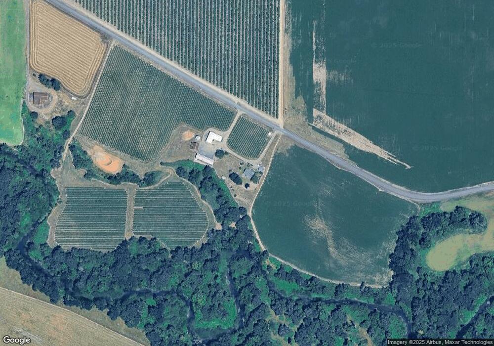
Map
Nearby Homes
- 0 Westview Ln Unit 24100906
- 0 Westview Ln Unit 822683
- 0 Next To Airlie Rd Unit 220204700
- 0 Next To Airlie Rd Unit 830692
- 16000 Airlie Rd
- 7340/7350 Smith Rd
- 7350 Smith Rd
- 0 Airlie Rd
- 0 (Next To) Airlie Rd
- 14060 Simpson Rd
- 11090 Simpson Rd
- 13100 Rd
- 13530 Fishback Rd
- 13260 Fishback Rd
- 14609 Forest Hill Dr
- 14906 Ferns Corner Rd
- 7465 Kings Valley Hwy
- 11660 Simpson Rd
- 11050 Elkins (Next To) Rd
- 000 Kings Valley Hwy