Estimated Value: $413,000 - $529,000
2
Beds
2
Baths
3,008
Sq Ft
$160/Sq Ft
Est. Value
About This Home
This home is located at 9145 W 590 Rd, Inola, OK 74036 and is currently estimated at $479,788, approximately $159 per square foot. 9145 W 590 Rd is a home with nearby schools including Chouteau-Mazie High School.
Ownership History
Date
Name
Owned For
Owner Type
Purchase Details
Closed on
Apr 14, 2025
Sold by
Deshong Penelope Faith
Bought by
Penelope Faith Deshong Property Revocable Tru and Deshong
Current Estimated Value
Home Financials for this Owner
Home Financials are based on the most recent Mortgage that was taken out on this home.
Original Mortgage
$350,000
Outstanding Balance
$346,448
Interest Rate
6.63%
Mortgage Type
New Conventional
Estimated Equity
$133,340
Purchase Details
Closed on
Sep 9, 2013
Sold by
Hammond Bonnie and Hammond David
Bought by
Deshong Jerry D and Deshong Penny F
Create a Home Valuation Report for This Property
The Home Valuation Report is an in-depth analysis detailing your home's value as well as a comparison with similar homes in the area
Home Values in the Area
Average Home Value in this Area
Purchase History
| Date | Buyer | Sale Price | Title Company |
|---|---|---|---|
| Penelope Faith Deshong Property Revocable Tru | -- | Fidelity National Title | |
| Deshong Penny F | -- | Fidelity National Title | |
| Deshong Jerry D | $101 | None Available |
Source: Public Records
Mortgage History
| Date | Status | Borrower | Loan Amount |
|---|---|---|---|
| Open | Deshong Penny F | $350,000 |
Source: Public Records
Tax History Compared to Growth
Tax History
| Year | Tax Paid | Tax Assessment Tax Assessment Total Assessment is a certain percentage of the fair market value that is determined by local assessors to be the total taxable value of land and additions on the property. | Land | Improvement |
|---|---|---|---|---|
| 2024 | -- | $20,817 | $595 | $20,222 |
| 2023 | $0 | $20,211 | $463 | $19,748 |
| 2022 | $1,509 | $19,622 | $316 | $19,306 |
| 2021 | $1,509 | $19,051 | $203 | $18,848 |
| 2020 | $1,509 | $18,496 | $109 | $18,387 |
| 2019 | $1,439 | $17,957 | $109 | $17,957 |
| 2018 | $1,374 | $17,434 | $142 | $17,292 |
| 2017 | $1,355 | $16,926 | $142 | $16,784 |
| 2016 | $1,322 | $16,433 | $142 | $16,291 |
| 2015 | $1,324 | $15,955 | $142 | $15,813 |
| 2014 | $1,283 | $15,490 | $142 | $15,348 |
Source: Public Records
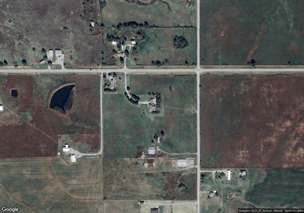
Map
Nearby Homes
- 10190 S 426 Rd
- 10495 S 426 Rd
- 8350 W 590 Rd
- 9122 S 42585 Rd
- 29550 S 4240 Rd
- 20354 E 580 Rd
- 12855 S 4255 Rd
- 19700 E 600
- 33922 S 4240 Rd
- 20672 E Kambrie Rd
- 0 N 4220 Rd Unit 2533064
- 33803 S 4230 Rd
- 640 W Clay Ave
- 32767 S 4220 Rd
- 525 W Clay St
- 0 Southeast Blvd
- 313 S Gray Ct
- 125 C St SE
- 304 Howey St
- 118 N Hayden St
- 10152 S 426 Rd
- 00 S 426 Rd
- 9179 W 590 Rd
- 9144 W 590 Rd
- 9185 W 590 Rd
- 10185 S 426 Rd
- 10268 S 426 Rd
- 10338 S 426 Rd
- 9415 W 590 Rd
- 10420 S 426 Rd
- 9417 W 590 Rd
- 10498 S 426 Rd
- 0 S 426 Rd Unit 1527411
- 0 S 426 Rd Unit 1530283
- 0 S 426 Rd Unit 1530287
- 0 S 426 Rd Unit 1541049
- 0 S 426 Rd Unit 1541053
- 0 S 426 Rd Unit 1605978
- 0 S 426 Rd Unit 1627726
- 0 S 426 Rd Unit 1629415