9147 Tschudy Hill Rd SW Port Washington, OH 43837
Estimated Value: $181,000 - $246,000
4
Beds
2
Baths
912
Sq Ft
$228/Sq Ft
Est. Value
About This Home
This home is located at 9147 Tschudy Hill Rd SW, Port Washington, OH 43837 and is currently estimated at $208,296, approximately $228 per square foot. 9147 Tschudy Hill Rd SW is a home located in Tuscarawas County with nearby schools including Port Washington Elementary School, Tuscarawas Middle School, and Indian Valley High School.
Ownership History
Date
Name
Owned For
Owner Type
Purchase Details
Closed on
Sep 11, 2006
Sold by
Stull Randy and Stull Rhonda
Bought by
Moore Alvin and Moore Debra
Current Estimated Value
Home Financials for this Owner
Home Financials are based on the most recent Mortgage that was taken out on this home.
Original Mortgage
$119,000
Interest Rate
6.77%
Mortgage Type
Purchase Money Mortgage
Create a Home Valuation Report for This Property
The Home Valuation Report is an in-depth analysis detailing your home's value as well as a comparison with similar homes in the area
Home Values in the Area
Average Home Value in this Area
Purchase History
| Date | Buyer | Sale Price | Title Company |
|---|---|---|---|
| Moore Alvin | $119,000 | Alban Title |
Source: Public Records
Mortgage History
| Date | Status | Borrower | Loan Amount |
|---|---|---|---|
| Closed | Moore Alvin | $119,000 |
Source: Public Records
Tax History Compared to Growth
Tax History
| Year | Tax Paid | Tax Assessment Tax Assessment Total Assessment is a certain percentage of the fair market value that is determined by local assessors to be the total taxable value of land and additions on the property. | Land | Improvement |
|---|---|---|---|---|
| 2024 | $1,487 | $39,490 | $5,180 | $34,310 |
| 2023 | $1,487 | $112,830 | $14,810 | $98,020 |
| 2022 | $1,418 | $39,491 | $5,184 | $34,307 |
| 2021 | $1,199 | $31,556 | $4,410 | $27,146 |
| 2020 | $1,212 | $31,556 | $4,410 | $27,146 |
| 2019 | $1,218 | $31,556 | $4,410 | $27,146 |
| 2018 | $1,224 | $30,180 | $4,220 | $25,960 |
| 2017 | $1,227 | $30,180 | $4,220 | $25,960 |
| 2016 | $1,232 | $30,180 | $4,220 | $25,960 |
| 2014 | $1,196 | $28,400 | $3,110 | $25,290 |
| 2013 | $1,180 | $28,400 | $3,110 | $25,290 |
Source: Public Records
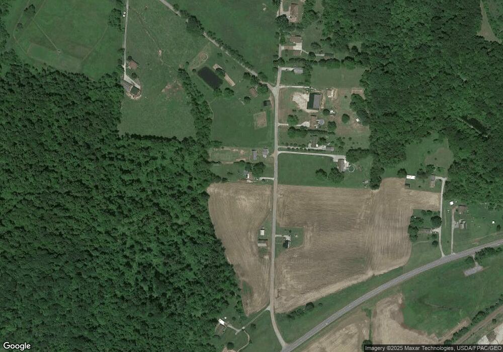
Map
Nearby Homes
- 207 S Saint Clairsville Rd
- 1188 Frys Valley Rd SW
- 482 Lock Seventeen Rd SE
- 5043 Frys Valley Rd SW
- 1394 Sharon Valley Rd SW
- 236 N Plum St
- 5223 Kinsey Valley Rd SW
- 6518 Stonecreek Rd SW
- 9375 Ridge Rd SE
- 6599 Buckhorn Rd
- 0 Twy Highway 116
- 6176 Scott Rd SW
- 4980 Beagle Club Rd
- 3469 Oldtown Valley Rd SW
- 6599 State Route 751 SW
- 611 Wainwright Rd SE
- 6075 E State Rd
- 133 S Main St
- 0000 Wainwright Rd
- 0 Scott Dr
- 9139 Tschudy Hill Rd SW
- 9189 Tschudy Hill Rd SW
- 9125 Tschudy Hill Rd SW
- 9113 Tschudy Hill Rd SW
- 9088 Tschudy Hill Rd SW
- 8861 Hammond Hill Rd SW
- 8833 Hammond Hill Rd SW
- 9240 Tschudy Hill Rd SW
- 9324 State Route 36 SW
- 9014 Tschudy Hill Rd SW
- 8805 Hammond Hill Rd SW
- 9610 State Route 36 SW
- 8775 Hammond Hill Rd SW
- 9304 State Route 36 SW
- 9686 State Route 36 SW
- 8977 Tschudy Hill Rd SW
- 8728 Hammond Hill Rd SW
- 8983 Tschudy Hill Rd SW
- 8955 Tschudy Hill Rd SW
- 8917 Tschudy Hill Rd SW