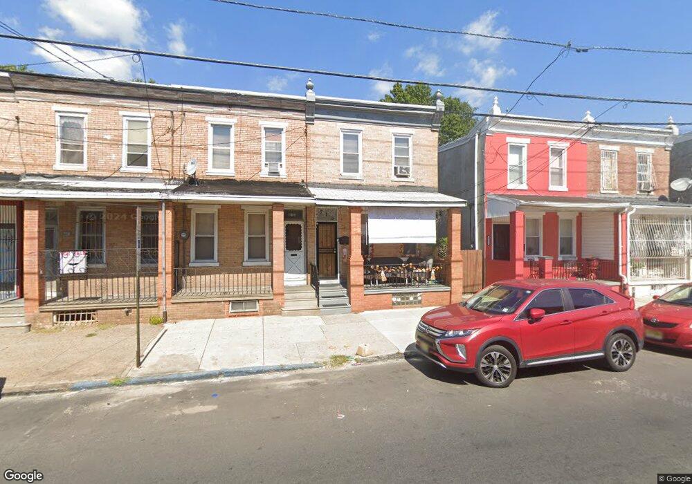
915 Atlantic Ave Camden, NJ 08104
Gateway NeighborhoodEstimated Value: $63,917 - $187,000
--
Bed
--
Bath
1,260
Sq Ft
$109/Sq Ft
Est. Value
About This Home
This home is located at 915 Atlantic Ave, Camden, NJ 08104 and is currently estimated at $137,729, approximately $109 per square foot. 915 Atlantic Ave is a home located in Camden County with nearby schools including Camden High School and Freedom Prep Charter School.
Ownership History
Date
Name
Owned For
Owner Type
Purchase Details
Closed on
Aug 2, 2017
Sold by
Coward Robert
Bought by
Coward Darcell
Current Estimated Value
Purchase Details
Closed on
Nov 26, 2016
Sold by
Coward Mary E
Bought by
Coward Robert
Purchase Details
Closed on
Aug 26, 2015
Sold by
Coward Mary
Bought by
Abc Bail Bonds Inc
Home Financials for this Owner
Home Financials are based on the most recent Mortgage that was taken out on this home.
Interest Rate
3.93%
Purchase Details
Closed on
Feb 26, 1990
Bought by
Coward Mary E
Create a Home Valuation Report for This Property
The Home Valuation Report is an in-depth analysis detailing your home's value as well as a comparison with similar homes in the area
Home Values in the Area
Average Home Value in this Area
Purchase History
| Date | Buyer | Sale Price | Title Company |
|---|---|---|---|
| Coward Darcell | -- | None Available | |
| Coward Robert | -- | None Available | |
| Abc Bail Bonds Inc | -- | -- | |
| Coward Mary E | $10,000 | -- |
Source: Public Records
Mortgage History
| Date | Status | Borrower | Loan Amount |
|---|---|---|---|
| Closed | Abc Bail Bonds Inc | -- |
Source: Public Records
Tax History Compared to Growth
Tax History
| Year | Tax Paid | Tax Assessment Tax Assessment Total Assessment is a certain percentage of the fair market value that is determined by local assessors to be the total taxable value of land and additions on the property. | Land | Improvement |
|---|---|---|---|---|
| 2025 | $935 | $26,400 | $6,800 | $19,600 |
| 2024 | $904 | $26,400 | $6,800 | $19,600 |
| 2023 | $904 | $26,400 | $6,800 | $19,600 |
| 2022 | $887 | $26,400 | $6,800 | $19,600 |
| 2021 | $674 | $26,400 | $6,800 | $19,600 |
| 2020 | $840 | $26,400 | $6,800 | $19,600 |
| 2019 | $804 | $26,400 | $6,800 | $19,600 |
| 2018 | $800 | $26,400 | $6,800 | $19,600 |
| 2017 | $780 | $26,400 | $6,800 | $19,600 |
| 2016 | $755 | $26,400 | $6,800 | $19,600 |
| 2015 | $477 | $26,400 | $6,800 | $19,600 |
| 2014 | $460 | $26,400 | $6,800 | $19,600 |
Source: Public Records
Map
Nearby Homes
- 910 Mechanic St
- 936 Mechanic St
- 1522 S 10th St
- 1476 Mount Ephraim Ave Unit 3
- 1140 Kaighn Ave
- 1165 Lansdowne Ave
- 764 Mount Vernon St
- 940 Morton St
- 1167 Lansdowne Ave
- 1137 Sycamore St
- 1169 Lansdowne Ave
- 1097 Morton St
- 1224 Chestnut St
- 1165 Morton St
- 1218 1/2 Atlantic Ave
- 1321 S 6th St
- 1574 Mount Ephraim Ave
- 449 S 6th St
- 918 Mount Ephraim Ave
- 917 S 8th St
- 913 Atlantic Ave
- 917 Atlantic Ave
- 911 Atlantic Ave
- 919 Atlantic Ave
- 909 Atlantic Ave
- 921 Atlantic Ave
- 923 Atlantic Ave
- 905 Atlantic Ave
- 925 Atlantic Ave
- 914 Mechanic St
- 916 Mechanic St
- 901 Atlantic Ave
- 912 Mechanic St
- 918 Mechanic St
- 920 Mechanic St
- 929 Atlantic Ave
- 908 Mechanic St
- 906 Mechanic St
- 931 Atlantic Ave
- 924 Mechanic St