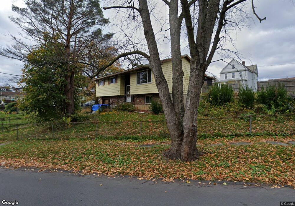
915 Euclid Ave Scranton, PA 18504
Tripp's Park NeighborhoodEstimated Value: $66,156 - $226,000
3
Beds
1
Bath
1,350
Sq Ft
$123/Sq Ft
Est. Value
About This Home
This home is located at 915 Euclid Ave, Scranton, PA 18504 and is currently estimated at $166,039, approximately $122 per square foot. 915 Euclid Ave is a home located in Lackawanna County with nearby schools including Longan Elementary School, Adams Elementary School, and Isaac Tripp Elementary School.
Ownership History
Date
Name
Owned For
Owner Type
Purchase Details
Closed on
Oct 25, 2017
Sold by
Lackawanna County Sheriff and Cantafie Anthony Sheriff
Bought by
Keybank
Current Estimated Value
Purchase Details
Closed on
Oct 12, 2017
Sold by
Keybank Na
Bought by
Seneca St Llc
Purchase Details
Closed on
Nov 9, 2011
Sold by
Cantafio Carol
Bought by
Cantafio Frank A and Bates Angela
Purchase Details
Closed on
Aug 9, 2007
Sold by
Cantafio Frank A and Cantafio Margaret
Bought by
Cantafio Margaret and Cantafio Frank A
Create a Home Valuation Report for This Property
The Home Valuation Report is an in-depth analysis detailing your home's value as well as a comparison with similar homes in the area
Home Values in the Area
Average Home Value in this Area
Purchase History
| Date | Buyer | Sale Price | Title Company |
|---|---|---|---|
| Keybank | -- | -- | |
| Seneca St Llc | $9,500 | -- | |
| Cantafio Frank A | -- | None Available | |
| Cantafio Margaret | -- | None Available |
Source: Public Records
Tax History Compared to Growth
Tax History
| Year | Tax Paid | Tax Assessment Tax Assessment Total Assessment is a certain percentage of the fair market value that is determined by local assessors to be the total taxable value of land and additions on the property. | Land | Improvement |
|---|---|---|---|---|
| 2025 | $4,828 | $15,000 | $2,400 | $12,600 |
| 2024 | $4,413 | $15,000 | $2,400 | $12,600 |
| 2023 | $4,413 | $15,000 | $2,400 | $12,600 |
| 2022 | $4,316 | $15,000 | $2,400 | $12,600 |
| 2021 | $4,316 | $15,000 | $2,400 | $12,600 |
| 2020 | $4,235 | $15,000 | $2,400 | $12,600 |
| 2019 | $3,984 | $15,000 | $2,400 | $12,600 |
| 2018 | $3,984 | $15,000 | $2,400 | $12,600 |
| 2017 | $3,913 | $15,000 | $2,400 | $12,600 |
| 2016 | $1,195 | $15,000 | $2,400 | $12,600 |
| 2015 | $2,937 | $15,000 | $2,400 | $12,600 |
| 2014 | -- | $15,000 | $2,400 | $12,600 |
Source: Public Records
Map
Nearby Homes
- 991 N Sumner Ave Unit 1/2 L 13
- 1425 Bulwer St
- 1431 Dorothy St
- 1126 W Gibson St
- 1008 Mount Vernon Ave
- 1501 Farr St
- 1727 Dorothy St
- 1235 N Sumner Ave
- 116 Little Spike Way Unit L 40
- 833 Powderly Ct
- 1327 Oram St
- 1227 Providence Rd
- 0 Philo St Unit GSBSC4763
- 942 Providence Rd
- 938 Providence Rd
- 656 Philo St
- 1311 Short Ave
- 638 N Lincoln Ave
- 1206 Blair Ave Unit Rear
- 1402 N Rebecca Ave
- 991 N 1 2 Sumner L 13 Ave
- 974 N Sumner Ave
- 991 N Sumner Ave
- 991 1/2 N Sumner Ave Unit 13
- 970 N Sumner Ave Unit L9
- 993 N Sumner Ave
- 947 Euclid Ave
- 0 N Sumner Ave
- 995 N Sumner Ave Unit 997
- 973 N Sumner Ave Unit 975
- 1414 Elizabeth St
- 1413-1415 Elizabeth St
- 1415 Elizabeth St
- 1413 Elizabeth St Unit 1415
- 1344 Dorothy St
- 1340 Dorothy St Unit 42
- 1413 Bulwer St
- 1402 Dorothy St
- 1419 Elizabeth St
- 1418 Elizabeth St