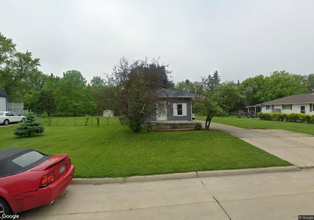
915 Harbor Ave Monroe, MI 48162
Northeast Monroe NeighborhoodEstimated Value: $185,000 - $226,000
4
Beds
1
Bath
1,836
Sq Ft
$115/Sq Ft
Est. Value
About This Home
This home is located at 915 Harbor Ave, Monroe, MI 48162 and is currently estimated at $210,329, approximately $114 per square foot. 915 Harbor Ave is a home located in Monroe County with nearby schools including Monroe High School, St Mary's Catholic Elementary School, and Trinity Lutheran School.
Ownership History
Date
Name
Owned For
Owner Type
Purchase Details
Closed on
Jun 18, 2018
Sold by
Loth Patricia E
Bought by
Loth Patricia E
Current Estimated Value
Purchase Details
Closed on
Jun 5, 2018
Sold by
Loth Patricia E
Bought by
Loth Patricia E and Hill Gregory Alan
Purchase Details
Closed on
Aug 23, 2001
Sold by
Kovacevic John
Bought by
Vanhorn Jody
Home Financials for this Owner
Home Financials are based on the most recent Mortgage that was taken out on this home.
Original Mortgage
$103,500
Interest Rate
7.28%
Mortgage Type
New Conventional
Create a Home Valuation Report for This Property
The Home Valuation Report is an in-depth analysis detailing your home's value as well as a comparison with similar homes in the area
Home Values in the Area
Average Home Value in this Area
Purchase History
| Date | Buyer | Sale Price | Title Company |
|---|---|---|---|
| Loth Patricia E | -- | None Listed On Document | |
| Loth Patricia E | -- | None Available | |
| Vanhorn Jody | $115,000 | -- |
Source: Public Records
Mortgage History
| Date | Status | Borrower | Loan Amount |
|---|---|---|---|
| Previous Owner | Vanhorn Jody | $103,500 |
Source: Public Records
Tax History Compared to Growth
Tax History
| Year | Tax Paid | Tax Assessment Tax Assessment Total Assessment is a certain percentage of the fair market value that is determined by local assessors to be the total taxable value of land and additions on the property. | Land | Improvement |
|---|---|---|---|---|
| 2025 | $2,557 | $102,800 | $102,800 | $0 |
| 2024 | $1,295 | $89,800 | $0 | $0 |
| 2023 | $1,239 | $71,350 | $0 | $0 |
| 2022 | $2,333 | $71,350 | $0 | $0 |
| 2021 | $2,255 | $65,880 | $0 | $0 |
| 2020 | $2,137 | $52,950 | $0 | $0 |
| 2019 | $2,047 | $52,950 | $0 | $0 |
| 2018 | $1,993 | $40,330 | $0 | $0 |
| 2017 | $1,952 | $40,330 | $0 | $0 |
| 2016 | $1,914 | $41,540 | $0 | $0 |
| 2015 | $1,850 | $32,790 | $0 | $0 |
| 2014 | $1,850 | $32,790 | $0 | $0 |
| 2013 | -- | $32,870 | $0 | $0 |
Source: Public Records
Map
Nearby Homes
- 824 Harbor Ave
- 1041 Detroit Ave
- Harbor Plan at Mason Run
- Cove Plan at Mason Run
- Bayside Plan at Mason Run
- Hampton Plan at Mason Run
- Cascade Plan at Mason Run
- 438 Mason Run Blvd
- 639 Michigan Ave
- 480 Mason Run Blvd
- 422 Lapoint Ave
- 406 Lapoint Ave
- 608 Scottwood Ave
- 1060 Hollywood Dr
- 229 Michigan Ave
- 1405 Arbor Ave
- 415 E Noble Ave
- 1189 Sunset Blvd
- 0 N Macomb St
- 0 N Dixie Hwy Unit 900 50163062
- 923 Harbor Ave
- 925 Harbor Ave
- 907 Harbor Ave
- 918 Harbor Ave
- 922 Harbor Ave
- 914 Harbor Ave
- 902 Harbor Ave
- 910 Harbor Ave
- 934 Harbor Ave
- 1001 Harbor Ave
- 832 Harbor Ave
- 1002 Harbor Ave
- 1015 Harbor Ave
- 817 Harbor Ave
- 1017 Harbor Ave
- 1012 Harbor Ave
- 1002 N Dixie Hwy
- 909 Detroit Ave
- 929 Detroit Ave
- 917 Detroit Ave