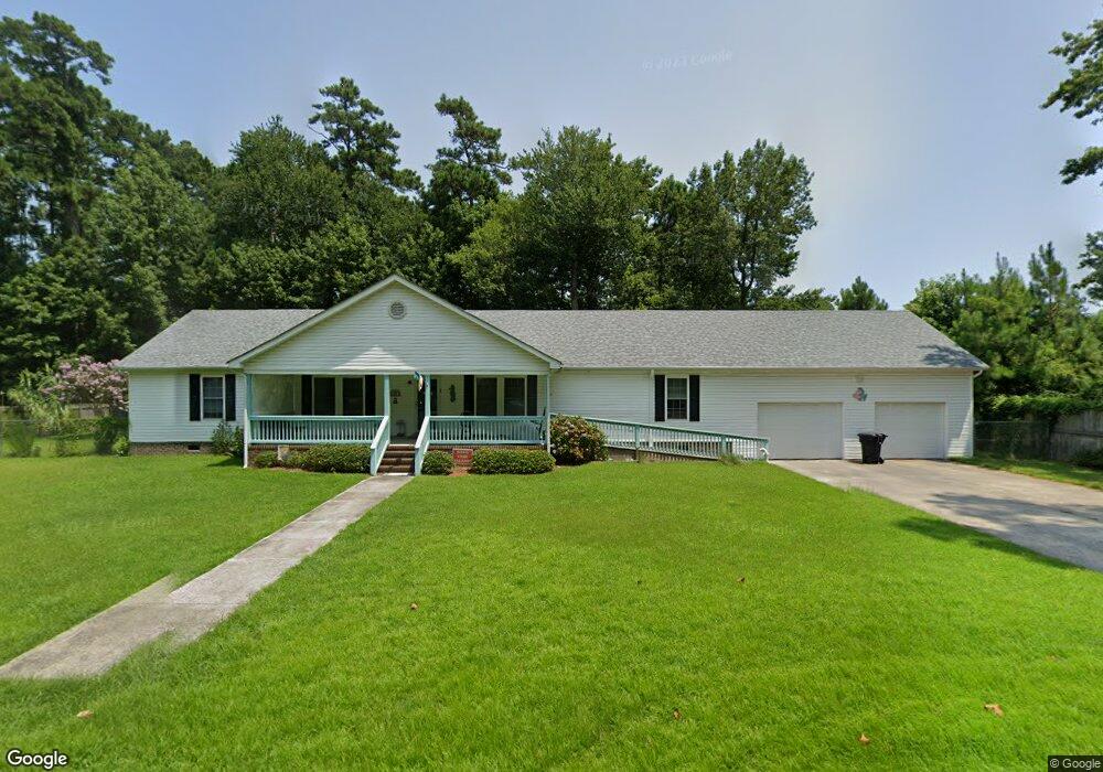
915 Harriot St Unit 4 and 5 Manteo, NC 27954
Estimated Value: $389,000 - $501,000
3
Beds
2
Baths
2,016
Sq Ft
$212/Sq Ft
Est. Value
About This Home
This home is located at 915 Harriot St Unit 4 and 5, Manteo, NC 27954 and is currently estimated at $427,000, approximately $211 per square foot. 915 Harriot St Unit 4 and 5 is a home located in Dare County with nearby schools including Manteo Elementary School, Manteo Middle School, and Manteo High School.
Ownership History
Date
Name
Owned For
Owner Type
Purchase Details
Closed on
Jun 2, 2022
Sold by
Patricia Shell
Bought by
Meekins Tess M
Current Estimated Value
Purchase Details
Closed on
Aug 17, 2010
Sold by
The Bank Of New York Mellon
Bought by
Shell Patricia
Home Financials for this Owner
Home Financials are based on the most recent Mortgage that was taken out on this home.
Original Mortgage
$101,481
Interest Rate
4.87%
Mortgage Type
FHA
Purchase Details
Closed on
Oct 19, 2009
Sold by
West Charles D and West Ann
Bought by
Bank Of New York
Create a Home Valuation Report for This Property
The Home Valuation Report is an in-depth analysis detailing your home's value as well as a comparison with similar homes in the area
Home Values in the Area
Average Home Value in this Area
Purchase History
| Date | Buyer | Sale Price | Title Company |
|---|---|---|---|
| Meekins Tess M | $12,000 | Mckeithan Jay W | |
| Shell Patricia | $91,500 | None Available | |
| Bank Of New York | $187,500 | None Available |
Source: Public Records
Mortgage History
| Date | Status | Borrower | Loan Amount |
|---|---|---|---|
| Previous Owner | Shell Patricia | $101,481 |
Source: Public Records
Tax History Compared to Growth
Tax History
| Year | Tax Paid | Tax Assessment Tax Assessment Total Assessment is a certain percentage of the fair market value that is determined by local assessors to be the total taxable value of land and additions on the property. | Land | Improvement |
|---|---|---|---|---|
| 2024 | $1,456 | $263,400 | $44,700 | $218,700 |
| 2023 | $1,441 | $263,400 | $44,700 | $218,700 |
| 2022 | $1,415 | $263,400 | $44,700 | $218,700 |
| 2021 | $1,388 | $263,400 | $44,700 | $218,700 |
| 2020 | $1,385 | $263,400 | $44,700 | $218,700 |
| 2019 | $1,451 | $235,300 | $45,200 | $190,100 |
| 2018 | $1,451 | $235,300 | $45,200 | $190,100 |
| 2017 | $1,451 | $235,300 | $45,200 | $190,100 |
| 2016 | $1,357 | $235,300 | $45,200 | $190,100 |
| 2014 | $1,357 | $235,300 | $45,200 | $190,100 |
Source: Public Records
Map
Nearby Homes
- 707 Harriot St Unit lot 7
- 137 Sherwood Dr Unit Lot 58
- 137 Sherwood Dr
- 0 Shady Pines Ln Unit Lot 13 128538
- 0 Shady Pines Ln Unit Lot 27 128148
- 1434 /202D Dartmoor Ave Unit 202D
- 116 Cutter Ct Unit Lot 6
- 938 Burnside Rd Unit Lot NA
- 942 Burnside Rd Unit Lot NA
- 517 Unit 2 Ananias Dare St Unit 2
- 517 Unit 1 Ananias Dare St Unit 1
- 517 Ananias Dare St Unit 4
- 517 Ananias Dare St Unit 3
- 501 Dora Dr Unit Lot 26
- 1006 Burnside Rd
- 127 Meekins Dr Unit Lot 5
- 132 Ward Ln
- 132 Ward Ln Unit Lot40
- 318 Sir Walter Raleigh St
- 1095 Burnside Rd Unit Lot B3