915 McConnells Hwy W Mc Connells, SC 29726
Estimated Value: $184,000 - $383,000
--
Bed
--
Bath
1,264
Sq Ft
$214/Sq Ft
Est. Value
About This Home
This home is located at 915 McConnells Hwy W, Mc Connells, SC 29726 and is currently estimated at $270,000, approximately $213 per square foot. 915 McConnells Hwy W is a home located in York County with nearby schools including Jefferson Elementary School, York Intermediate School, and York Middle School.
Ownership History
Date
Name
Owned For
Owner Type
Purchase Details
Closed on
May 19, 2023
Sold by
Feemster Woodrow
Bought by
Feemster Thomas W and Gibson Kimberly Feemster
Current Estimated Value
Purchase Details
Closed on
Dec 31, 2019
Sold by
Feemster Thomas Woodrow
Bought by
Feemster Woodrow W
Purchase Details
Closed on
Aug 31, 2017
Sold by
Feemster Woodrow W
Bought by
Feemster Thomas Woodrow
Purchase Details
Closed on
Dec 16, 2012
Sold by
Estate Of Grace C Feemster
Bought by
Feemster Woodrow W and Feemster Robert E
Create a Home Valuation Report for This Property
The Home Valuation Report is an in-depth analysis detailing your home's value as well as a comparison with similar homes in the area
Home Values in the Area
Average Home Value in this Area
Purchase History
| Date | Buyer | Sale Price | Title Company |
|---|---|---|---|
| Feemster Thomas W | -- | None Listed On Document | |
| Feemster Woodrow W | -- | None Available | |
| Feemster Thomas Woodrow | -- | None Available | |
| Feemster Woodrow W | -- | -- |
Source: Public Records
Tax History Compared to Growth
Tax History
| Year | Tax Paid | Tax Assessment Tax Assessment Total Assessment is a certain percentage of the fair market value that is determined by local assessors to be the total taxable value of land and additions on the property. | Land | Improvement |
|---|---|---|---|---|
| 2025 | $3,271 | $7,530 | $1,246 | $6,284 |
| 2024 | $2,814 | $6,558 | $903 | $5,655 |
| 2023 | $2,621 | $6,186 | $435 | $5,751 |
| 2022 | $2,519 | $6,186 | $435 | $5,751 |
| 2021 | -- | $6,186 | $435 | $5,751 |
| 2020 | $1,818 | $4,595 | $0 | $0 |
| 2019 | $1,649 | $4,005 | $0 | $0 |
| 2018 | $1,593 | $4,005 | $0 | $0 |
| 2017 | $1,531 | $4,005 | $0 | $0 |
| 2016 | $1,502 | $4,005 | $0 | $0 |
| 2014 | $137 | $4,005 | $405 | $3,600 |
| 2013 | $137 | $4,185 | $405 | $3,780 |
Source: Public Records
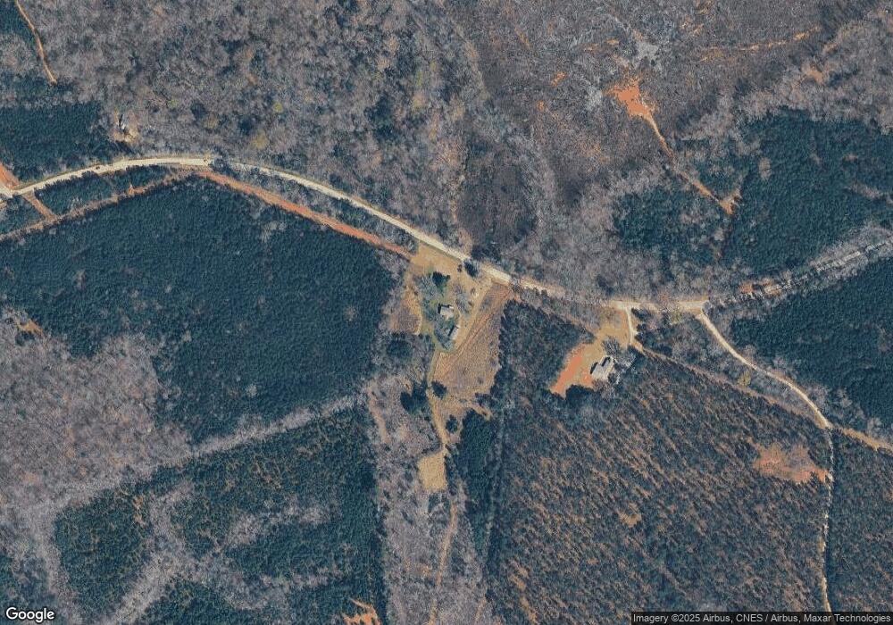
Map
Nearby Homes
- 1302 Bryson Creek Dr
- 1334 Bryson Creek Dr
- 1348 Bryson Creek Dr
- 1369 Mack Dr
- 1865 McConnells Hwy W
- 1951 McConnells Hwy W
- 615 Hawley Rd
- 665 N Burris Rd
- 000 Creekside Dr Unit 65,66,67
- 2420 Creekside Dr
- 605 Colony Rd
- 108 Daves Rd
- 211 Daves Rd
- 1265 N Burris Rd
- 208 Daves Rd
- 143 Flushing Dr
- 2099 Cedar Rd
- 6.5 + - Ac Bookout Rd
- 5072 Mobley Store Rd
- 5027 Mobley Store Rd
- 125AC Parson Rd
- 0 Parsons Rd Unit 2093974
- 12 AC Parson Rd Unit Lot12
- 42 AC Parson Rd
- Lot 4 Parson Rd
- Lot 6a Parson Rd Unit 6a
- 6 Ac Parson Rd Unit lot 9
- 10 acr Parsons Rd
- 9 AC Parson Rd Unit 9
- 37 AC Parson Rd
- 9 AC Parson Rd
- 7 Ac Parson Rd
- 6.25AC Parson Rd
- 11 Ac Parson Rd
- 5 Ac Parson Rd Unit 6b
- 7 Ac Parson Rd Unit lot 10
- 13 Ac Parson Rd
- 1175 W McConnells Hwy
- 1175-C W McConnells Hwy
- 203 Garvin Rd