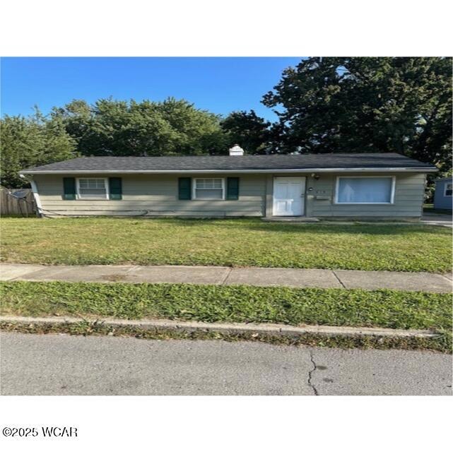
915 Michael Ave Lima, OH 45804
Fifth Ward Neighborhood
Total Views
2,248
3
Beds
1
Bath
912
Sq Ft
--
Price per Sq Ft
Highlights
- Ranch Style House
- Central Air
- 2-minute walk to Cook Park
- No HOA
- Baseboard Heating
About This Home
This house will appeal to landlords and flippers alike. This home was built in 1962 and has 3 bedrooms, 1 bathroom, and contains 912 square feet of living space. Selling subject to tenants' rights. No interior inspections available. Online bedding only. Bidding ends at 5:15 pm December 17, 2025.
Visit Bee Gee Realty website for more information on how to bid.
Home Details
Home Type
- Single Family
Year Built
- Built in 1962
Lot Details
- Lot Dimensions are 53x150
Home Design
- 912 Sq Ft Home
- Ranch Style House
Bedrooms and Bathrooms
- 3 Bedrooms
- 1 Full Bathroom
Utilities
- Central Air
- Baseboard Heating
Community Details
- No Home Owners Association
Listing and Financial Details
- Assessor Parcel Number 47060801018.000
Map
Create a Home Valuation Report for This Property
The Home Valuation Report is an in-depth analysis detailing your home's value as well as a comparison with similar homes in the area
Home Values in the Area
Average Home Value in this Area
Tax History
| Year | Tax Paid | Tax Assessment Tax Assessment Total Assessment is a certain percentage of the fair market value that is determined by local assessors to be the total taxable value of land and additions on the property. | Land | Improvement |
|---|---|---|---|---|
| 2024 | $267 | $5,680 | $1,300 | $4,380 |
| 2023 | $284 | $5,400 | $1,230 | $4,170 |
| 2022 | $284 | $5,400 | $1,230 | $4,170 |
| 2021 | $298 | $5,400 | $1,230 | $4,170 |
| 2020 | $372 | $6,340 | $1,230 | $5,110 |
| 2019 | $372 | $6,340 | $1,230 | $5,110 |
| 2018 | $368 | $6,340 | $1,230 | $5,110 |
| 2017 | $373 | $6,340 | $1,230 | $5,110 |
| 2016 | $379 | $6,340 | $1,230 | $5,110 |
| 2015 | $473 | $6,340 | $1,230 | $5,110 |
| 2014 | $473 | $8,160 | $1,260 | $6,900 |
| 2013 | $720 | $8,160 | $1,260 | $6,900 |
Source: Public Records
Property History
| Date | Event | Price | List to Sale | Price per Sq Ft |
|---|---|---|---|---|
| 12/29/2025 12/29/25 | Pending | -- | -- | -- |
| 12/01/2025 12/01/25 | For Sale | -- | -- | -- |
Source: West Central Association of REALTORS® (OH)
Purchase History
| Date | Type | Sale Price | Title Company |
|---|---|---|---|
| Guardian Deed | $37,500 | None Listed On Document | |
| Sheriffs Deed | $70,000 | None Available | |
| Warranty Deed | $21,500 | None Available | |
| Deed | $23,500 | -- | |
| Deed | -- | -- | |
| Deed | $21,500 | -- |
Source: Public Records
Source: West Central Association of REALTORS® (OH)
MLS Number: 308942
APN: 47-06-08-01-018.000
Nearby Homes

Your Personal Tour Guide
Ask me questions while you tour the home.