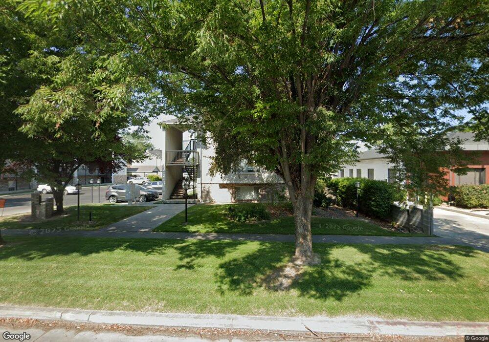
915 N 500 W Unit 22 Provo, UT 84604
Rivergrove NeighborhoodEstimated Value: $279,000 - $319,000
2
Beds
1
Bath
825
Sq Ft
$358/Sq Ft
Est. Value
About This Home
This home is located at 915 N 500 W Unit 22, Provo, UT 84604 and is currently estimated at $294,951, approximately $357 per square foot. 915 N 500 W Unit 22 is a home located in Utah County with nearby schools including Timpanogos Elementary School, Dixon Middle School, and Provo High School.
Ownership History
Date
Name
Owned For
Owner Type
Purchase Details
Closed on
Nov 20, 2009
Sold by
Labeau Helen Renee and Labeau Renee
Bought by
Labeau Helen Renee and Helen Renee Labeau Revocable Trust
Current Estimated Value
Purchase Details
Closed on
Jul 16, 2007
Sold by
Kight Mckee Legacy Llc
Bought by
Labeau Renee
Purchase Details
Closed on
Aug 9, 2000
Sold by
Pickett Pamela
Bought by
Kight Mckee Legacy Llc
Purchase Details
Closed on
Apr 8, 1999
Sold by
Dayton David A and Dayton Lynn T
Bought by
Pickett Pamela
Home Financials for this Owner
Home Financials are based on the most recent Mortgage that was taken out on this home.
Original Mortgage
$50,000
Interest Rate
7.04%
Create a Home Valuation Report for This Property
The Home Valuation Report is an in-depth analysis detailing your home's value as well as a comparison with similar homes in the area
Home Values in the Area
Average Home Value in this Area
Purchase History
| Date | Buyer | Sale Price | Title Company |
|---|---|---|---|
| Labeau Helen Renee | -- | None Available | |
| Labeau Renee | -- | Utah Standard Title | |
| Kight Mckee Legacy Llc | -- | -- | |
| Pickett Pamela | -- | Meridian Title |
Source: Public Records
Mortgage History
| Date | Status | Borrower | Loan Amount |
|---|---|---|---|
| Previous Owner | Pickett Pamela | $50,000 |
Source: Public Records
Tax History Compared to Growth
Tax History
| Year | Tax Paid | Tax Assessment Tax Assessment Total Assessment is a certain percentage of the fair market value that is determined by local assessors to be the total taxable value of land and additions on the property. | Land | Improvement |
|---|---|---|---|---|
| 2025 | $1,420 | $148,500 | $30,000 | $240,000 |
| 2024 | $1,420 | $139,810 | $0 | $0 |
| 2023 | $1,404 | $136,290 | $0 | $0 |
| 2022 | $1,166 | $114,070 | $0 | $0 |
| 2021 | $980 | $167,300 | $20,100 | $147,200 |
| 2020 | $967 | $154,700 | $18,600 | $136,100 |
| 2019 | $841 | $140,000 | $15,600 | $124,400 |
| 2018 | $768 | $129,600 | $15,600 | $114,000 |
| 2017 | $641 | $59,400 | $0 | $0 |
| 2016 | $636 | $55,000 | $0 | $0 |
| 2015 | $630 | $55,000 | $0 | $0 |
| 2014 | $568 | $51,700 | $0 | $0 |
Source: Public Records
Map
Nearby Homes
- 556 W 800 N Unit 18
- 828 N 600 W
- 810 N 600 W
- 690 N 600 W
- 595 N 600 W
- 1149 N 850 W
- 1254 N 800 W
- 614 W 400 N
- 836 N University Ave Unit 111
- 440 N 800 W
- 902 W 500 N
- 410 N 800 W
- 361 N 300 W Unit 201
- 630 N 1100 W
- 526 N 1025 W
- 1250 Jordan Ave
- 1559 N Riverside Ave Unit 4
- 1533 N Riverside Ave Unit 27
- 257 N 900 W
- 1215 W 580 N
- 915 N 500 W Unit 23
- 915 N 500 W Unit 21
- 915 N 500 W
- 915 N 500 W
- 915 N 500 W Unit 18
- 915 N 500 W Unit 17
- 915 N 500 W Unit 16
- 915 N 500 W Unit 15
- 915 N 500 W Unit 14
- 915 N 500 W
- 915 N 500 W Unit 24
- 915 N 500 W
- 915 N 500 W Unit 13
- 915 N 500 W Unit 20
- 915 N 500 W Unit 19
- 925 N 500 W
- 925 N 500 W Unit 9
- 925 N 500 W Unit 6
- 931 N 500 W
- 933 N 500 W