915 N Main St Independence, OR 97351
Studio
--
Bath
10
Sq Ft
1.06
Acres
About This Home
This home is located at 915 N Main St, Independence, OR 97351. 915 N Main St is a home located in Polk County with nearby schools including Independence Elementary School, Talmadge Middle School, and Central High School.
Ownership History
Date
Name
Owned For
Owner Type
Purchase Details
Closed on
Dec 9, 2021
Sold by
Lazyman Llc
Bought by
Independence Beverages Llc
Home Financials for this Owner
Home Financials are based on the most recent Mortgage that was taken out on this home.
Original Mortgage
$728,000
Interest Rate
3.56%
Mortgage Type
Construction
Purchase Details
Closed on
Dec 29, 2005
Sold by
Ediger Donald Gene and Ediger Patricia
Bought by
Lazyman Llc
Purchase Details
Closed on
Jul 1, 2004
Sold by
Ediger Anne
Bought by
Ediger Donald Gene and Ediger Patricia
Create a Home Valuation Report for This Property
The Home Valuation Report is an in-depth analysis detailing your home's value as well as a comparison with similar homes in the area
Home Values in the Area
Average Home Value in this Area
Purchase History
| Date | Buyer | Sale Price | Title Company |
|---|---|---|---|
| Independence Beverages Llc | $910,000 | First American Title | |
| Lazyman Llc | $557,000 | None Available | |
| Lazyman Llc | $557,000 | Ticor Title | |
| Ediger Donald Gene | $72,000 | -- |
Source: Public Records
Mortgage History
| Date | Status | Borrower | Loan Amount |
|---|---|---|---|
| Previous Owner | Independence Beverages Llc | $728,000 |
Source: Public Records
Tax History
| Year | Tax Paid | Tax Assessment Tax Assessment Total Assessment is a certain percentage of the fair market value that is determined by local assessors to be the total taxable value of land and additions on the property. | Land | Improvement |
|---|---|---|---|---|
| 2025 | $227 | $12,880 | -- | $12,880 |
| 2024 | $227 | $12,510 | $42,110 | $12,510 |
| 2023 | $232 | $12,150 | $0 | $12,150 |
| 2022 | $213 | $11,800 | $0 | $11,800 |
Source: Public Records
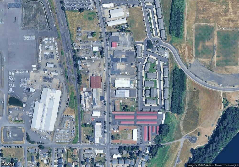
Map
Nearby Homes
- 905 Main St E
- 905 N Main St
- 1234 Main St
- 934 N Main St Unit 17
- 955 N Main St
- -1 Independence Hwy
- 201 Deann Dr
- 201 Deann Dr
- 960 N Main St
- 900 N Main St
- 811 N Main St 15
- 996 Sassafras St
- 996 Sassafras St
- 995 Sassafras St
- 811 N Main St Unit 17
- 1026 Sassafras St
- 1065 Sassafras St
- 1056 Sassafras St
- 1075 Sassafras St
- 158 Polk St