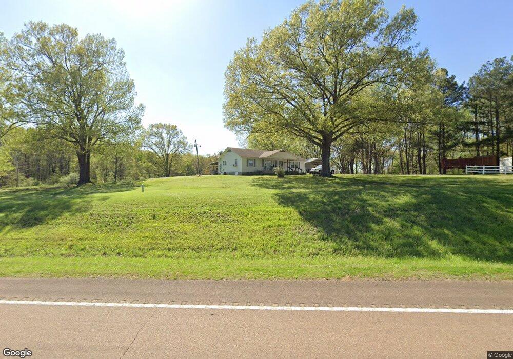
915 Ross Rd Olive Branch, MS 38654
Lewisburg NeighborhoodEstimated Value: $192,112 - $301,000
About This Home
This home is located at 915 Ross Rd, Olive Branch, MS 38654 and is currently estimated at $257,704, approximately $159 per square foot. 915 Ross Rd is a home located in DeSoto County with nearby schools including Lewisburg Primary School, Lewisburg Elementary School, and Lewisburg Middle School.
Ownership History
We collect this data history from publicly available records. To have your information removed, we recommend requesting removal directly through your county’s website.
Purchase Details
Home Financials for this Owner
Home Financials are based on the most recent Mortgage that was taken out on this home.Purchase Details
Home Values in the Area
Average Home Value in this Area
Purchase History
We collect this data history from publicly available records. To have your information removed, we recommend requesting removal directly through your county’s website.
| Date | Buyer | Sale Price | Title Company |
|---|---|---|---|
| -- | Select Title & Escrow Llc | ||
| $24,875 | None Available |
Mortgage History
We collect this data history from publicly available records. To have your information removed, we recommend requesting removal directly through your county’s website.
| Date | Status | Borrower | Loan Amount |
|---|---|---|---|
| Open | $132,000 |
Tax History
We collect this data history from publicly available records. To have your information removed, we recommend requesting removal directly through your county’s website.
| Year | Tax Paid | Tax Assessment Tax Assessment Total Assessment is a certain percentage of the fair market value that is determined by local assessors to be the total taxable value of land and additions on the property. | Land | Improvement |
|---|---|---|---|---|
| 2025 | $730 | $7,228 | $2,670 | $4,558 |
| 2024 | $696 | $6,897 | $2,670 | $4,227 |
| 2023 | $696 | $6,897 | $0 | $0 |
| 2022 | $420 | $6,897 | $2,670 | $4,227 |
| 2021 | $696 | $6,897 | $2,670 | $4,227 |
| 2020 | $662 | $6,558 | $2,670 | $3,888 |
| 2019 | $662 | $6,558 | $2,670 | $3,888 |
| 2017 | $657 | $10,248 | $6,459 | $3,789 |
| 2016 | $657 | $6,459 | $2,670 | $3,789 |
| 2015 | $657 | $10,248 | $6,459 | $3,789 |
| 2014 | $657 | $6,459 | $0 | $0 |
| 2013 | $657 | $6,459 | $0 | $0 |
Map
- 7337 Hawks Crossing Dr E
- 7314 Hawks Crossing Dr E
- 7198 Harrier Dr E
- 252 Shinpoch Ln
- 1595 Southern Ridge Trail
- 8070 Old Addison Dr
- 1108 Merloun Dr
- 443 Highway 305 N
- 1340 Craft Rd
- 1052 Aquila Cir N
- 6983 Farm Cove
- 1098 Broadwing Cir S
- 43 Highway 305 S
- 7686 John Elliott Ln
- 7712 John Elliott Ln
- 6603 Broadwing Cir W
- 7671 John Elliott Ln
- 7651 John Elliott Ln
- 2176 Charles Rd
- 7627 John Elliott Ln
Ask me questions while you tour the home.