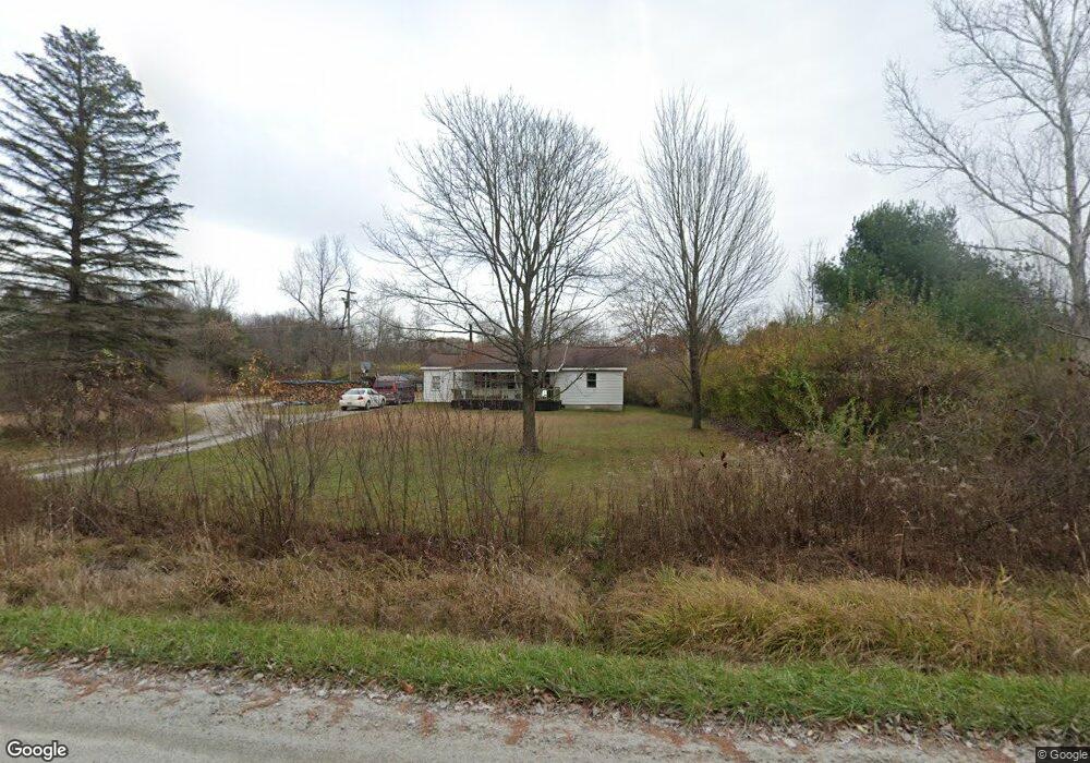
915 S Bartlett Rd Saint Clair, MI 48079
Estimated Value: $174,722 - $318,000
1
Bed
1
Bath
836
Sq Ft
$270/Sq Ft
Est. Value
About This Home
This home is located at 915 S Bartlett Rd, Saint Clair, MI 48079 and is currently estimated at $225,931, approximately $270 per square foot. 915 S Bartlett Rd is a home located in St. Clair County with nearby schools including Marysville High School and Blue Water SDA Elementary School.
Ownership History
Date
Name
Owned For
Owner Type
Purchase Details
Closed on
Aug 12, 2013
Sold by
Griffin Michael T and Griffin Doreen P
Bought by
Griffin Michael T and Griffin Doreen P
Current Estimated Value
Home Financials for this Owner
Home Financials are based on the most recent Mortgage that was taken out on this home.
Original Mortgage
$78,171
Interest Rate
4.29%
Mortgage Type
New Conventional
Purchase Details
Closed on
Apr 2, 2008
Sold by
Griffin Michael T
Bought by
Griffin Michael T and Wesseldyk Doreen
Create a Home Valuation Report for This Property
The Home Valuation Report is an in-depth analysis detailing your home's value as well as a comparison with similar homes in the area
Home Values in the Area
Average Home Value in this Area
Purchase History
| Date | Buyer | Sale Price | Title Company |
|---|---|---|---|
| Griffin Michael T | -- | None Available | |
| Griffin Michael T | -- | None Available |
Source: Public Records
Mortgage History
| Date | Status | Borrower | Loan Amount |
|---|---|---|---|
| Closed | Griffin Michael T | $78,171 |
Source: Public Records
Tax History
| Year | Tax Paid | Tax Assessment Tax Assessment Total Assessment is a certain percentage of the fair market value that is determined by local assessors to be the total taxable value of land and additions on the property. | Land | Improvement |
|---|---|---|---|---|
| 2025 | $579 | $78,100 | $0 | $0 |
| 2024 | $561 | $79,300 | $0 | $0 |
| 2023 | $535 | $60,100 | $0 | $0 |
| 2022 | $509 | $57,000 | $0 | $0 |
| 2020 | $877 | $53,500 | $53,500 | $0 |
| 2019 | $863 | $57,000 | $0 | $0 |
| 2018 | $1,313 | $57,000 | $0 | $0 |
| 2017 | $1,288 | $45,000 | $0 | $0 |
| 2016 | $453 | $45,000 | $0 | $0 |
| 2015 | -- | $44,700 | $44,700 | $0 |
| 2014 | -- | $42,200 | $42,200 | $0 |
| 2013 | -- | $39,600 | $0 | $0 |
Source: Public Records
Map
Nearby Homes
- 765 S Bartlett Rd
- 680 S Bartlett Rd
- 5771 Gratiot Ave
- 1022 S Allen Rd
- 5428 Gratiot Ave
- 0 Wadhams Rd Unit G50043992
- 00000 Wadhams Rd
- 00 Drexler Rd
- 399 Pine Ridge Rd
- 398 Pine Ridge Rd
- 149 Pickford Rd
- 192 Pickford Rd
- 955 Covington Ct
- 2075 Pauls Ct
- 4601 Gratiot Rd
- 5265 Smiths Creek Rd
- 1674 Georgia Ave
- 4170 Neuman Rd
- 4201 Blue River Dr
- hyslop Hyslop Rd
- 00 S Bartlett Rd
- 875 S Bartlett Rd
- 5504 Klettner St
- 5504 Klettner St
- 880 S Bartlett Rd
- 00 Klettner Rd
- 871 S Bartlett Rd
- 811 S Bartlett Rd
- 850 S Bartlett Rd
- 880 S Barlett
- 5534 Klettner St
- 5406 Davis Rd
- 5370 Davis Rd
- 5538 Klettner St
- 823 S Bartlett Rd
- 5358 Davis Rd
- 5502 Davis Rd
- 0 Davis Unit 31327345
- 0 Davis Unit 911105
- 0 Davis Unit 888801
Your Personal Tour Guide
Ask me questions while you tour the home.