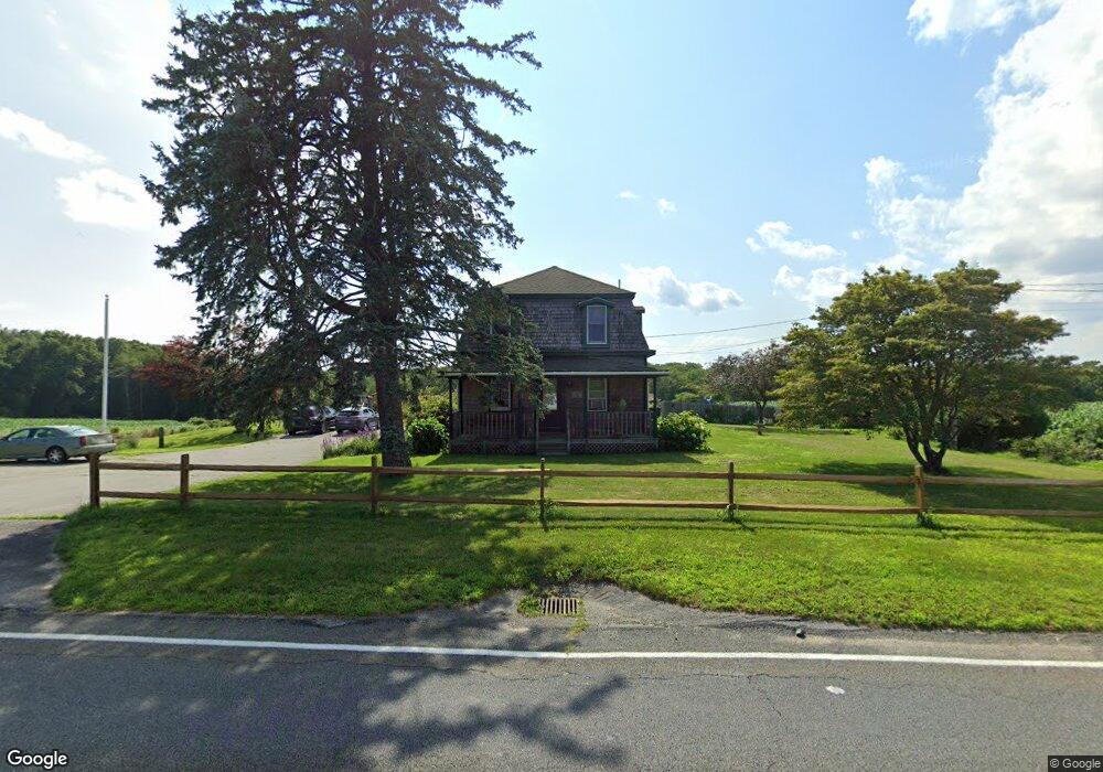
915 Sanford Rd Westport, MA 02790
North Westport NeighborhoodEstimated Value: $566,000 - $1,167,907
3
Beds
--
Bath
2,160
Sq Ft
$363/Sq Ft
Est. Value
About This Home
This home is located at 915 Sanford Rd, Westport, MA 02790 and is currently estimated at $784,727, approximately $363 per square foot. 915 Sanford Rd is a home located in Bristol County with nearby schools including Alice A. Macomber Primary School, Westport Elementary School, and Westport Middle-High School.
Ownership History
Date
Name
Owned For
Owner Type
Purchase Details
Closed on
Apr 26, 1999
Sold by
Sylvia Robert and Sylvia Lorena
Bought by
Bosse Raymond and Bosse Denise
Current Estimated Value
Home Financials for this Owner
Home Financials are based on the most recent Mortgage that was taken out on this home.
Original Mortgage
$50,000
Interest Rate
7.02%
Mortgage Type
Purchase Money Mortgage
Purchase Details
Closed on
Dec 30, 1994
Sold by
Sylvia Robert and Sylvia Lorena
Bought by
Majewski Jeffrey F and Gagnon Dawn L
Create a Home Valuation Report for This Property
The Home Valuation Report is an in-depth analysis detailing your home's value as well as a comparison with similar homes in the area
Home Values in the Area
Average Home Value in this Area
Purchase History
| Date | Buyer | Sale Price | Title Company |
|---|---|---|---|
| Bosse Raymond | $68,900 | -- | |
| Majewski Jeffrey F | $49,900 | -- |
Source: Public Records
Mortgage History
| Date | Status | Borrower | Loan Amount |
|---|---|---|---|
| Open | Majewski Jeffrey F | $27,000 | |
| Open | Majewski Jeffrey F | $75,000 | |
| Closed | Majewski Jeffrey F | $30,000 | |
| Closed | Majewski Jeffrey F | $50,000 |
Source: Public Records
Tax History Compared to Growth
Tax History
| Year | Tax Paid | Tax Assessment Tax Assessment Total Assessment is a certain percentage of the fair market value that is determined by local assessors to be the total taxable value of land and additions on the property. | Land | Improvement |
|---|---|---|---|---|
| 2025 | $6,097 | $818,400 | $610,000 | $208,400 |
| 2024 | $6,019 | $778,600 | $571,400 | $207,200 |
| 2023 | $5,999 | $735,200 | $539,000 | $196,200 |
| 2022 | $6,030 | $711,100 | $539,000 | $172,100 |
| 2021 | $5,675 | $658,300 | $477,500 | $180,800 |
| 2020 | $5,507 | $653,300 | $472,500 | $180,800 |
| 2019 | $5,407 | $653,800 | $472,500 | $181,300 |
| 2018 | $3,557 | $634,100 | $481,700 | $152,400 |
| 2017 | $4,996 | $626,800 | $477,900 | $148,900 |
| 2016 | $4,929 | $623,100 | $474,200 | $148,900 |
| 2015 | $4,582 | $577,800 | $424,700 | $153,100 |
Source: Public Records
Map
Nearby Homes
- 908 Sanford Rd
- 4 Bergeron Ln
- 4 Bergeron Ln
- 904 Sanford Rd
- 907 Sanford Rd
- 940 Sanford Rd
- 896 Sanford Rd
- 947 Sanford Rd
- 903 Sanford Rd
- 890 Sanford Rd
- 880 Sanford Rd
- 883 Sanford Rd
- 959 Sanford Rd
- 878 Sanford Rd
- 874 Sanford Rd
- 873 Sanford Rd
- 468 American Legion Hwy
- 448 American Legion Hwy
- 872 Sanford Rd
- 422 American Legion Hwy