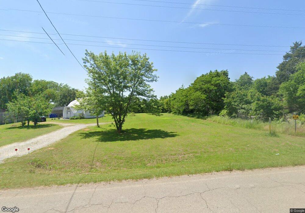
915 Silo Rd Durant, OK 74701
Estimated Value: $130,000 - $202,000
2
Beds
2
Baths
1,168
Sq Ft
$141/Sq Ft
Est. Value
About This Home
This home is located at 915 Silo Rd, Durant, OK 74701 and is currently estimated at $164,585, approximately $140 per square foot. 915 Silo Rd is a home located in Bryan County with nearby schools including Northwest Heights Elementary School, Durant Intermediate Elementary School, and Durant Middle School.
Ownership History
Date
Name
Owned For
Owner Type
Purchase Details
Closed on
Nov 29, 2019
Sold by
Burress Sally Jane Stevens and Mcfetridge James Kenneth
Bought by
Wright Aaron and Heppler Alexandria
Current Estimated Value
Home Financials for this Owner
Home Financials are based on the most recent Mortgage that was taken out on this home.
Original Mortgage
$114,141
Outstanding Balance
$100,415
Interest Rate
3.6%
Mortgage Type
New Conventional
Estimated Equity
$64,170
Purchase Details
Closed on
Sep 5, 1995
Sold by
Coxsey Sr Patrick P
Bought by
Coxsey, Patrick 95 Trust
Create a Home Valuation Report for This Property
The Home Valuation Report is an in-depth analysis detailing your home's value as well as a comparison with similar homes in the area
Purchase History
| Date | Buyer | Sale Price | Title Company |
|---|---|---|---|
| Wright Aaron | $113,000 | Fidelity National Title | |
| Coxsey, Patrick 95 Trust | -- | -- |
Source: Public Records
Mortgage History
| Date | Status | Borrower | Loan Amount |
|---|---|---|---|
| Open | Wright Aaron | $114,141 |
Source: Public Records
Tax History
| Year | Tax Paid | Tax Assessment Tax Assessment Total Assessment is a certain percentage of the fair market value that is determined by local assessors to be the total taxable value of land and additions on the property. | Land | Improvement |
|---|---|---|---|---|
| 2025 | $588 | $6,869 | $759 | $6,110 |
| 2024 | $554 | $6,542 | $759 | $5,783 |
| 2023 | $554 | $6,231 | $759 | $5,472 |
| 2022 | $503 | $5,934 | $759 | $5,175 |
| 2021 | $490 | $5,934 | $759 | $5,175 |
| 2020 | $493 | $5,934 | $759 | $5,175 |
| 2019 | $377 | $4,475 | $659 | $3,816 |
| 2018 | $361 | $4,262 | $664 | $3,598 |
| 2017 | $299 | $4,059 | $644 | $3,415 |
| 2016 | $398 | $5,405 | $497 | $4,908 |
| 2015 | $398 | $5,405 | $497 | $4,908 |
| 2014 | $386 | $5,248 | $340 | $4,908 |
Source: Public Records
Map
Nearby Homes
- 365 Tandy Walker Rd
- 559 E 4th St
- 83 Oak St
- 13 Oak St
- 491 E 2nd St
- 151 Belle Meade Rd
- 327 Wilson Pkwy
- 86 Wilson Pkwy
- 6063 Wilson St
- 379 Madison St
- 49 E 2nd St
- 1510 Remington West Cir
- 1900 Silo Rd
- 1296 Church Rd
- 7353 Wilson St
- 849 Springfield Ct
- 1002 Springfield Ct
- 5810 Benelli Blvd
- 849 Beretta Blvd
- 303 Rawlings Rd
Your Personal Tour Guide
Ask me questions while you tour the home.