915 Sperry Rd Cheshire, CT 06410
Estimated Value: $737,000 - $925,000
3
Beds
3
Baths
3,415
Sq Ft
$240/Sq Ft
Est. Value
About This Home
This home is located at 915 Sperry Rd, Cheshire, CT 06410 and is currently estimated at $819,089, approximately $239 per square foot. 915 Sperry Rd is a home located in New Haven County with nearby schools including Darcey School, Highland School, and Dodd Middle School.
Ownership History
Date
Name
Owned For
Owner Type
Purchase Details
Closed on
Feb 23, 2015
Sold by
Mccarthy Joseph
Bought by
Mccarthy Diana
Current Estimated Value
Purchase Details
Closed on
Oct 24, 2005
Sold by
Silverman Judith M and Silverman David
Bought by
Mccarthy Joseph P and Mccarthy Diana L
Home Financials for this Owner
Home Financials are based on the most recent Mortgage that was taken out on this home.
Original Mortgage
$400,000
Interest Rate
5.72%
Purchase Details
Closed on
Oct 5, 2005
Sold by
Silverman Judith M and Silverman David
Bought by
Mccarthy Joseph P and Mccarthy Diana L
Home Financials for this Owner
Home Financials are based on the most recent Mortgage that was taken out on this home.
Original Mortgage
$400,000
Interest Rate
5.72%
Create a Home Valuation Report for This Property
The Home Valuation Report is an in-depth analysis detailing your home's value as well as a comparison with similar homes in the area
Home Values in the Area
Average Home Value in this Area
Purchase History
| Date | Buyer | Sale Price | Title Company |
|---|---|---|---|
| Mccarthy Diana | -- | -- | |
| Mccarthy Diana | -- | -- | |
| Mccarthy Joseph P | $220,000 | -- | |
| Mccarthy Joseph P | $220,000 | -- | |
| Mccarthy Joseph P | $520,000 | -- | |
| Keegan Timothy D | $230,000 | -- | |
| Keegan Timothy D | $230,000 | -- |
Source: Public Records
Mortgage History
| Date | Status | Borrower | Loan Amount |
|---|---|---|---|
| Previous Owner | Keegan Timothy D | $400,000 |
Source: Public Records
Tax History Compared to Growth
Tax History
| Year | Tax Paid | Tax Assessment Tax Assessment Total Assessment is a certain percentage of the fair market value that is determined by local assessors to be the total taxable value of land and additions on the property. | Land | Improvement |
|---|---|---|---|---|
| 2025 | $12,630 | $424,690 | $95,830 | $328,860 |
| 2024 | $11,662 | $424,690 | $95,830 | $328,860 |
| 2023 | $10,594 | $301,910 | $95,830 | $206,080 |
| 2022 | $10,362 | $301,910 | $95,830 | $206,080 |
| 2021 | $10,180 | $301,910 | $95,830 | $206,080 |
| 2020 | $10,029 | $301,910 | $95,830 | $206,080 |
| 2019 | $10,029 | $301,910 | $95,830 | $206,080 |
| 2018 | $9,781 | $299,850 | $96,180 | $203,670 |
| 2017 | $9,577 | $299,850 | $96,180 | $203,670 |
| 2016 | $9,202 | $299,850 | $96,180 | $203,670 |
| 2015 | $9,202 | $299,850 | $96,180 | $203,670 |
| 2014 | $9,070 | $299,850 | $96,180 | $203,670 |
Source: Public Records
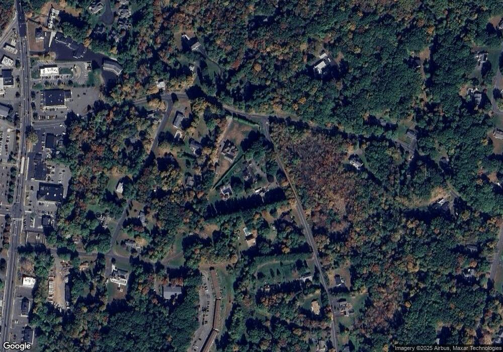
Map
Nearby Homes
- 4 Blueberry Place
- 488 Radmere Rd Unit B
- 30 Elmwood Dr
- 50 Heritage Dr
- 4 Soderman Way Unit 4
- 40 Southwick Ct Unit 201
- 40 Southwick Ct Unit 106
- 21 Hawthorne Dr
- 1213 Avon Blvd
- 4 Brookfield Ct
- 115 S Brooksvale Rd
- 164 S Brooksvale Rd
- 1325 Avon Blvd
- 1364 Avon Blvd
- 31 Iris Ct
- 23 Melrose Dr
- 8 Melrose Dr
- 6 Melrose Dr Unit Lot 10
- 9 Melrose Dr Unit 6
- 118 Harrison Rd
- 925 Sperry Rd
- 89 Jinny Hill Rd
- 87 Jinny Hill Rd
- 951 Sperry Rd
- 965 Sperry Rd
- 40 Jill Ln
- 20 Jill Ln
- 210 Mansion Rd
- 96 Jinny Hill Rd
- 975 Sperry Rd
- 100 Jill Ln
- 985 Sperry Rd
- 193 Mansion Rd Unit 177
- 193 Mansion Rd Unit 193
- 193 Mansion Rd
- 191 Mansion Rd Unit 191
- 191 Mansion Rd
- 189 Mansion Rd
- 187 Mansion Rd