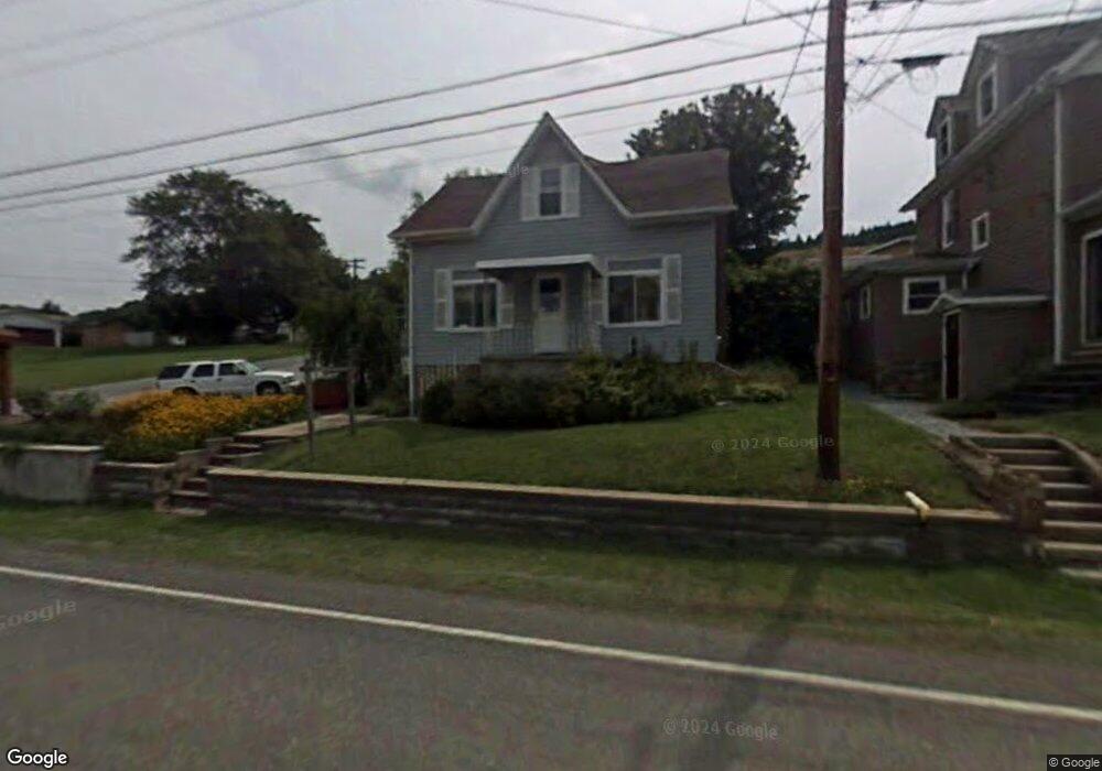
915 Whistler Rd Hooversville, PA 15936
Estimated Value: $77,000 - $109,000
4
Beds
1
Bath
1,824
Sq Ft
$53/Sq Ft
Est. Value
About This Home
This home is located at 915 Whistler Rd, Hooversville, PA 15936 and is currently estimated at $96,589, approximately $52 per square foot. 915 Whistler Rd is a home located in Somerset County with nearby schools including North Star Central Elementary School, North Star East Middle School, and North Star High School.
Ownership History
Date
Name
Owned For
Owner Type
Purchase Details
Closed on
Feb 26, 2014
Sold by
Terlingo John Patsy and Terlingo Anna Marie
Bought by
Stelle Chris L
Current Estimated Value
Home Financials for this Owner
Home Financials are based on the most recent Mortgage that was taken out on this home.
Original Mortgage
$38,320
Outstanding Balance
$29,023
Interest Rate
4.32%
Mortgage Type
New Conventional
Estimated Equity
$67,566
Create a Home Valuation Report for This Property
The Home Valuation Report is an in-depth analysis detailing your home's value as well as a comparison with similar homes in the area
Home Values in the Area
Average Home Value in this Area
Purchase History
| Date | Buyer | Sale Price | Title Company |
|---|---|---|---|
| Stelle Chris L | $47,900 | None Available |
Source: Public Records
Mortgage History
| Date | Status | Borrower | Loan Amount |
|---|---|---|---|
| Open | Stelle Chris L | $38,320 |
Source: Public Records
Tax History Compared to Growth
Tax History
| Year | Tax Paid | Tax Assessment Tax Assessment Total Assessment is a certain percentage of the fair market value that is determined by local assessors to be the total taxable value of land and additions on the property. | Land | Improvement |
|---|---|---|---|---|
| 2025 | $1,023 | $18,100 | $0 | $0 |
| 2024 | $1,023 | $18,100 | $0 | $0 |
| 2023 | $972 | $18,100 | $0 | $0 |
| 2022 | $942 | $18,100 | $0 | $0 |
| 2021 | $937 | $18,100 | $0 | $0 |
| 2020 | $919 | $18,100 | $0 | $0 |
| 2019 | $910 | $18,100 | $0 | $0 |
| 2018 | $890 | $18,100 | $3,610 | $14,490 |
| 2017 | $890 | $18,100 | $3,610 | $14,490 |
| 2016 | -- | $18,100 | $3,610 | $14,490 |
| 2015 | -- | $18,100 | $3,610 | $14,490 |
| 2014 | -- | $18,100 | $3,610 | $14,490 |
Source: Public Records
Map
Nearby Homes
- 300 Clark St
- 285 Sugar St
- 160 Church St
- 145 Water St
- 0 Railroad St
- 260 Hoover St
- 128 Ashbrook Rd
- 146 Back St
- 165 Back St
- 0 Ridge Rd Unit 96036692
- 5164 Lincoln Hwy
- 208 E Main St
- 640 W Main St
- 5667 Lincoln Hwy
- 194 Pheasant Rd
- 527 Sugar Maple Ave
- 153 Berkeys Ln
- 118 1st St
- 0 Fyock Dr Lot Unit WP001
- 0 Seanor Rd Lot Unit WP001