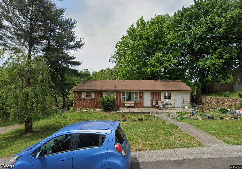
915 Wyndham Dr Vinton, VA 24179
Estimated Value: $198,000 - $237,000
3
Beds
1
Bath
1,690
Sq Ft
$129/Sq Ft
Est. Value
About This Home
This home is located at 915 Wyndham Dr, Vinton, VA 24179 and is currently estimated at $218,461, approximately $129 per square foot. 915 Wyndham Dr is a home located in Roanoke County with nearby schools including W.E. Cundiff Elementary School, William Byrd Middle School, and William Byrd High School.
Ownership History
Date
Name
Owned For
Owner Type
Purchase Details
Closed on
Sep 24, 2009
Sold by
Peters Carolyn S and Pohlman Carolyn S
Bought by
Blake Donald W and Blake Cara E
Current Estimated Value
Home Financials for this Owner
Home Financials are based on the most recent Mortgage that was taken out on this home.
Original Mortgage
$69,400
Outstanding Balance
$48,025
Interest Rate
6.37%
Mortgage Type
New Conventional
Estimated Equity
$170,436
Create a Home Valuation Report for This Property
The Home Valuation Report is an in-depth analysis detailing your home's value as well as a comparison with similar homes in the area
Home Values in the Area
Average Home Value in this Area
Purchase History
| Date | Buyer | Sale Price | Title Company |
|---|---|---|---|
| Blake Donald W | $78,000 | Acquisition Title & Settlent |
Source: Public Records
Mortgage History
| Date | Status | Borrower | Loan Amount |
|---|---|---|---|
| Open | Blake Donald W | $69,400 |
Source: Public Records
Tax History Compared to Growth
Tax History
| Year | Tax Paid | Tax Assessment Tax Assessment Total Assessment is a certain percentage of the fair market value that is determined by local assessors to be the total taxable value of land and additions on the property. | Land | Improvement |
|---|---|---|---|---|
| 2025 | $1,388 | $134,800 | $42,300 | $92,500 |
| 2024 | $1,290 | $124,000 | $38,700 | $85,300 |
| 2023 | $1,247 | $117,600 | $34,200 | $83,400 |
| 2022 | $1,139 | $104,500 | $30,600 | $73,900 |
| 2021 | $1,103 | $101,200 | $28,800 | $72,400 |
| 2020 | $1,038 | $95,200 | $26,100 | $69,100 |
| 2019 | $992 | $91,000 | $23,400 | $67,600 |
| 2018 | $970 | $90,100 | $23,400 | $66,700 |
| 2017 | $970 | $89,000 | $22,500 | $66,500 |
| 2016 | $961 | $88,200 | $22,500 | $65,700 |
| 2015 | $958 | $87,900 | $21,600 | $66,300 |
| 2014 | $962 | $88,300 | $21,600 | $66,700 |
Source: Public Records
Map
Nearby Homes
- 111 Southampton Dr
- 1029 Blakemore Cir
- 106 Southampton Dr
- 1038 Lauderdale Ave
- 646 E Augusta Ave
- 1012 Almond Dr
- 928 Shelbourne Ave
- 1009 Hardy Rd
- 1213 Hardy Rd
- 411 Raleigh Ave
- 518 Pine St
- TBD Chestnut St
- 0 Chestnut St
- 406 E Augusta Ave
- 535 Jefferson Ave
- 520 Chestnut St
- 425 Jefferson Ave
- 234 Raleigh Ave
- 1195 Fairmont Dr
- 0 Halifax Cir
- 901 Wyndham Dr
- 874 Lauderdale Ave
- 909 Norbourne Ave
- 880 Lauderdale Ave
- 825 Wyndham Dr
- 915 Norbourne Ave
- 908 Norbourne Ave
- 815 Wyndham Dr
- 871 Lauderdale Ave
- 918 Lauderdale Ave
- 914 Norbourne Ave
- 885 Lauderdale Ave
- 923 Norbourne Ave
- 905 Colbourne Ave
- 911 Lauderdale Ave
- 1014 Niagara Rd
- 924 Lauderdale Ave
- 911 Colbourne Ave
- 929 Norbourne Ave
- 917 Lauderdale Ave