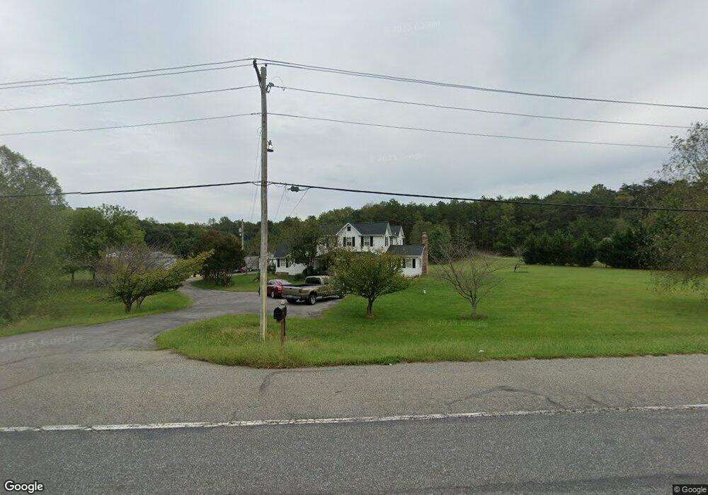
9150 Leonardtown Rd Hughesville, MD 20637
Estimated Value: $581,000 - $674,908
--
Bed
2
Baths
3,220
Sq Ft
$197/Sq Ft
Est. Value
About This Home
This home is located at 9150 Leonardtown Rd, Hughesville, MD 20637 and is currently estimated at $633,227, approximately $196 per square foot. 9150 Leonardtown Rd is a home located in Charles County with nearby schools including T.C. Martin Elementary School, John Hanson Middle School, and St. Charles High School.
Ownership History
Date
Name
Owned For
Owner Type
Purchase Details
Closed on
Sep 10, 2004
Sold by
N & W Investment Llc
Bought by
Colfack Vernon F L Adamson
Current Estimated Value
Purchase Details
Closed on
Dec 1, 2003
Sold by
N & W Investment Llc
Bought by
Smith Elizabeth A and Smith John Briscoe
Purchase Details
Closed on
Jul 5, 2001
Sold by
Drummond Kenneth H and Drummond Particia N
Bought by
N & W Investment Llc
Create a Home Valuation Report for This Property
The Home Valuation Report is an in-depth analysis detailing your home's value as well as a comparison with similar homes in the area
Home Values in the Area
Average Home Value in this Area
Purchase History
| Date | Buyer | Sale Price | Title Company |
|---|---|---|---|
| Colfack Vernon F L Adamson | $299,975 | -- | |
| Smith Elizabeth A | $104,900 | -- | |
| N & W Investment Llc | $384,000 | -- |
Source: Public Records
Mortgage History
| Date | Status | Borrower | Loan Amount |
|---|---|---|---|
| Closed | N & W Investment Llc | -- |
Source: Public Records
Tax History Compared to Growth
Tax History
| Year | Tax Paid | Tax Assessment Tax Assessment Total Assessment is a certain percentage of the fair market value that is determined by local assessors to be the total taxable value of land and additions on the property. | Land | Improvement |
|---|---|---|---|---|
| 2025 | $16,633 | $568,467 | -- | -- |
| 2024 | $7,328 | $527,433 | $0 | $0 |
| 2023 | $6,802 | $486,400 | $177,700 | $308,700 |
| 2022 | $6,124 | $440,100 | $0 | $0 |
| 2021 | $4,863 | $393,800 | $0 | $0 |
| 2020 | $4,863 | $347,500 | $157,700 | $189,800 |
| 2019 | $4,678 | $334,567 | $0 | $0 |
| 2018 | $4,465 | $321,633 | $0 | $0 |
| 2017 | $4,286 | $308,700 | $0 | $0 |
| 2016 | -- | $308,700 | $0 | $0 |
| 2015 | $4,543 | $308,700 | $0 | $0 |
| 2014 | $4,543 | $340,100 | $0 | $0 |
Source: Public Records
Map
Nearby Homes
- 7129 Langley Ct
- 0 Leonardtown & Herbert Rd Unit MDCH2037732
- 7421 Sugar Cane Ct
- 6864 Carrico Mill Rd
- 7124 Juliette Low Ln
- 0 Scout Camp Rd
- 15115 Oaks Rd
- 15204 Hughesville School Rd
- 38310 Pleasant View Dr
- 15275 Lukes Ln
- 15650 Cloverleaf Ct
- 0 Serenity Ln
- 15190 Prince Frederick Rd
- 8328 Old Leonardtown Rd
- 29805 Three Notch Rd
- 29850 Eldorado Farm Dr
- The Lancaster Plan at Underwood
- The Oxford Plan at Underwood
- The Somerset Plan at Underwood
- The Ashland Plan at Underwood
- 7108 Langley Ct
- 15515 Morning Mist Place
- 7112 Langley Ct
- 7109 Langley Ct
- 15325 Deborah Dr
- 9190 Leonardtown Rd
- 15300 Deborah Dr
- 15468 Westchester Dr
- 9145 Leonardtown Rd
- 7300 Denise Ln
- 15505 Morning Mist Place
- 7295 Denise Ln
- 15470 Westchester Dr
- 9300 Leonardtown Rd
- 9300 Leonardtown Rd Unit 1
- 9300 Leonardtown Rd
- 7113 Langley Ct
- 15467 Westchester Dr
- 15469 Westchester Dr
- 7310 Denise Ln