91503 Kellogg Ln Coos Bay, OR 97420
Estimated Value: $370,000 - $388,194
3
Beds
3
Baths
2,522
Sq Ft
$150/Sq Ft
Est. Value
About This Home
This home is located at 91503 Kellogg Ln, Coos Bay, OR 97420 and is currently estimated at $379,097, approximately $150 per square foot. 91503 Kellogg Ln is a home located in Coos County with nearby schools including Sunset School, Madison Elementary School, and Marshfield Senior High School.
Ownership History
Date
Name
Owned For
Owner Type
Purchase Details
Closed on
Oct 26, 2022
Sold by
Morgan Family Trust
Bought by
Morgan -Jeffrey Thomas and Morgan Tiffany Leight
Current Estimated Value
Purchase Details
Closed on
Mar 5, 2013
Sold by
Morgan Jeffry and Morgan Kathryn T
Bought by
Morgan Jeffrey T and Morgan Kathryn T
Purchase Details
Closed on
Nov 3, 2005
Sold by
Czerny Alexander and Czerny Carol M
Bought by
Morgan Jeffry and Morgan Kathryn T
Purchase Details
Closed on
Sep 29, 2005
Sold by
Wilson Kirk and Jacobson Jack
Bought by
Czerny Alexander and Czerny Carol M
Create a Home Valuation Report for This Property
The Home Valuation Report is an in-depth analysis detailing your home's value as well as a comparison with similar homes in the area
Home Values in the Area
Average Home Value in this Area
Purchase History
| Date | Buyer | Sale Price | Title Company |
|---|---|---|---|
| Morgan -Jeffrey Thomas | -- | -- | |
| Morgan Jeffrey T | -- | None Available | |
| Morgan Jeffry | $80,000 | Fidelity National Title Co | |
| Czerny Alexander | $130,000 | Fidelity National Title Co |
Source: Public Records
Tax History Compared to Growth
Tax History
| Year | Tax Paid | Tax Assessment Tax Assessment Total Assessment is a certain percentage of the fair market value that is determined by local assessors to be the total taxable value of land and additions on the property. | Land | Improvement |
|---|---|---|---|---|
| 2024 | $2,344 | $161,230 | -- | -- |
| 2023 | $2,252 | $156,540 | $0 | $0 |
| 2022 | $2,222 | $151,990 | $0 | $0 |
| 2021 | $2,028 | $147,570 | $0 | $0 |
| 2020 | $1,973 | $147,570 | $0 | $0 |
| 2019 | $1,890 | $139,110 | $0 | $0 |
| 2018 | $1,834 | $135,060 | $0 | $0 |
| 2017 | $1,575 | $131,130 | $0 | $0 |
| 2016 | $1,527 | $127,320 | $0 | $0 |
| 2015 | $1,411 | $123,620 | $0 | $0 |
| 2014 | $1,411 | $120,020 | $0 | $0 |
Source: Public Records
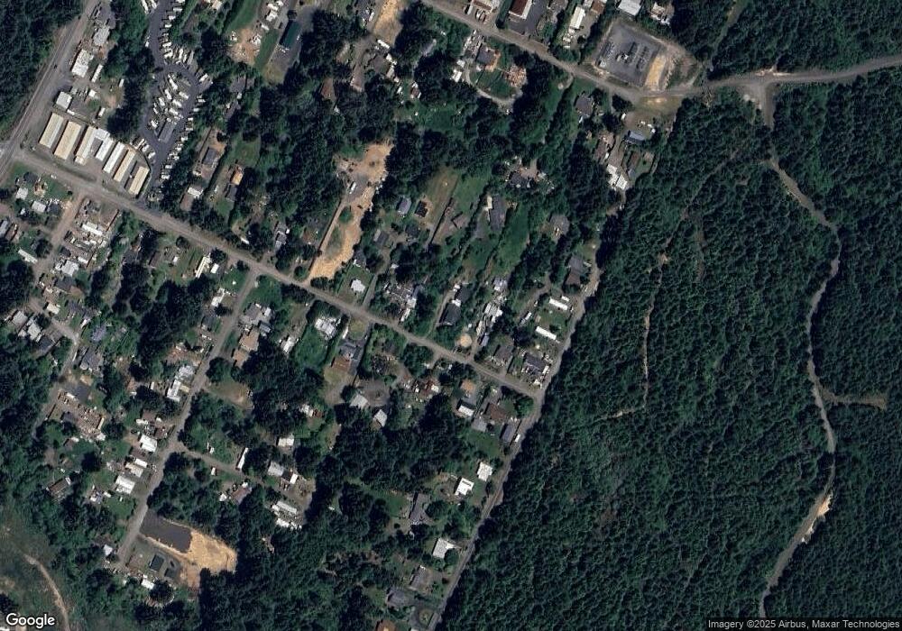
Map
Nearby Homes
- 91370 Kellogg Ln
- 92478 Cape Arago Hwy
- 64274 Saddler Rd
- 92252 Cape Arago Hwy
- 91323 Sandstone Ln Unit 418
- 91319 Grinnell Ln
- 91382 Grinnell Ln
- 64588 Cammann Rd
- 64184 Rail Rd
- 842 S Empire Blvd
- 817 S Empire Blvd
- 763 S Wasson St
- 740 S Cammann St
- 0 S Empire Blvd
- 649 S Wall St
- 0 Fulton Ave Unit 394328228
- 1124 Nautical Ct
- 1036 Plymouth Ave
- 536 S Marple St
- 588 Madison St
- 91517 Kellogg Ln
- 91489 Kellogg Ln
- 713 Kellogg Ln Unit 1
- 91527 Kellogg Ln
- 64413 Harmony Rd
- 91494 Kellogg Ln
- 64404 Harmony Rd
- 64406 Harmony Rd
- 91533 Kellogg Ln
- 91506 Kellogg Ln
- 64408 Penny Rd
- 91477 Kellogg Ln
- 64392 Harmony Rd
- 91528 Kellogg Ln
- 64426 Penny Rd
- 91482 Kellogg Ln
- 91461 Kellogg Ln
- 783 Kellogg Ln
- 64434 Penny Rd
- 91544 Spaw Ln