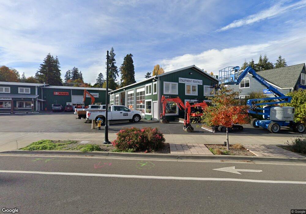
9153 Silverdale Silverdale, WA 98383
Estimated Value: $1,109,986
1
Bed
1
Bath
6,574
Sq Ft
$169/Sq Ft
Est. Value
About This Home
This home is located at 9153 Silverdale, Silverdale, WA 98383 and is currently estimated at $1,109,986, approximately $168 per square foot. 9153 Silverdale is a home located in Kitsap County with nearby schools including Silverdale Elementary School, Central Kitsap Middle School, and Central Kitsap High School.
Ownership History
Date
Name
Owned For
Owner Type
Purchase Details
Closed on
Nov 5, 2020
Sold by
Moore William H and Moore Teresa C
Bought by
Deerhaven Iv Llc
Current Estimated Value
Purchase Details
Closed on
Mar 27, 2000
Sold by
Louie Edward Ying Gat
Bought by
Moore William H and Catania Terri C
Home Financials for this Owner
Home Financials are based on the most recent Mortgage that was taken out on this home.
Original Mortgage
$226,698
Interest Rate
8.38%
Mortgage Type
Commercial
Create a Home Valuation Report for This Property
The Home Valuation Report is an in-depth analysis detailing your home's value as well as a comparison with similar homes in the area
Home Values in the Area
Average Home Value in this Area
Purchase History
| Date | Buyer | Sale Price | Title Company |
|---|---|---|---|
| Deerhaven Iv Llc | -- | None Available | |
| Moore William H | $275,000 | First American Title Ins |
Source: Public Records
Mortgage History
| Date | Status | Borrower | Loan Amount |
|---|---|---|---|
| Previous Owner | Moore William H | $226,698 |
Source: Public Records
Tax History Compared to Growth
Tax History
| Year | Tax Paid | Tax Assessment Tax Assessment Total Assessment is a certain percentage of the fair market value that is determined by local assessors to be the total taxable value of land and additions on the property. | Land | Improvement |
|---|---|---|---|---|
| 2026 | $6,633 | $651,370 | $311,260 | $340,110 |
| 2025 | $6,633 | $651,370 | $311,260 | $340,110 |
| 2024 | $6,454 | $651,370 | $311,260 | $340,110 |
| 2023 | $6,247 | $626,820 | $296,250 | $330,570 |
| 2022 | $6,973 | $626,820 | $296,250 | $330,570 |
| 2021 | $6,903 | $594,130 | $296,250 | $297,880 |
| 2020 | $6,364 | $553,010 | $296,250 | $256,760 |
| 2019 | $6,524 | $552,670 | $234,300 | $318,370 |
| 2018 | $6,218 | $416,470 | $387,590 | $28,880 |
| 2017 | $5,643 | $416,470 | $387,590 | $28,880 |
| 2016 | $6,013 | $413,913 | $337,210 | $76,703 |
| 2015 | $5,928 | $427,323 | $337,210 | $90,113 |
| 2014 | -- | $436,690 | $306,550 | $130,140 |
| 2013 | -- | $475,150 | $393,110 | $82,040 |
Source: Public Records
Map
Nearby Homes
- 1111 NW Lowell St
- 3658 NW Munson St
- 8755 Shore Place NW
- 9009 Martin Ave NW
- 8147 Knute Ln NW
- 0 NW Anderson Hill Rd Unit NWM2348272
- 8194 Silverdale Way NW
- 4460 NW Arriva Way
- 4931 Knute Anderson Rd NW
- 8702 Schoolway Place NW
- 4495 Newberry Ln NW
- 5021 NW Cedarside Loop
- 5052 NW Cedarside Loop
- 5053 NW Cedarside Loop
- 3761 NW Highland Ct
- 5044 NW Cedarside Loop
- 5077 NW Cedarside Loop
- 4844 NW Walgren Dr
- 12812 Jammer Place NW
- 8110 Lorie Ct NW
- 0 NW Lowell St
- 9080 Silverdale Way NW
- 8885 Silverdale Way NW
- 9082 Pacific Ave NW
- 3599 NW Carlton St
- 3562 NW Lowell St
- 3689 NW Munson St
- 9201 Silverdale Way NW
- 3699 NW Lowell St
- 3731 NW Munson St
- 8960 Rainier View Ln NW
- 3569 NW Lowell St
- 3542 NW Lowell St
- 3797 NW Munson St
- 3795 NW Munson St
- 3742 NW Lowell St
- 0 Munson St Unit 852211
- 0 Munson St Unit 479928
- 3531 NW Carlton St
- 9060 Erie Ave NW