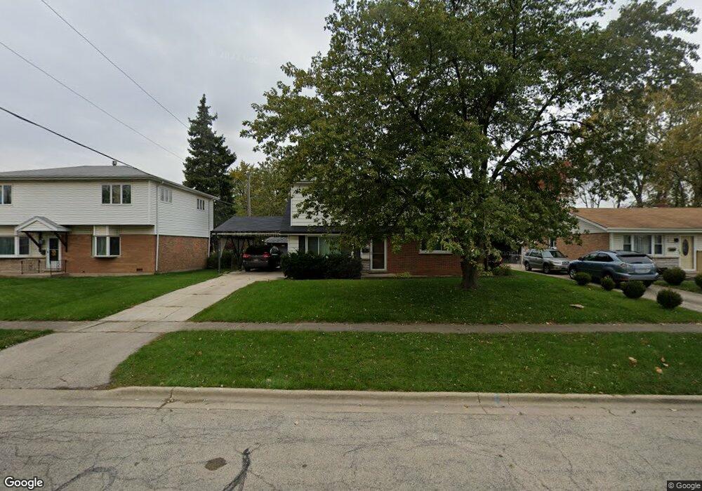
9154 Southfield Dr Bridgeview, IL 60455
Little Palestine NeighborhoodEstimated Value: $305,000 - $342,000
About This Home
This home is located at 9154 Southfield Dr, Bridgeview, IL 60455 and is currently estimated at $323,336, approximately $181 per square foot. 9154 Southfield Dr is a home located in Cook County with nearby schools including George W Lieb Elementary School, Simmons Middle School, and Oak Lawn Community High School.
Ownership History
We collect this data history from publicly available records. To have your information removed, we recommend requesting removal directly through your county’s website.
Purchase Details
Home Financials for this Owner
Home Financials are based on the most recent Mortgage that was taken out on this home.Home Values in the Area
Average Home Value in this Area
Purchase History
We collect this data history from publicly available records. To have your information removed, we recommend requesting removal directly through your county’s website.
| Date | Buyer | Sale Price | Title Company |
|---|---|---|---|
| $126,000 | -- |
Mortgage History
We collect this data history from publicly available records. To have your information removed, we recommend requesting removal directly through your county’s website.
| Date | Status | Borrower | Loan Amount |
|---|---|---|---|
| Open | $113,400 |
Tax History
We collect this data history from publicly available records. To have your information removed, we recommend requesting removal directly through your county’s website.
| Year | Tax Paid | Tax Assessment Tax Assessment Total Assessment is a certain percentage of the fair market value that is determined by local assessors to be the total taxable value of land and additions on the property. | Land | Improvement |
|---|---|---|---|---|
| 2025 | $7,321 | $25,000 | $4,410 | $20,590 |
| 2024 | $7,321 | $25,000 | $4,410 | $20,590 |
| 2023 | $6,012 | $25,000 | $4,410 | $20,590 |
| 2022 | $6,012 | $18,487 | $3,835 | $14,652 |
| 2021 | $5,880 | $18,487 | $3,835 | $14,652 |
| 2020 | $5,848 | $18,487 | $3,835 | $14,652 |
| 2019 | $5,270 | $17,241 | $3,451 | $13,790 |
| 2018 | $5,032 | $17,241 | $3,451 | $13,790 |
| 2017 | $5,835 | $19,496 | $3,451 | $16,045 |
| 2016 | $5,273 | $16,221 | $2,876 | $13,345 |
| 2015 | $4,984 | $16,221 | $2,876 | $13,345 |
| 2014 | $4,867 | $16,221 | $2,876 | $13,345 |
| 2013 | $5,057 | $18,393 | $2,876 | $15,517 |
Map
- 7118 Stanford Dr
- 7049 W 91st St
- 7117 W 93rd St Unit 105
- 7110 W 93rd Place Unit 3F
- 7110 W 93rd Place Unit PA
- 9338 Sayre Ave
- 9137 Orchard Ln
- 8949 Olympic Dr
- 6925 Elder Ct
- 6853 Saratoga Dr
- 9442 S Octavia Ave
- 7030 Saratoga Dr
- 9324 Thomas Ave
- 6939 W 95th Place
- 8719 Olympic Dr
- 8718 Cranbrook Ln
- 6625 W 91st Place
- 6716 W 89th Place
- 6709 W 88th Place
- 9654 Nottingham Ave Unit 1C
- 9148 Southfield Dr
- 9160 Southfield Dr
- 9138 Southfield Dr
- 7113 Oxford St
- 9130 Southfield Dr
- 7120 Dover St
- 9147 S Harlem Ave
- 7107 Oxford St
- 7133 Dover St
- 9124 Southfield Dr
- 7108 Oxford St
- 7125 Dover St
- 9131 S Harlem Ave
- 7133 Dover St
- 7110 Dover St
- 7101 Oxford St
- 9118 Southfield Dr
- 7107 Birch St
- 7119 Dover St
- 7100 Oxford St
Ask me questions while you tour the home.