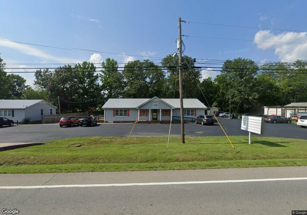
9158 Highway 70 E McEwen, TN 37101
Estimated Value: $694,782
Studio
6
Baths
3,329
Sq Ft
$209/Sq Ft
Est. Value
About This Home
This home is located at 9158 Highway 70 E, McEwen, TN 37101 and is currently estimated at $694,782, approximately $208 per square foot. 9158 Highway 70 E is a home located in Humphreys County with nearby schools including St. Patrick's School.
Ownership History
Date
Name
Owned For
Owner Type
Purchase Details
Closed on
Apr 25, 2022
Sold by
Diana Mullinicks Thelma
Bought by
Thelma Diana Mullinicks Revocable Living Trus
Current Estimated Value
Purchase Details
Closed on
Nov 1, 2016
Sold by
City Rentals Llc
Bought by
Ridings Mullinicks Thelma Diana
Purchase Details
Closed on
May 21, 2014
Sold by
Young Matthew D
Bought by
City Rentals Llc
Purchase Details
Closed on
Mar 31, 2003
Sold by
James Acree
Bought by
Young Matthew D
Purchase Details
Closed on
Dec 20, 1990
Bought by
Acree James and Acree Vicki
Purchase Details
Closed on
Feb 11, 1976
Bought by
Harber William A
Purchase Details
Closed on
Sep 24, 1941
Create a Home Valuation Report for This Property
The Home Valuation Report is an in-depth analysis detailing your home's value as well as a comparison with similar homes in the area
Purchase History
| Date | Buyer | Sale Price | Title Company |
|---|---|---|---|
| Thelma Diana Mullinicks Revocable Living Trus | -- | Equitus Law Alliance Pllc | |
| Ridings Mullinicks Thelma Diana | -- | -- | |
| City Rentals Llc | $280,000 | -- | |
| Young Matthew D | $450,000 | -- | |
| Acree James | $10,000 | -- | |
| Harber William A | -- | -- | |
| -- | -- | -- |
Source: Public Records
Tax History
| Year | Tax Paid | Tax Assessment Tax Assessment Total Assessment is a certain percentage of the fair market value that is determined by local assessors to be the total taxable value of land and additions on the property. | Land | Improvement |
|---|---|---|---|---|
| 2025 | $2,693 | $115,240 | $20,000 | $95,240 |
| 2024 | $2,418 | $115,240 | $20,000 | $95,240 |
| 2023 | $2,418 | $115,240 | $20,000 | $95,240 |
| 2022 | $2,608 | $101,080 | $20,200 | $80,880 |
| 2021 | $2,608 | $101,080 | $20,200 | $80,880 |
| 2020 | $2,608 | $101,080 | $20,200 | $80,880 |
| 2019 | $2,572 | $100,840 | $20,000 | $80,840 |
| 2018 | $2,572 | $100,840 | $20,000 | $80,840 |
| 2017 | $2,572 | $100,840 | $20,000 | $80,840 |
| 2016 | $3,608 | $129,720 | $19,840 | $109,880 |
| 2015 | $3,608 | $129,720 | $19,840 | $109,880 |
| 2014 | $3,607 | $129,703 | $0 | $0 |
Source: Public Records
Map
Nearby Homes
- 435 Long St W
- 141 Long St W
- 0 Curtis Chapel Rd Unit 8-9
- 905 Wilkie St
- 935 Wilkie St
- 135 Main St
- 131 Bold Springs Rd
- 62 High St E
- 58 Florence St
- 0 Ridge Rd
- 120 Pinethicket Rd
- 596 High St E
- 314 Melrose St
- 2250 Indian Creek Rd
- 69 College Ct
- 0 Ridgewood Dr Unit RTC3118676
- 0 Ridgewood Dr Unit 98
- 0 Ridgewood Dr Unit RTC3098533
- 0 Ridgewood Dr Unit RTC2791892
- 929 Wilkie St N
- 9158 Us Highway 70 E
- 9197 Us Highway 70 E
- 9103 Us Highway 70 E
- 9203 Us Highway 70 E
- 323 Saint Patrick St Unit 319
- 9063 Us Highway 70 E
- 9225 Us Highway 70 E
- 9250 Highway 70 E
- 295 Long St W
- 9251 Us Highway 70 E
- 48 Halpin St
- 243 Long St W
- 86 Halpin St
- 9025 Us Highway 70 E
- 306 Saint Patrick St
- 204 Long St W
- 93 Halpin St
- 330 Saint Patrick St
- 415 Long St W
- 260 Saint Patrick St
Your Personal Tour Guide
Ask me questions while you tour the home.