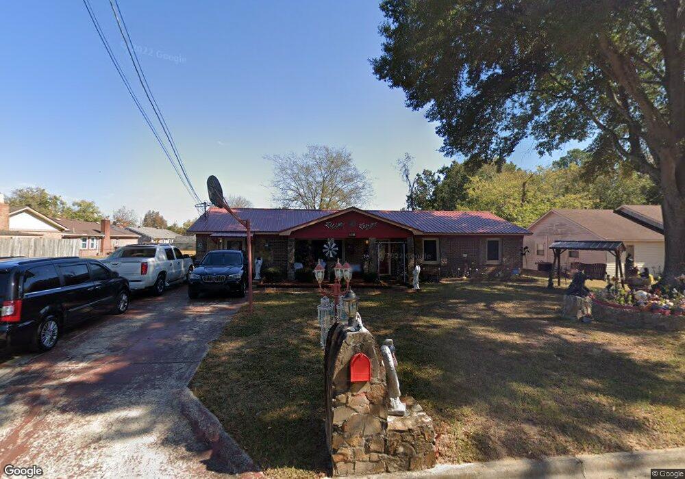
916 Bedford Dr SW Decatur, AL 35601
Westmead NeighborhoodEstimated Value: $118,000 - $193,000
--
Bed
--
Bath
1,691
Sq Ft
$90/Sq Ft
Est. Value
About This Home
This home is located at 916 Bedford Dr SW, Decatur, AL 35601 and is currently estimated at $152,681, approximately $90 per square foot. 916 Bedford Dr SW is a home located in Morgan County with nearby schools including Woodmeade Elementary School, Cedar Ridge Middle School, and Austin High School.
Ownership History
Date
Name
Owned For
Owner Type
Purchase Details
Closed on
Dec 3, 2020
Sold by
Gibson Willie and Austin Dorothy
Bought by
Austin Dorothy D and Gibson Willie
Current Estimated Value
Purchase Details
Closed on
May 27, 2008
Sold by
Sanders Bessie Lee and Sanders Percell
Bought by
Austin James P and Austin Dorothy D
Home Financials for this Owner
Home Financials are based on the most recent Mortgage that was taken out on this home.
Original Mortgage
$86,813
Interest Rate
5.86%
Mortgage Type
Purchase Money Mortgage
Create a Home Valuation Report for This Property
The Home Valuation Report is an in-depth analysis detailing your home's value as well as a comparison with similar homes in the area
Home Values in the Area
Average Home Value in this Area
Purchase History
| Date | Buyer | Sale Price | Title Company |
|---|---|---|---|
| Austin Dorothy D | -- | None Available | |
| Austin Dorothy D | $4,200 | None Listed On Document | |
| Austin James P | -- | None Available |
Source: Public Records
Mortgage History
| Date | Status | Borrower | Loan Amount |
|---|---|---|---|
| Previous Owner | Austin James P | $86,813 |
Source: Public Records
Tax History Compared to Growth
Tax History
| Year | Tax Paid | Tax Assessment Tax Assessment Total Assessment is a certain percentage of the fair market value that is determined by local assessors to be the total taxable value of land and additions on the property. | Land | Improvement |
|---|---|---|---|---|
| 2024 | $346 | $9,470 | $860 | $8,610 |
| 2023 | $346 | $9,470 | $860 | $8,610 |
| 2022 | $346 | $9,470 | $860 | $8,610 |
| 2021 | $318 | $8,050 | $860 | $7,190 |
| 2020 | $306 | $15,240 | $860 | $14,380 |
| 2019 | $306 | $7,800 | $0 | $0 |
| 2015 | $313 | $7,960 | $0 | $0 |
| 2014 | $313 | $7,960 | $0 | $0 |
| 2013 | -- | $8,160 | $0 | $0 |
Source: Public Records
Map
Nearby Homes
- 2013 Moulton Heights Rd SW
- 1918 Montgomery St SW
- 1101 Terrehaute Ave SW
- 1508 Faye St SW
- 1208 Terrehaute Ave SW
- 1617 Dandridge St SW
- 1011 14th Ave SW
- 1301 Terrehaute Ave SW
- 1218 Castleman Ave SW
- 2201 9th St
- 1902 Leeann St SW
- 1316 Terrehaute Ave SW
- 606 14th Ave SW
- 1929 Woodmead St SW
- 1922 Westmead St SW
- 1712 Vinca St SW
- 1609 Runnymead Ave SW
- 1611 Runnymead Ave SW
- 602 2nd St SW
- 1016 Moulton St E
- 918 Bedford Dr SW
- 908 Bedford Dr SW
- 906 Bedford Dr SW
- 913 Routon Dr SW
- 904 Bedford Dr SW
- 1906 Douthit St SW
- 911 Routon Dr SW
- 1904 Douthit St SW
- 917 Bedford Dr SW
- 915 Bedford Dr SW
- 919 Bedford Dr SW
- 1902 Douthit St SW
- 913 Bedford Dr SW
- 902 Bedford Dr SW
- 921 Bedford Dr SW
- 907 Bedford Dr SW
- 905 Bedford Dr SW
- 909 Bedford Dr SW
- 911 Bedford Dr SW
- 903 Bedford Dr SW