Estimated Value: $553,000 - $611,000
5
Beds
4
Baths
3,269
Sq Ft
$178/Sq Ft
Est. Value
About This Home
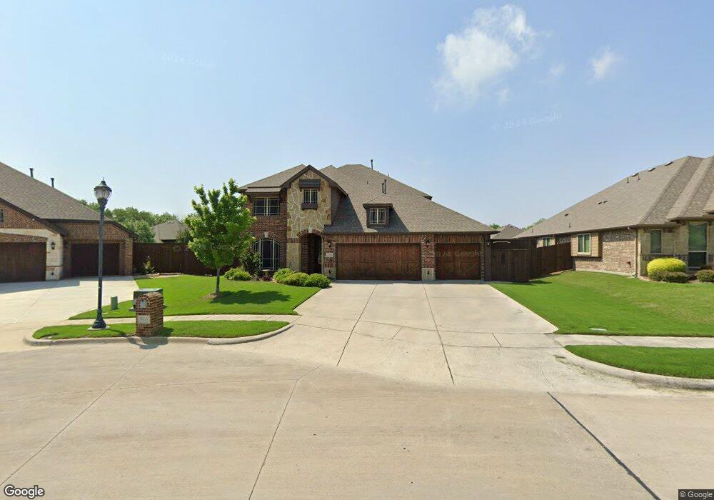
This home is located at 916 Birchwood Dr, Wylie, TX 75098 and is currently estimated at $582,658, approximately $178 per square foot. 916 Birchwood Dr is a home located in Collin County with nearby schools including P M Akin Elementary School, AB Harrison Intermediate School, and Grady Burnett J High School.
Ownership History
Date
Name
Owned For
Owner Type
Purchase Details
Closed on
Feb 24, 2017
Sold by
Bloomfield Homes Lp
Bought by
Bonner Kristal E and Bonner Shawn D
Current Estimated Value
Home Financials for this Owner
Home Financials are based on the most recent Mortgage that was taken out on this home.
Original Mortgage
$357,564
Outstanding Balance
$296,098
Interest Rate
4.12%
Mortgage Type
New Conventional
Estimated Equity
$286,560
Create a Home Valuation Report for This Property
The Home Valuation Report is an in-depth analysis detailing your home's value as well as a comparison with similar homes in the area
Home Values in the Area
Average Home Value in this Area
Purchase History
| Date | Buyer | Sale Price | Title Company |
|---|---|---|---|
| Bonner Kristal E | -- | None Available |
Source: Public Records
Mortgage History
| Date | Status | Borrower | Loan Amount |
|---|---|---|---|
| Open | Bonner Kristal E | $357,564 |
Source: Public Records
Tax History Compared to Growth
Tax History
| Year | Tax Paid | Tax Assessment Tax Assessment Total Assessment is a certain percentage of the fair market value that is determined by local assessors to be the total taxable value of land and additions on the property. | Land | Improvement |
|---|---|---|---|---|
| 2025 | $9,245 | $579,910 | $136,500 | $443,410 |
| 2024 | $9,245 | $536,393 | $136,500 | $448,607 |
| 2023 | $9,245 | $487,630 | $115,500 | $453,500 |
| 2022 | $9,726 | $443,300 | $115,500 | $395,862 |
| 2021 | $9,482 | $403,000 | $84,000 | $319,000 |
| 2020 | $9,866 | $397,330 | $84,000 | $313,330 |
| 2019 | $10,816 | $411,596 | $84,000 | $327,596 |
| 2018 | $10,593 | $393,342 | $84,000 | $309,342 |
| 2017 | $4,920 | $182,699 | $66,360 | $116,339 |
| 2016 | $1,537 | $55,320 | $55,320 | $0 |
Source: Public Records
Map
Nearby Homes
- 304 Hawthorn Dr
- 310 Hawthorn Dr
- 114 Liberty Dr
- 207 Spence Dr
- 409 Cedar Ridge Dr
- 213 N West A Allen Blvd
- 216 Cedar Ridge St
- 104 Rushcreek Dr
- 825 Foxwood Ln
- 1056 Fairview Dr
- 820 Foxwood Ln
- 104 N 5th St
- 1209 Surrey Cir
- 825 Forest Edge Ln
- 811 Forest Edge Ln
- 107 Windy Knoll Ln
- 306 Foxwood Ct
- 306 Woodhollow Ct
- 300 Woodhollow Ct
- 1022 Debby Ct
- 914 Birchwood Dr
- 300 Hawthorn Dr
- 917 Redwood Ct
- 919 Redwood Ct
- 915 Redwood Ct
- 912 Birchwood Dr
- 302 Hawthorn Dr
- 303 Birchwood Dr
- 921 Redwood Ct
- 913 Redwood Ct
- 910 Birchwood Dr
- 915 Birchwood Dr
- 911 Redwood Ct
- 305 Hawthorn Dr
- 306 Hawthorn Dr
- 913 Birchwood Dr
- 908 Birchwood Dr
- 914 Redwood Ct
- 916 Redwood Ct
- 909 Redwood Ct