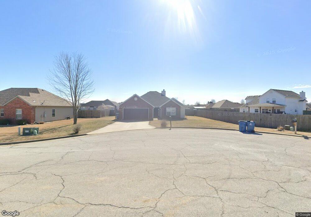
916 Monroe Cir Carl Junction, MO 64834
Estimated Value: $234,757 - $315,000
3
Beds
2
Baths
1,661
Sq Ft
$160/Sq Ft
Est. Value
About This Home
This home is located at 916 Monroe Cir, Carl Junction, MO 64834 and is currently estimated at $265,689, approximately $159 per square foot. 916 Monroe Cir is a home located in Jasper County with nearby schools including Carl Junction Primary School (K-1), Carl Junction Intermediate School, and Carl Junction Primary School (2-3).
Ownership History
Date
Name
Owned For
Owner Type
Purchase Details
Closed on
Jul 10, 2009
Sold by
Red Wood Development Of Kansas Inc
Bought by
Cheney Frank and Cheney Deidra
Current Estimated Value
Home Financials for this Owner
Home Financials are based on the most recent Mortgage that was taken out on this home.
Original Mortgage
$137,362
Outstanding Balance
$89,649
Interest Rate
5.39%
Mortgage Type
FHA
Estimated Equity
$176,040
Create a Home Valuation Report for This Property
The Home Valuation Report is an in-depth analysis detailing your home's value as well as a comparison with similar homes in the area
Purchase History
| Date | Buyer | Sale Price | Title Company |
|---|---|---|---|
| Cheney Frank | -- | Jct |
Source: Public Records
Mortgage History
| Date | Status | Borrower | Loan Amount |
|---|---|---|---|
| Open | Cheney Frank | $137,362 |
Source: Public Records
Tax History
| Year | Tax Paid | Tax Assessment Tax Assessment Total Assessment is a certain percentage of the fair market value that is determined by local assessors to be the total taxable value of land and additions on the property. | Land | Improvement |
|---|---|---|---|---|
| 2025 | $1,372 | $26,480 | $2,310 | $24,170 |
| 2024 | $1,380 | $23,440 | $2,310 | $21,130 |
| 2023 | $1,380 | $23,440 | $2,310 | $21,130 |
| 2022 | $1,426 | $24,160 | $2,310 | $21,850 |
| 2021 | $1,224 | $24,160 | $2,310 | $21,850 |
| 2020 | $1,144 | $22,200 | $2,310 | $19,890 |
| 2019 | $1,086 | $22,200 | $2,310 | $19,890 |
| 2018 | $1,129 | $23,140 | $0 | $0 |
| 2017 | $1,132 | $23,140 | $0 | $0 |
| 2016 | $1,167 | $24,070 | $0 | $0 |
Source: Public Records
Map
Nearby Homes
- 904 Larson St
- TBD Route Yy
- 29320 State Highway Yy
- 29250 State Highway Yy
- Tract 3 Prairie Ln
- Tract 2 Prairie Ln
- Tract 1 Prairie Ln
- Tract 4 Prairie Ln
- 711 Prairie Ln
- 817 Delaney Dr
- 9129 Cr-290
- 505 N Broadway Ave
- 809 Aberdeen Ave
- 901 Aberdeen Ave
- 106 S Roney St
- 509 W Gault St
- 29865 State Highway Yy
- 304 Belgian Blue Blvd
- 804 Aberdeen Ave
- 806 Aberdeen Ave
Your Personal Tour Guide
Ask me questions while you tour the home.