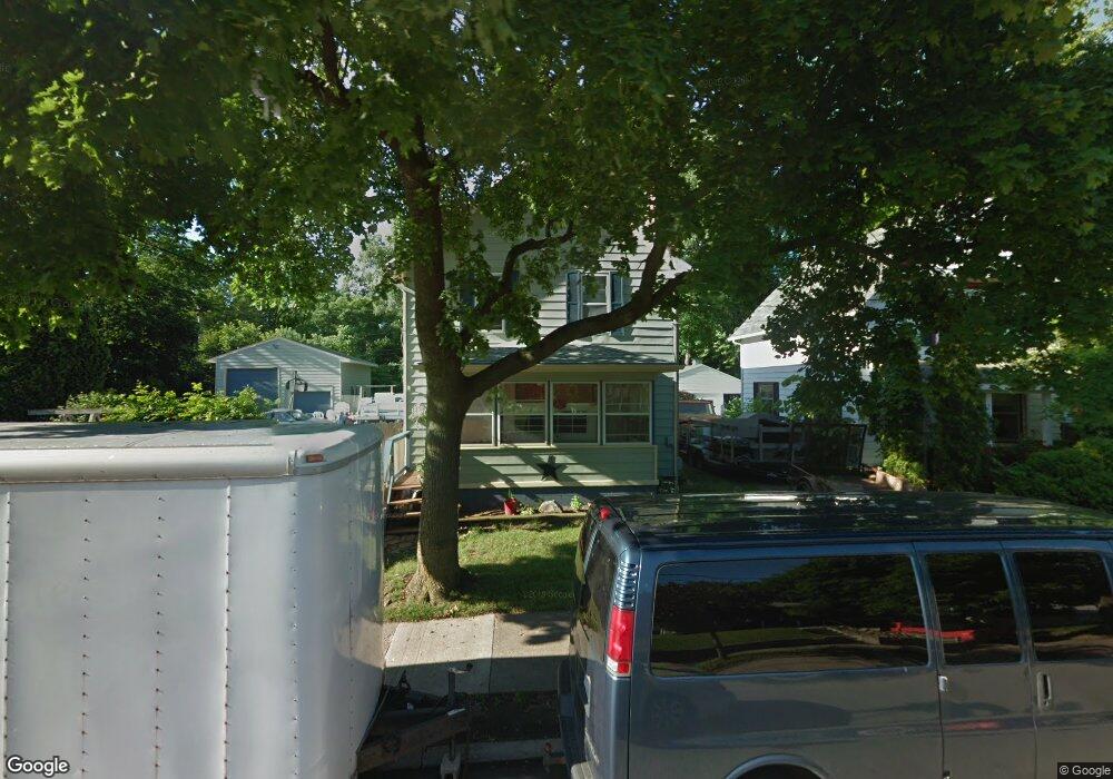
916 Motor Ave Lansing, MI 48910
Fabulous Acres NeighborhoodEstimated Value: $144,000 - $189,000
Studio
--
Bath
1,540
Sq Ft
$107/Sq Ft
Est. Value
About This Home
This home is located at 916 Motor Ave, Lansing, MI 48910 and is currently estimated at $164,412, approximately $106 per square foot. 916 Motor Ave is a home located in Ingham County with nearby schools including Lyons Elementary School, Pattengill Academy, and Eastern High School.
Ownership History
Date
Name
Owned For
Owner Type
Purchase Details
Closed on
Mar 14, 2005
Sold by
Cross William T and Cross Melissa G
Bought by
Mcnamara Sally J
Current Estimated Value
Home Financials for this Owner
Home Financials are based on the most recent Mortgage that was taken out on this home.
Original Mortgage
$112,000
Outstanding Balance
$56,781
Interest Rate
5.61%
Mortgage Type
Stand Alone First
Estimated Equity
$107,631
Purchase Details
Closed on
May 30, 2001
Sold by
Shepard Donald J and Shepard Nancy C
Bought by
Cross William T and Cross Melissa G
Home Financials for this Owner
Home Financials are based on the most recent Mortgage that was taken out on this home.
Original Mortgage
$95,400
Interest Rate
10.34%
Mortgage Type
Purchase Money Mortgage
Purchase Details
Closed on
Dec 1, 1994
Create a Home Valuation Report for This Property
The Home Valuation Report is an in-depth analysis detailing your home's value as well as a comparison with similar homes in the area
Home Values in the Area
Average Home Value in this Area
Purchase History
| Date | Buyer | Sale Price | Title Company |
|---|---|---|---|
| Mcnamara Sally J | $140,000 | -- | |
| Cross William T | -- | -- | |
| -- | $45,000 | -- |
Source: Public Records
Mortgage History
| Date | Status | Borrower | Loan Amount |
|---|---|---|---|
| Open | Mcnamara Sally J | $112,000 | |
| Previous Owner | Cross William T | $95,400 |
Source: Public Records
Tax History
| Year | Tax Paid | Tax Assessment Tax Assessment Total Assessment is a certain percentage of the fair market value that is determined by local assessors to be the total taxable value of land and additions on the property. | Land | Improvement |
|---|---|---|---|---|
| 2025 | $3,396 | $77,800 | $7,500 | $70,300 |
| 2024 | $28 | $60,200 | $7,500 | $52,700 |
| 2023 | $3,196 | $54,000 | $7,500 | $46,500 |
| 2022 | $2,916 | $50,100 | $6,300 | $43,800 |
| 2021 | $2,849 | $45,800 | $6,100 | $39,700 |
| 2020 | $2,829 | $42,400 | $6,100 | $36,300 |
| 2019 | $2,734 | $38,800 | $6,100 | $32,700 |
| 2018 | $2,592 | $33,800 | $6,100 | $27,700 |
| 2017 | $2,495 | $33,800 | $6,100 | $27,700 |
| 2016 | $2,418 | $33,200 | $6,100 | $27,100 |
| 2015 | $2,418 | $32,500 | $12,128 | $20,372 |
| 2014 | $2,418 | $32,300 | $9,330 | $22,970 |
Source: Public Records
Map
Nearby Homes
- 1437 Ada St
- 1423 Pontiac St
- 1601 Bailey St
- 1731 Lyons Ave
- 1501 Shubel Ave
- 1535 Linval St
- 616 Isbell St
- 1515 Linval St
- 534 Isbell St
- 506 Christiancy St
- 704 Mckim Ave
- 2201 S Pennsylvania Ave
- 2118 Roberts Ln
- 1731 Herbert St
- 2215 Alpha St
- 1134 S Holmes St
- 2309 S Pennsylvania Ave
- 0 E Mount Hope Ave
- 315 E Mount Hope Ave
- 147 Isbell St
- 922 Motor Ave
- 912 Motor Ave
- 1603 Donora St
- 1600 S Pennsylvania Ave
- 1613 Donora St
- 1605 Donora St
- 1610 S Pennsylvania Ave
- 1606 S Pennsylvania Ave
- 1542 S Pennsylvania Ave
- 1609 Donora St
- 1617 Donora St
- 1601 Donora St
- 919 Motor Ave
- 921 Motor Ave
- 1612 S Pennsylvania Ave
- 1621 Donora St
- 913 Motor Ave
- 1534 S Pennsylvania Ave
- 1535 Donora St
- 1612 So Penn
Your Personal Tour Guide
Ask me questions while you tour the home.