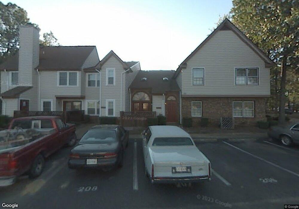
916 St Andrews Reach Unit A Chesapeake, VA 23320
Greenbrier East NeighborhoodEstimated Value: $230,000 - $250,131
2
Beds
2
Baths
1,272
Sq Ft
$185/Sq Ft
Est. Value
About This Home
This home is located at 916 St Andrews Reach Unit A, Chesapeake, VA 23320 and is currently estimated at $235,533, approximately $185 per square foot. 916 St Andrews Reach Unit A is a home located in Chesapeake City with nearby schools including Greenbrier Primary School, Greenbrier Intermediate School, and Greenbrier Middle.
Ownership History
Date
Name
Owned For
Owner Type
Purchase Details
Closed on
Feb 14, 2018
Sold by
Virginia Housing Development Authority A
Bought by
Insley Ii Charles M and Insley Charles M
Current Estimated Value
Purchase Details
Closed on
Dec 8, 2017
Sold by
Evans and Profession Plc A Virginia Profession
Bought by
Virginia Housing Development Authority A
Purchase Details
Closed on
Sep 18, 2007
Sold by
Belesimo Thomas R
Bought by
Masse Cecile T
Home Financials for this Owner
Home Financials are based on the most recent Mortgage that was taken out on this home.
Original Mortgage
$184,900
Interest Rate
6.41%
Mortgage Type
New Conventional
Create a Home Valuation Report for This Property
The Home Valuation Report is an in-depth analysis detailing your home's value as well as a comparison with similar homes in the area
Home Values in the Area
Average Home Value in this Area
Purchase History
| Date | Buyer | Sale Price | Title Company |
|---|---|---|---|
| Insley Ii Charles M | $128,000 | Titlequest | |
| Virginia Housing Development Authority A | $119,000 | None Available | |
| Masse Cecile T | $184,900 | -- |
Source: Public Records
Mortgage History
| Date | Status | Borrower | Loan Amount |
|---|---|---|---|
| Previous Owner | Masse Cecile T | $184,900 |
Source: Public Records
Tax History Compared to Growth
Tax History
| Year | Tax Paid | Tax Assessment Tax Assessment Total Assessment is a certain percentage of the fair market value that is determined by local assessors to be the total taxable value of land and additions on the property. | Land | Improvement |
|---|---|---|---|---|
| 2025 | $1,994 | $222,300 | $80,000 | $142,300 |
| 2024 | $1,994 | $197,400 | $75,000 | $122,400 |
| 2023 | $1,777 | $175,900 | $60,000 | $115,900 |
| 2022 | $1,708 | $169,100 | $50,000 | $119,100 |
| 2021 | $1,578 | $150,300 | $45,000 | $105,300 |
| 2020 | $1,512 | $148,700 | $45,000 | $103,700 |
| 2019 | $1,512 | $144,000 | $45,000 | $99,000 |
| 2018 | $1,310 | $124,800 | $35,000 | $89,800 |
| 2017 | $1,439 | $137,000 | $40,000 | $97,000 |
| 2016 | $1,310 | $124,800 | $35,000 | $89,800 |
| 2015 | $1,310 | $124,800 | $35,000 | $89,800 |
| 2014 | $1,310 | $124,800 | $35,000 | $89,800 |
Source: Public Records
Map
Nearby Homes
- 952 Saint Andrews Reach Unit A
- 1009 Saint Andrews Way Unit B
- 929 Still Harbor Cir
- 1023 Winged Foot Ct Unit A
- 934 Shoal Creek Trail Unit B
- 1313 Quail Creek Hollow Unit B
- 923 Captains Ct
- 919 Captains Ct
- 1219 Fairway Dr
- 1108 Mill Lake Quarter
- 833 Copper Stone Cir
- 1244 Mill Lake Quarter
- 1244 Quarter Path Trail
- 1407 Otterbourne Quay
- 1423 Otterbourne Cir
- 1038 Copper Stone Cir
- 1406 Otterbourne Ct
- 1468 Otterbourne Cir
- 1307 Emsworth Dr
- 824 Cranston Dr
- 916 Saint Andrews Reach Unit A
- 916 Saint Andrews Reach Unit 916
- 916 Saint Andrews Reach
- 916 Saint Andrews Reach
- 916 Saint Andrews Reach
- 916 Saint Andrews Reach
- 916 Saint Andrews Reach Unit D
- 916 Saint Andrews Reach Unit B
- 916 St Andrews Reach Unit B
- 920 Saint Andrews Reach
- 920 Saint Andrews Reach Unit A
- 920 Saint Andrews Reach
- 920 Saint Andrews Reach
- 920 Saint Andrews Reach
- 920 Saint Andrews Reach
- 920 Saint Andrews Reach Unit D
- 920A Saint Andrews Reach
- 920 Saint Andrews Reach Unit C
- 920 Saint Andrews Unit D
- 901 Saint Andrews Reach