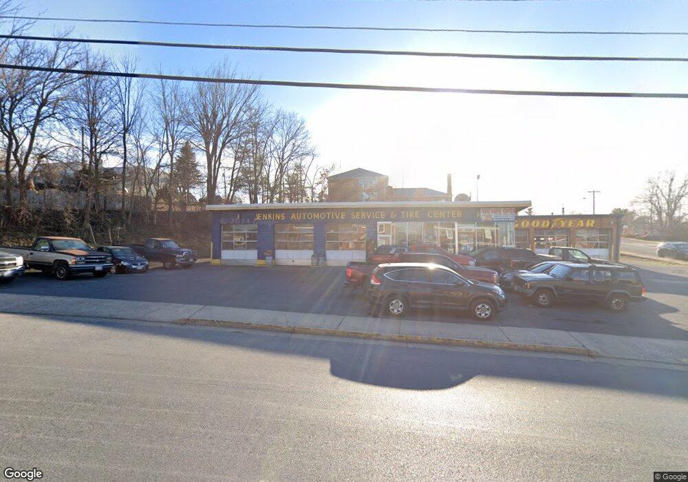
916 W Main St Waynesboro, VA 22980
Estimated Value: $375,525
--
Bed
--
Bath
7,417
Sq Ft
$51/Sq Ft
Est. Value
About This Home
This home is located at 916 W Main St, Waynesboro, VA 22980 and is currently estimated at $375,525, approximately $50 per square foot. 916 W Main St is a home located in Waynesboro City with nearby schools including Berkeley Glenn Elementary School, Kate Collins Middle School, and Waynesboro High School.
Ownership History
Date
Name
Owned For
Owner Type
Purchase Details
Closed on
Feb 5, 2007
Sold by
Phillips Sandra R
Bought by
Shuler Land Company Llc
Current Estimated Value
Home Financials for this Owner
Home Financials are based on the most recent Mortgage that was taken out on this home.
Original Mortgage
$212,500
Outstanding Balance
$127,278
Interest Rate
6.16%
Mortgage Type
Land Contract Argmt. Of Sale
Estimated Equity
$248,247
Create a Home Valuation Report for This Property
The Home Valuation Report is an in-depth analysis detailing your home's value as well as a comparison with similar homes in the area
Home Values in the Area
Average Home Value in this Area
Purchase History
| Date | Buyer | Sale Price | Title Company |
|---|---|---|---|
| Shuler Land Company Llc | $250,000 | -- |
Source: Public Records
Mortgage History
| Date | Status | Borrower | Loan Amount |
|---|---|---|---|
| Open | Shuler Land Company Llc | $212,500 |
Source: Public Records
Tax History Compared to Growth
Tax History
| Year | Tax Paid | Tax Assessment Tax Assessment Total Assessment is a certain percentage of the fair market value that is determined by local assessors to be the total taxable value of land and additions on the property. | Land | Improvement |
|---|---|---|---|---|
| 2025 | $3,124 | $381,000 | $270,800 | $110,200 |
| 2024 | $2,709 | $351,800 | $253,600 | $98,200 |
| 2023 | $2,709 | $351,800 | $253,600 | $98,200 |
| 2022 | $2,935 | $326,100 | $241,300 | $84,800 |
| 2021 | $2,935 | $326,100 | $241,300 | $84,800 |
| 2020 | $2,867 | $318,600 | $236,400 | $82,200 |
| 2019 | $2,867 | $318,600 | $236,400 | $82,200 |
| 2018 | $2,867 | $318,600 | $236,400 | $82,200 |
| 2017 | $2,772 | $318,600 | $236,400 | $82,200 |
| 2016 | $2,549 | $318,600 | $236,400 | $82,200 |
| 2015 | $2,549 | $318,600 | $236,400 | $82,200 |
| 2014 | -- | $318,400 | $236,400 | $82,000 |
| 2013 | -- | $0 | $0 | $0 |
Source: Public Records
Map
Nearby Homes
- 1013 Ohio St
- 1215 W 12th St
- 106 Henry Ave
- 548 Pine Ave
- 477 Chestnut Ave
- 373 S Magnolia Ave
- 1305 13th St
- 645 Maple Ave
- 314 13th St
- 222 James Ave
- 252 Port Republic Rd
- 529 S Linden Ave
- 124 Loudoun Ave
- 705 Oak Ave
- LOT 2 Port Republic Rd
- 222 King Ave
- 528 Arch Ave
- 842 Maple Ave
- 1637 Mulberry St
- 233 Camden Dr
- 908 W Main St
- 1000 W Main St
- 925 W Main St
- 925 W Main St Unit SuiteB
- 925 W Main St
- 901 W 11th St
- 902 W Main St
- 902 W Main St Unit 3
- 1008 W Main St
- 919 W Main St
- 909 W Main St
- 927 W Main St
- 1012 W Main St
- 815 W 11th St
- 920 Alexander Ln
- 1007 W Main St
- 1009 W Main St
- 807 W Main St
- 800 W Main St
- 205 Maple Ave