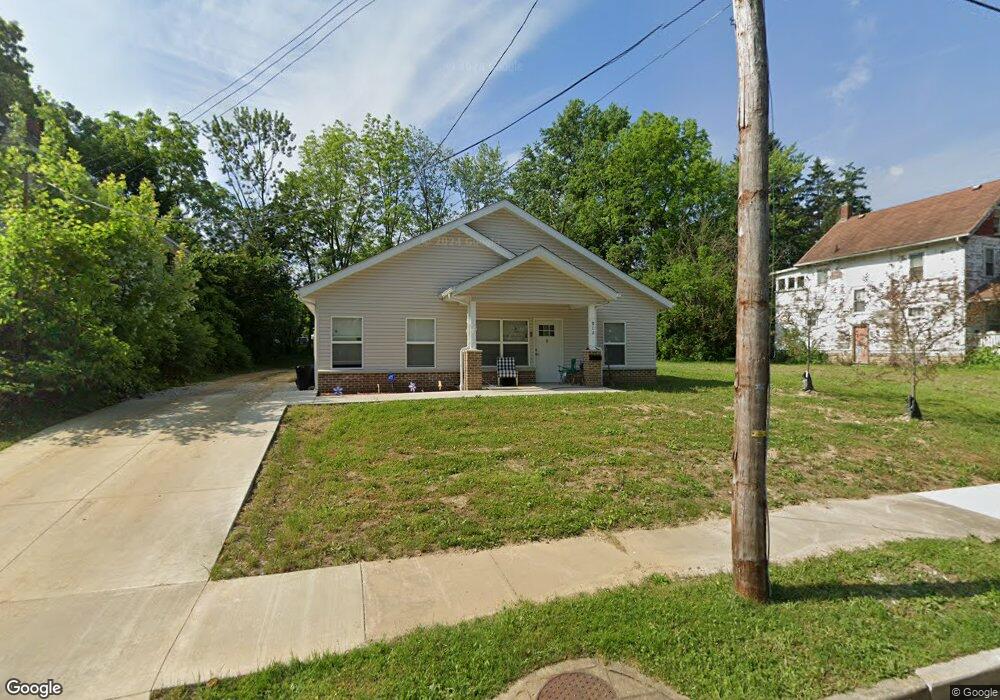
916 Work Dr Akron, OH 44320
West Akron NeighborhoodEstimated Value: $38,000
4
Beds
1
Bath
1,634
Sq Ft
$23/Sq Ft
Est. Value
About This Home
This home is located at 916 Work Dr, Akron, OH 44320 and is currently priced at $38,000, approximately $23 per square foot. 916 Work Dr is a home located in Summit County with nearby schools including Summit Academy School, Towpath Trail High School, and Julie Billiart School Akron.
Ownership History
Date
Name
Owned For
Owner Type
Purchase Details
Closed on
Mar 22, 2017
Sold by
Sheriff Steven Barry
Bought by
The Summmit County Land Re
Current Estimated Value
Purchase Details
Closed on
Feb 5, 2008
Sold by
Wells Fargo Bank Na
Bought by
Tatum Rodney S
Purchase Details
Closed on
Apr 5, 2007
Sold by
Essick Shirley
Bought by
Wells Fargo Bank Na and Asset Backed Securities Corp Home Equity
Purchase Details
Closed on
Nov 26, 1996
Sold by
Mirman Jerome R
Bought by
Essick Shirley
Home Financials for this Owner
Home Financials are based on the most recent Mortgage that was taken out on this home.
Original Mortgage
$26,250
Interest Rate
7.94%
Mortgage Type
New Conventional
Create a Home Valuation Report for This Property
The Home Valuation Report is an in-depth analysis detailing your home's value as well as a comparison with similar homes in the area
Home Values in the Area
Average Home Value in this Area
Purchase History
| Date | Buyer | Sale Price | Title Company |
|---|---|---|---|
| The Summmit County Land Re | -- | None Available | |
| Tatum Rodney S | $10,000 | Accutitle Agency Inc | |
| Wells Fargo Bank Na | $36,000 | None Available | |
| Essick Shirley | $25,000 | -- |
Source: Public Records
Mortgage History
| Date | Status | Borrower | Loan Amount |
|---|---|---|---|
| Previous Owner | Essick Shirley | $26,250 |
Source: Public Records
Tax History
| Year | Tax Paid | Tax Assessment Tax Assessment Total Assessment is a certain percentage of the fair market value that is determined by local assessors to be the total taxable value of land and additions on the property. | Land | Improvement |
|---|---|---|---|---|
| 2021 | $662 | $2,720 | $2,720 | $0 |
| 2020 | $66 | $2,720 | $2,720 | $0 |
| 2019 | $662 | $4,530 | $4,530 | $0 |
| 2018 | $115 | $4,530 | $4,530 | $0 |
| 2017 | $1,258 | $4,530 | $4,530 | $0 |
| 2016 | $1,258 | $13,230 | $4,530 | $8,700 |
| 2015 | $1,258 | $15,720 | $4,530 | $11,190 |
| 2014 | $5,672 | $15,720 | $4,530 | $11,190 |
| 2013 | $1,242 | $16,650 | $4,530 | $12,120 |
Source: Public Records
Map
Nearby Homes
- 908 Stadelman Ave
- 910 Bye St
- 343 Madison Ave
- 320 Wildwood Ave
- 261 Madison Ave
- 962 Stadelman Ave
- 325 Grace Ave
- 960 Whittier Ave
- 370 Wildwood Ave
- 914 Delia Ave
- 325 Beechwood Dr
- 892 Delia Ave
- 842 Stadelman Ave
- 978 Delia Ave
- 416 Bacon Ave
- 414 Beechwood Dr
- 1007 Delia Ave
- 1021 Delia Ave
- 875 Orrin St
- 867 Orrin St
Your Personal Tour Guide
Ask me questions while you tour the home.