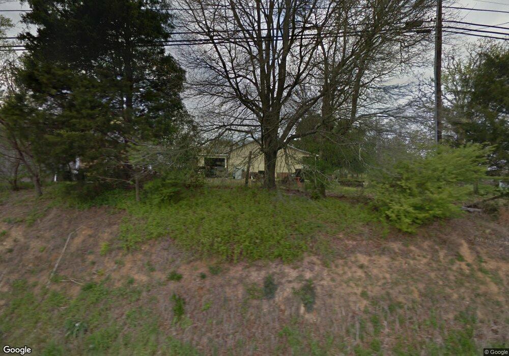
9161 Highway 73 E Mount Pleasant, NC 28124
Estimated Value: $224,000 - $307,000
2
Beds
1
Bath
1,408
Sq Ft
$196/Sq Ft
Est. Value
About This Home
This home is located at 9161 Highway 73 E, Mount Pleasant, NC 28124 and is currently estimated at $275,860, approximately $195 per square foot. 9161 Highway 73 E is a home located in Cabarrus County with nearby schools including Mount Pleasant Elementary School, Mount Pleasant Middle School, and Mount Pleasant High School.
Ownership History
Date
Name
Owned For
Owner Type
Purchase Details
Closed on
Jul 27, 2006
Sold by
Carras William Donald
Bought by
Stack Ricky Eugene
Current Estimated Value
Purchase Details
Closed on
Jul 20, 2004
Sold by
Charlotte Housing Group Llc
Bought by
Carras William Donald
Purchase Details
Closed on
May 26, 2004
Sold by
Federal National Mortgage Association
Bought by
Charlotte Housing Group
Create a Home Valuation Report for This Property
The Home Valuation Report is an in-depth analysis detailing your home's value as well as a comparison with similar homes in the area
Home Values in the Area
Average Home Value in this Area
Purchase History
| Date | Buyer | Sale Price | Title Company |
|---|---|---|---|
| Stack Ricky Eugene | $75,000 | None Available | |
| Carras William Donald | $97,500 | -- | |
| Charlotte Housing Group | -- | Lighthouse Title Agency |
Source: Public Records
Tax History
| Year | Tax Paid | Tax Assessment Tax Assessment Total Assessment is a certain percentage of the fair market value that is determined by local assessors to be the total taxable value of land and additions on the property. | Land | Improvement |
|---|---|---|---|---|
| 2025 | $1,579 | $230,170 | $60,210 | $169,960 |
| 2024 | $1,579 | $230,170 | $60,210 | $169,960 |
| 2023 | $1,103 | $128,570 | $33,270 | $95,300 |
| 2022 | $1,103 | $128,570 | $33,270 | $95,300 |
| 2021 | $1,103 | $128,570 | $33,270 | $95,300 |
| 2020 | $1,103 | $128,570 | $33,270 | $95,300 |
| 2019 | $1,072 | $124,930 | $38,020 | $86,910 |
| 2018 | $1,067 | $129,590 | $38,020 | $91,570 |
| 2017 | $1,041 | $129,590 | $38,020 | $91,570 |
| 2016 | $1,041 | $122,140 | $38,020 | $84,120 |
| 2015 | $999 | $122,140 | $38,020 | $84,120 |
| 2014 | $999 | $122,140 | $38,020 | $84,120 |
Source: Public Records
Map
Nearby Homes
- 1620 Blueberry St
- 1554 Barringer St
- 2271 Bilverlor Ct
- 8814 Oldenburg Dr
- 8851 Oldenburg Dr
- 2381 Wester Holt Ct
- 1120 N College St
- 540 S Halifax St
- 8690 Crestwood Dr
- 8024 Eagle St
- 755 Skyland Dr N
- 997 S Skyland Dr
- 130 Fritzvon Dr
- 7670 N Carolina 73
- 1151 Pine Cross Dr
- 6910 State Highway 49
- 7105 Hallmark Ln Unit Lot 28
- 6907 Glen Abby Ln
- 6907 Glen Abbey Ln Unit 9
- 6853 Glen Abby Ln
- 9675 Highway 73 E
- 1545 Crowell St
- 9734 Highway 73 E
- 1555 Crowell St
- 1525 Crowell St
- 1453 Crowell St
- 1475 Crowell St
- 1530 Crowell St
- 9125 Franklin St E
- 1465 Crowell St
- 9045 Reid St
- 9040 Reid St
- 1438 Crowell St
- 1446 Crowell St
- 1474 Crowell St Unit A&B
- 7490 Highway 73 E
- 1470 Crowell St
- 9275 Nc Hwy 73 E
- 9115 Franklin St E
- 9039 Reid St
Your Personal Tour Guide
Ask me questions while you tour the home.