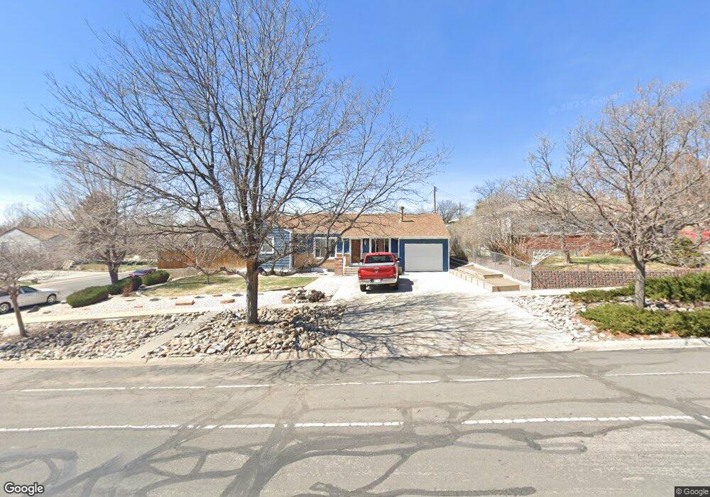
9161 Yucca Way Thornton, CO 80229
South Thornton NeighborhoodEstimated Value: $433,000 - $544,000
4
Beds
1
Bath
1,738
Sq Ft
$270/Sq Ft
Est. Value
About This Home
This home is located at 9161 Yucca Way, Thornton, CO 80229 and is currently estimated at $469,181, approximately $269 per square foot. 9161 Yucca Way is a home located in Adams County with nearby schools including Trailside Academy.
Ownership History
Date
Name
Owned For
Owner Type
Purchase Details
Closed on
Oct 12, 2004
Sold by
Yanez Abdon V
Bought by
Yanez Abdon V and Yanez Tomasa
Current Estimated Value
Purchase Details
Closed on
Dec 30, 1998
Sold by
Angel Alcaraz and Alcaraz Jennie R
Bought by
Yanez Abdon V
Home Financials for this Owner
Home Financials are based on the most recent Mortgage that was taken out on this home.
Original Mortgage
$124,374
Outstanding Balance
$28,798
Interest Rate
6.74%
Mortgage Type
FHA
Estimated Equity
$440,383
Create a Home Valuation Report for This Property
The Home Valuation Report is an in-depth analysis detailing your home's value as well as a comparison with similar homes in the area
Home Values in the Area
Average Home Value in this Area
Purchase History
| Date | Buyer | Sale Price | Title Company |
|---|---|---|---|
| Yanez Abdon V | -- | -- | |
| Yanez Abdon V | $125,900 | -- |
Source: Public Records
Mortgage History
| Date | Status | Borrower | Loan Amount |
|---|---|---|---|
| Open | Yanez Abdon V | $124,374 |
Source: Public Records
Tax History Compared to Growth
Tax History
| Year | Tax Paid | Tax Assessment Tax Assessment Total Assessment is a certain percentage of the fair market value that is determined by local assessors to be the total taxable value of land and additions on the property. | Land | Improvement |
|---|---|---|---|---|
| 2024 | $2,585 | $27,260 | $5,630 | $21,630 |
| 2023 | $2,564 | $31,190 | $6,090 | $25,100 |
| 2022 | $2,359 | $25,090 | $5,280 | $19,810 |
| 2021 | $2,359 | $25,090 | $5,280 | $19,810 |
| 2020 | $2,312 | $24,850 | $5,430 | $19,420 |
| 2019 | $2,325 | $24,850 | $5,430 | $19,420 |
| 2018 | $1,984 | $19,960 | $5,180 | $14,780 |
| 2017 | $1,944 | $19,960 | $5,180 | $14,780 |
| 2016 | $1,568 | $15,770 | $2,550 | $13,220 |
| 2015 | $1,371 | $15,770 | $2,550 | $13,220 |
| 2014 | -- | $14,360 | $1,990 | $12,370 |
Source: Public Records
Map
Nearby Homes
- 9160 Welby Rd
- 2620 Roosevelt Ave
- 9181 Aspen Dr
- 2700 Eppinger Blvd
- 9191 Beechwood Dr
- 9095 Cypress Dr
- 9230 Cook St
- 9111 Monroe St
- 3570 E 90th Place
- 9341 York St
- 9335 Garfield St
- 9211 Harris St
- 8960 Vine St
- 2984 E 97th Ave
- 3700 E 89th Ave
- 2569 Devonshire Ct Unit 69
- 2241 Oak Place
- 2684 E 97th Ave
- 2469 Devonshire Ct Unit 32
- 9316 Harrison St
- 9171 Yucca Way
- 2881 Barnhart St
- 2880 Barnhart St
- 2860 Barnhart St
- 2861 Barnhart St
- 9181 Yucca Way
- 2840 Barnhart St
- 9150 Yucca Way
- 2841 Barnhart St
- 9160 Yucca Way
- 9191 Yucca Way
- 2900 Poze Blvd
- 9120 Yucca Way
- 2881 Roosevelt Ave
- 2880 Poze Blvd
- 2851 Roosevelt Ave
- 2820 Barnhart St
- 9170 Yucca Way
- 2821 Roosevelt Ave
- 2860 Poze Blvd