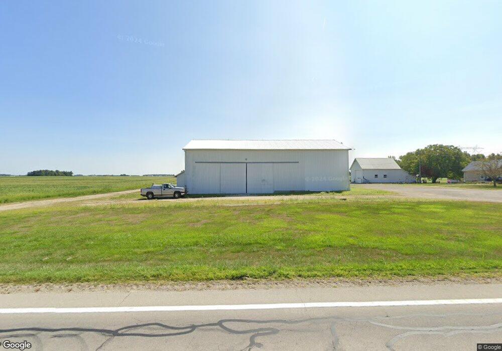
9162 Ohio 118 Rockford, OH 45882
4
Beds
1
Bath
2,550
Sq Ft
2.35
Acres
About This Home
This home is located at 9162 Ohio 118, Rockford, OH 45882. 9162 Ohio 118 is a home located in Mercer County with nearby schools including Celina Middle School and Celina High School.
Ownership History
Date
Name
Owned For
Owner Type
Purchase Details
Closed on
Jun 16, 2016
Sold by
Evers Kevin
Bought by
Fortkamp Kate A
Home Financials for this Owner
Home Financials are based on the most recent Mortgage that was taken out on this home.
Original Mortgage
$110,000
Outstanding Balance
$87,548
Interest Rate
3.57%
Mortgage Type
New Conventional
Purchase Details
Closed on
Nov 15, 2012
Sold by
Simon Alan and Simon Christine L
Bought by
Evers Kevin
Purchase Details
Closed on
Sep 20, 2005
Sold by
Simon Alan
Bought by
Simon Christine L
Create a Home Valuation Report for This Property
The Home Valuation Report is an in-depth analysis detailing your home's value as well as a comparison with similar homes in the area
Home Values in the Area
Average Home Value in this Area
Purchase History
| Date | Buyer | Sale Price | Title Company |
|---|---|---|---|
| Fortkamp Kate A | $209,880 | None Available | |
| Evers Kevin | $1,540,000 | Attorney | |
| Simon Christine L | -- | Attorney |
Source: Public Records
Mortgage History
| Date | Status | Borrower | Loan Amount |
|---|---|---|---|
| Open | Fortkamp Kate A | $110,000 |
Source: Public Records
Tax History Compared to Growth
Tax History
| Year | Tax Paid | Tax Assessment Tax Assessment Total Assessment is a certain percentage of the fair market value that is determined by local assessors to be the total taxable value of land and additions on the property. | Land | Improvement |
|---|---|---|---|---|
| 2024 | $3,073 | $320,050 | $319,240 | $810 |
| 2023 | $3,073 | $320,050 | $319,240 | $810 |
| 2022 | $2,054 | $242,700 | $242,100 | $600 |
| 2021 | $1,958 | $243,340 | $243,340 | $0 |
| 2020 | $1,984 | $243,340 | $243,340 | $0 |
| 2019 | $3,162 | $243,280 | $243,280 | $0 |
| 2018 | $3,051 | $243,280 | $243,280 | $0 |
| 2017 | $3,951 | $243,280 | $243,280 | $0 |
| 2016 | $4,863 | $261,370 | $234,520 | $26,850 |
| 2015 | $4,876 | $261,750 | $234,520 | $27,230 |
| 2014 | $4,742 | $261,820 | $234,520 | $27,300 |
| 2013 | $3,167 | $192,420 | $163,580 | $28,840 |
Source: Public Records
Map
Nearby Homes
- 9155 Us Route 127
- 0 Wilson Unit 1037059
- 0 Wilson Unit 306333
- 1218 Brittany Dr
- 1101 Timothy Ln
- 1528 Mary Ln
- 4640 Sierra Dr
- 6764 Silver Lakes Dr
- 208 W Pearl St
- 208 Market St
- 6699 Gause Rd
- 11164 Erastus Durbin Rd
- 0 Rockford West Rd Unit Lots 14- 28
- 628 Hoying St
- 0 Anderson 13&14 & Roadway 12&13 Unit 1037886
- 541 Lisle St
- 7957 W Bridge St
- 115 Touvelle St
- 627 N Sugar St
- 619 N Sugar St
- 9422 State Route 118
- 9162 State Route 118
- 9309 State Route 118
- 4239 Oregon Rd
- 9469 State Route 118
- 3797 Fetters Rd
- 9170 Hellwarth Rd
- 9170 Hellwarth Rd
- 9331 Hellwarth Rd
- 0 Fast Rd Unit 208049
- 0 Fast Rd Unit lot 1 1017248
- 0 Fast Rd Unit Lot 7 428680
- 0 Fast Rd Unit Lot 18 428675
- 0 Fast Rd Unit 20 368699
- 0 Fast Rd Unit 18 368698
- 0 Fast Rd Unit 7 368697
- 0 Fast Rd Unit 6 368545
- 0 Fast Rd Unit 5 368544
- 0 Fast Rd Unit 4 368542
- 0 Fast Rd Unit 3 368541