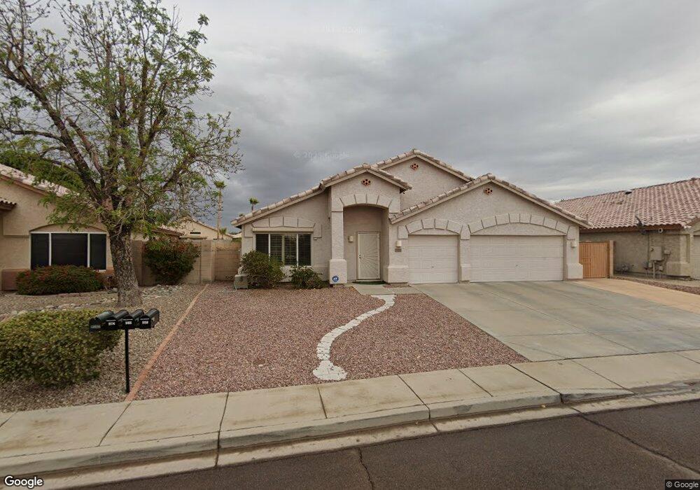
9166 W Marconi Ave Peoria, AZ 85382
Estimated Value: $489,028 - $526,000
--
Bed
3
Baths
2,105
Sq Ft
$245/Sq Ft
Est. Value
About This Home
This home is located at 9166 W Marconi Ave, Peoria, AZ 85382 and is currently estimated at $515,507, approximately $244 per square foot. 9166 W Marconi Ave is a home located in Maricopa County with nearby schools including Desert Harbor Elementary School, Centennial High School, and Sonoran Science Academy-Peoria.
Ownership History
Date
Name
Owned For
Owner Type
Purchase Details
Closed on
Mar 10, 2014
Sold by
Ainsworth Kenneth H and Ainsworth Darlene K
Bought by
Kenn & Darlene Ainsworth Family Trust
Current Estimated Value
Purchase Details
Closed on
Jan 14, 1997
Sold by
Bpc Inc
Bought by
Ainsworth Kenneth H and Ainsworth Darlene K
Home Financials for this Owner
Home Financials are based on the most recent Mortgage that was taken out on this home.
Original Mortgage
$145,554
Outstanding Balance
$15,394
Interest Rate
7.46%
Mortgage Type
VA
Estimated Equity
$500,113
Create a Home Valuation Report for This Property
The Home Valuation Report is an in-depth analysis detailing your home's value as well as a comparison with similar homes in the area
Home Values in the Area
Average Home Value in this Area
Purchase History
| Date | Buyer | Sale Price | Title Company |
|---|---|---|---|
| Kenn & Darlene Ainsworth Family Trust | -- | None Available | |
| Ainsworth Kenneth H | $142,730 | Fidelity Title |
Source: Public Records
Mortgage History
| Date | Status | Borrower | Loan Amount |
|---|---|---|---|
| Open | Ainsworth Kenneth H | $145,554 |
Source: Public Records
Tax History Compared to Growth
Tax History
| Year | Tax Paid | Tax Assessment Tax Assessment Total Assessment is a certain percentage of the fair market value that is determined by local assessors to be the total taxable value of land and additions on the property. | Land | Improvement |
|---|---|---|---|---|
| 2025 | $2,236 | $28,183 | -- | -- |
| 2024 | $2,198 | $26,841 | -- | -- |
| 2023 | $2,198 | $39,800 | $7,960 | $31,840 |
| 2022 | $2,152 | $29,950 | $5,990 | $23,960 |
| 2021 | $2,300 | $27,830 | $5,560 | $22,270 |
| 2020 | $2,323 | $26,080 | $5,210 | $20,870 |
| 2019 | $2,250 | $25,730 | $5,140 | $20,590 |
| 2018 | $2,161 | $24,360 | $4,870 | $19,490 |
| 2017 | $2,164 | $22,910 | $4,580 | $18,330 |
| 2016 | $2,140 | $22,070 | $4,410 | $17,660 |
| 2015 | $1,998 | $21,370 | $4,270 | $17,100 |
Source: Public Records
Map
Nearby Homes
- 9235 W Marconi Ave
- 16251 N 91st Dr
- 16017 N Nicklaus Ln
- 16414 N Meadow Park Dr
- 9002 W Caribbean Ln
- 8809 W Sandra Terrace
- 9151 W Greenway Rd Unit 288
- 15430 N Bowling Green Dr
- 15211 N 89th Ave
- 8653 W Paradise Ln
- 15406 N Bowling Green Dr
- 9326 W Briarwood Cir
- 16801 N Pine Valley Dr
- 15360 N 87th Ave
- 15099 N 89th Ave
- 9310 W Cedar Hill Cir N
- 16832 N Pine Valley Dr
- 8630 W Marconi Ave
- 8640 W Mauro Ln
- 9414 W Briarwood Cir
- 9158 W Marconi Ave
- 9174 W Marconi Ave
- 9212 W Marconi Ave
- 9173 W Lockland Ct
- 15920 N 91st Dr
- 15910 N 91st Dr
- 9165 W Lockland Ct
- 9181 W Lockland Ct
- 9157 W Lockland Ct
- 9165 W Marconi Ave
- 15930 N 91st Dr
- 9173 W Marconi Ave
- 9220 W Marconi Ave
- 9157 W Marconi Ave
- 9211 W Lockland Ct
- 9211 W Marconi Ave
- 15940 N 91st Dr
- 9149 W Marconi Ave
- 9219 W Lockland Ct
- 9219 W Marconi Ave