917 2nd Ave Brockway, PA 15824
Estimated Value: $61,769 - $88,000
--
Bed
--
Bath
540
Sq Ft
$147/Sq Ft
Est. Value
About This Home
This home is located at 917 2nd Ave, Brockway, PA 15824 and is currently estimated at $79,442, approximately $147 per square foot. 917 2nd Ave is a home located in Jefferson County with nearby schools including Brockway Area Elementary School, Brockway Area Junior/Senior High School, and Hillside School.
Ownership History
Date
Name
Owned For
Owner Type
Purchase Details
Closed on
Jun 7, 2016
Sold by
Armstrong Douglas Charles and Armstrong Annissa Harolynn
Bought by
Armstrong Douglas C
Current Estimated Value
Purchase Details
Closed on
Apr 30, 2012
Sold by
Bartens Sally C and Mcconnell Sally C
Bought by
Armstrong Douglas Charles and Armstrong Annissa Harolynn
Create a Home Valuation Report for This Property
The Home Valuation Report is an in-depth analysis detailing your home's value as well as a comparison with similar homes in the area
Home Values in the Area
Average Home Value in this Area
Purchase History
| Date | Buyer | Sale Price | Title Company |
|---|---|---|---|
| Armstrong Douglas C | -- | None Available | |
| Armstrong Douglas Charles | $28,946 | None Available |
Source: Public Records
Tax History Compared to Growth
Tax History
| Year | Tax Paid | Tax Assessment Tax Assessment Total Assessment is a certain percentage of the fair market value that is determined by local assessors to be the total taxable value of land and additions on the property. | Land | Improvement |
|---|---|---|---|---|
| 2025 | $892 | $18,830 | $2,100 | $16,730 |
| 2024 | $1,017 | $18,830 | $2,100 | $16,730 |
| 2023 | $873 | $18,830 | $2,100 | $16,730 |
| 2022 | $873 | $18,830 | $2,100 | $16,730 |
| 2021 | $873 | $18,830 | $2,100 | $16,730 |
| 2020 | $873 | $18,830 | $2,100 | $16,730 |
| 2019 | $842 | $18,830 | $2,100 | $16,730 |
| 2018 | $805 | $18,830 | $2,100 | $16,730 |
| 2017 | $795 | $18,830 | $2,100 | $16,730 |
| 2016 | $718 | $18,830 | $2,100 | $16,730 |
| 2015 | -- | $18,830 | $2,100 | $16,730 |
| 2012 | -- | $18,830 | $2,100 | $16,730 |
Source: Public Records
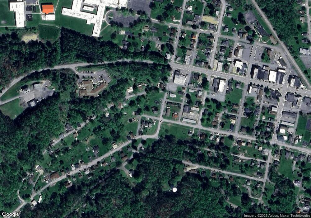
Map
Nearby Homes
- 1074 10th Ave
- 1549 Main St
- 924 Elm St
- 0 U S 219
- 19 Salandra Ln
- 970 Baghdad Rd
- 7956 U S 219
- 425 Zuccolotto Ln
- 1083 Rattlesnake Rd
- 101 Howard Rd
- 5850 U S 219
- 5546 Stevenson Hill Rd
- 0 Coal Glen Rd
- 390 Galliot Ct
- 636 Cap Haitien Rd
- 0 Cap Haitien Rd Unit SEC 17 LOT 14
- 00 Pennsylvania 830
- 1032 Beechtree Rd
- 3585 Shawmut Rd
- 13 Cap Haitien Rd
- 909 2nd Ave
- 925 2nd Ave
- 918 2nd Ave
- 188 Broad St
- 172 Broad St
- 924 2nd Ave
- 899 Allen Way
- 180 Broad St
- 225 Broad St
- 282 W Clarion Rd
- 957 2nd Ave
- 940 2nd Ave Unit 942
- 319 W Clarion Rd
- 200 Broad St
- 3587 Kearney Rd Unit 3589
- 949 Chittester Way
- 272 W Clarion Rd
- 301 W Clarion Rd
- 3581 Kearney Rd
- 981 2nd Ave