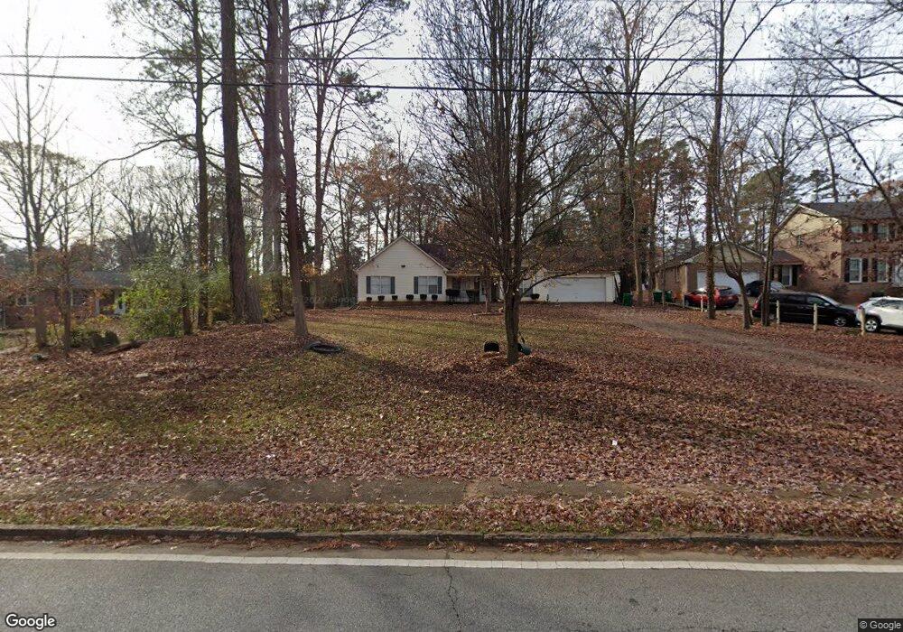
917 Allgood Rd Stone Mountain, GA 30083
Estimated Value: $165,000 - $265,000
4
Beds
2
Baths
1,558
Sq Ft
$140/Sq Ft
Est. Value
About This Home
This home is located at 917 Allgood Rd, Stone Mountain, GA 30083 and is currently estimated at $218,375, approximately $140 per square foot. 917 Allgood Rd is a home located in DeKalb County with nearby schools including Allgood Elementary School, Freedom Middle School, and Clarkston High School.
Ownership History
Date
Name
Owned For
Owner Type
Purchase Details
Closed on
Sep 2, 2025
Sold by
Walsh Glories
Bought by
Abaker Adam
Current Estimated Value
Purchase Details
Closed on
Jun 3, 1997
Sold by
Goss Barry
Bought by
Walsh Glories
Purchase Details
Closed on
May 29, 1997
Sold by
Leyland Geraldine G
Bought by
Goss Barry
Purchase Details
Closed on
Jul 15, 1994
Sold by
Thompson Andre Jackee
Bought by
Leyland Geraldein G
Create a Home Valuation Report for This Property
The Home Valuation Report is an in-depth analysis detailing your home's value as well as a comparison with similar homes in the area
Home Values in the Area
Average Home Value in this Area
Purchase History
| Date | Buyer | Sale Price | Title Company |
|---|---|---|---|
| Abaker Adam | $176,000 | -- | |
| Walsh Glories | $124,000 | -- | |
| Goss Barry | $14,800 | -- | |
| Leyland Geraldein G | $16,000 | -- |
Source: Public Records
Tax History
| Year | Tax Paid | Tax Assessment Tax Assessment Total Assessment is a certain percentage of the fair market value that is determined by local assessors to be the total taxable value of land and additions on the property. | Land | Improvement |
|---|---|---|---|---|
| 2025 | $543 | $106,320 | $14,400 | $91,920 |
| 2024 | $543 | $92,480 | $14,400 | $78,080 |
| 2023 | $543 | $91,880 | $10,800 | $81,080 |
| 2022 | $437 | $80,680 | $10,800 | $69,880 |
| 2021 | $437 | $57,320 | $10,800 | $46,520 |
| 2020 | $437 | $53,640 | $10,800 | $42,840 |
| 2019 | $433 | $47,600 | $10,800 | $36,800 |
| 2018 | $436 | $30,080 | $2,720 | $27,360 |
| 2017 | $443 | $27,400 | $2,720 | $24,680 |
| 2016 | $435 | $26,200 | $2,720 | $23,480 |
| 2014 | $426 | $21,360 | $2,680 | $18,680 |
Source: Public Records
Map
Nearby Homes
- 4228 Kings Troop Rd
- 1051 Rowland Rd
- 714 Wetherborn Place
- 4428 Nantucket Cove
- 1010 Allgood Rd
- 1159 Rowland Rd
- 804 Rowland Rd
- 737 Allgood Valley Ct
- 4094 Carlisle Place
- 4383 Lake Breeze Dr
- 4447 Lake Breeze Dr
- 4051 Seven Hills Ct
- 1113 S Indian Creek Dr
- 4408 Redan Rd
- 4100 Indian Manor Dr
- 905 S Indian Creek Dr
- 1093 S Indian Creek Dr
- 4654 Hope Springs Rd
- 4157 Autumn Hill Dr
- 4406 Carriage Trail
- 921 Allgood Rd
- 911 Allgood Rd
- 901 Allgood Rd
- 929 Allgood Rd Unit 4
- 929 Allgood Rd
- 4220 Kings Troop Rd
- 4236 Kings Troop Rd
- 895 Allgood Rd
- 914 Allgood Rd
- 924 Allgood Rd
- 902 Allgood Rd
- 727 John Alden Rd
- 4244 Kings Troop Rd
- 1039 Rowland Rd
- 951 Allgood Rd
- 4227 Kings Troop Rd
- 952 Allgood Rd
- 894 Allgood Rd
- 827 Carlisle Rd
- 735 John Alden Rd
Your Personal Tour Guide
Ask me questions while you tour the home.