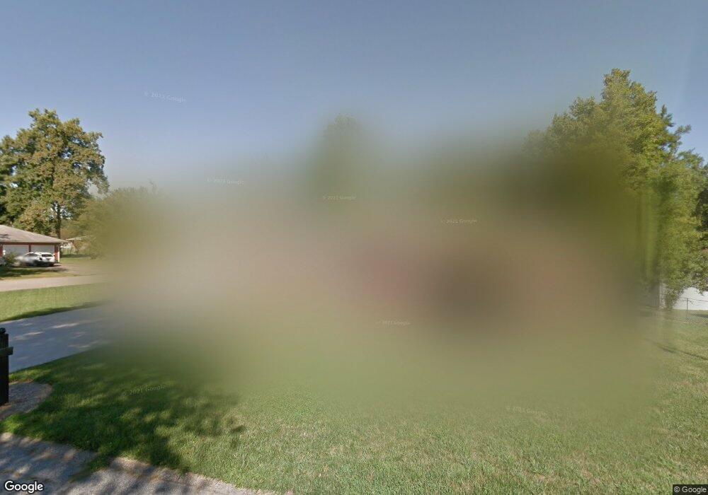
917 Brookwood Dr New Albany, IN 47150
Estimated Value: $231,000 - $271,000
3
Beds
2
Baths
1,268
Sq Ft
$198/Sq Ft
Est. Value
About This Home
This home is located at 917 Brookwood Dr, New Albany, IN 47150 and is currently estimated at $251,035, approximately $197 per square foot. 917 Brookwood Dr is a home located in Floyd County with nearby schools including Hazelwood Middle School, New Albany Senior High School, and Community Montessori.
Ownership History
Date
Name
Owned For
Owner Type
Purchase Details
Closed on
Oct 31, 2013
Sold by
Rasmussen Lindsay J and Rasmussen Jesse
Bought by
Rasmussen Lindsay J and Rasmussen Jesse
Current Estimated Value
Purchase Details
Closed on
Aug 3, 2011
Sold by
Jackson Earl R and Jackson Jean M
Bought by
Koetter Lindsey J
Home Financials for this Owner
Home Financials are based on the most recent Mortgage that was taken out on this home.
Original Mortgage
$114,483
Outstanding Balance
$79,008
Interest Rate
4.5%
Mortgage Type
FHA
Estimated Equity
$172,027
Create a Home Valuation Report for This Property
The Home Valuation Report is an in-depth analysis detailing your home's value as well as a comparison with similar homes in the area
Home Values in the Area
Average Home Value in this Area
Purchase History
| Date | Buyer | Sale Price | Title Company |
|---|---|---|---|
| Rasmussen Lindsay J | -- | Kentuckiana Title | |
| Koetter Lindsey J | -- | Kentuckiana Title Agency |
Source: Public Records
Mortgage History
| Date | Status | Borrower | Loan Amount |
|---|---|---|---|
| Open | Koetter Lindsey J | $114,483 |
Source: Public Records
Tax History Compared to Growth
Tax History
| Year | Tax Paid | Tax Assessment Tax Assessment Total Assessment is a certain percentage of the fair market value that is determined by local assessors to be the total taxable value of land and additions on the property. | Land | Improvement |
|---|---|---|---|---|
| 2024 | $2,347 | $221,300 | $25,300 | $196,000 |
| 2023 | $1,906 | $177,100 | $25,300 | $151,800 |
| 2022 | $1,726 | $164,000 | $25,300 | $138,700 |
| 2021 | $1,537 | $145,500 | $25,300 | $120,200 |
| 2020 | $1,540 | $145,600 | $25,300 | $120,300 |
| 2019 | $1,703 | $160,300 | $25,300 | $135,000 |
| 2018 | $1,420 | $135,800 | $25,300 | $110,500 |
| 2017 | $1,441 | $135,400 | $25,300 | $110,100 |
| 2016 | $1,179 | $125,200 | $25,300 | $99,900 |
| 2014 | $1,316 | $129,800 | $25,200 | $104,600 |
| 2013 | -- | $134,200 | $25,300 | $108,900 |
Source: Public Records
Map
Nearby Homes
- 1709 Millerwood Dr
- 3105 Murr Ln
- 1749 McDonald Ln
- 917 Brentwood Ct
- 303 Colonial Club Dr
- 213 Colonial Club Dr
- 1672 Garretson Ln
- 8 Robin Ct
- 30 Doebrook Ct
- 2550 Broadway St
- 2548 Broadway St
- 710 Victoria Ct
- 3903 Rainbow Dr
- 1130 Eastridge Dr
- 1352 Miller Ln
- 6369 Indiana 111
- 823 Elmwood Ave
- 3207 Blackiston Blvd
- 1655 Harriett Ct
- 1652 Hedden Park
- 3304 Hazelwood Dr
- 919 Brookwood Dr
- 3303 Deerwood Dr
- 916 Brookwood Dr
- 913 Brookwood Dr
- 3306 Hazelwood Dr
- 918 Brookwood Dr
- 3303 Hazelwood Dr
- 914 Brookwood Dr
- 3305 Deerwood Dr
- 920 Brookwood Dr
- 3305 Hazelwood Dr
- 3308 Hazelwood Dr
- 909 Brookwood Dr
- 1782 Lynnwood Dr
- 3304 Deerwood Dr
- 3304 Ridgewood Dr
- 910 Brookwood Dr
- 3307 Deerwood Dr
- 3307 Hazelwood Dr