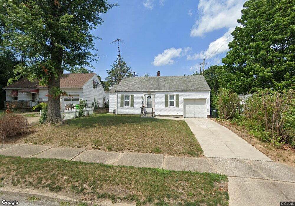
917 Cornell Dr Alliance, OH 44601
Estimated Value: $112,835 - $157,000
3
Beds
1
Bath
1,205
Sq Ft
$116/Sq Ft
Est. Value
About This Home
This home is located at 917 Cornell Dr, Alliance, OH 44601 and is currently estimated at $140,209, approximately $116 per square foot. 917 Cornell Dr is a home located in Stark County with nearby schools including Alliance Early Learning School, Alliance Intermediate School at Northside, and Alliance Middle School.
Ownership History
Date
Name
Owned For
Owner Type
Purchase Details
Closed on
Jan 2, 2025
Sold by
Lawson Carl and Lawson Shanna
Bought by
Claw Properties Llc
Current Estimated Value
Purchase Details
Closed on
Aug 28, 2019
Sold by
Pennybaker Mildred F
Bought by
Lawson Carl and Lawson Shanna
Create a Home Valuation Report for This Property
The Home Valuation Report is an in-depth analysis detailing your home's value as well as a comparison with similar homes in the area
Home Values in the Area
Average Home Value in this Area
Purchase History
| Date | Buyer | Sale Price | Title Company |
|---|---|---|---|
| Claw Properties Llc | -- | None Listed On Document | |
| Lawson Carl | $31,500 | None Available |
Source: Public Records
Tax History
| Year | Tax Paid | Tax Assessment Tax Assessment Total Assessment is a certain percentage of the fair market value that is determined by local assessors to be the total taxable value of land and additions on the property. | Land | Improvement |
|---|---|---|---|---|
| 2025 | -- | $27,690 | $8,190 | $19,500 |
| 2024 | -- | $27,690 | $8,190 | $19,500 |
| 2023 | $1,019 | $24,750 | $7,210 | $17,540 |
| 2022 | $1,025 | $24,750 | $7,210 | $17,540 |
| 2021 | $1,028 | $24,750 | $7,210 | $17,540 |
| 2020 | $931 | $20,940 | $6,270 | $14,670 |
| 2019 | $451 | $20,940 | $6,270 | $14,670 |
Source: Public Records
Map
Nearby Homes
- 1539 Parkway Blvd
- 720 Vincent Blvd
- 864 W College Rd
- 1016 Roseland Rd
- 1156 Parkside Dr
- 1534 Fernwood Blvd
- 1718 Fernwood Blvd
- 1310 Overlook Dr
- 1044 Glamorgan St
- 1114 Briarcliff Ave
- 0 Federal Ave
- 1601 Raywood Rd
- 2120 Blenheim Ave
- 203 Glamorgan St
- 664 Fairview Place
- 535 S Mckinley Ave
- 1235 Spring Ridge Cir Unit 17A
- 621 S Haines Ave
- 807 S Union Ave
- 2580 Edgewood Ave
- 927 Cornell Dr
- 1465 Parkway Blvd
- 1467 Parkway Blvd
- 1453 Parkway Blvd
- 941 Cornell Dr
- 928 Glenwood Dr
- 938 Glenwood Dr
- 1445 Parkway Blvd
- 1481 Parkway Blvd
- 951 Cornell Dr
- 918 Cornell Dr
- 954 Glenwood Dr
- 938 Cornell Dr
- 1489 Parkway Blvd
- 965 Cornell Dr
- 948 Cornell Dr
- 1429 Parkway Blvd
- 1495 Parkway Blvd
- 968 Glenwood Dr
- 975 Cornell Dr
Your Personal Tour Guide
Ask me questions while you tour the home.