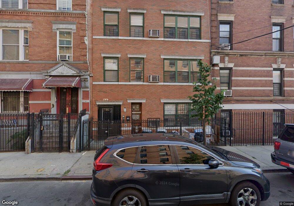
917 E 178th St Bronx, NY 10460
West Farms NeighborhoodEstimated Value: $851,000 - $989,143
Studio
--
Bath
3,069
Sq Ft
$299/Sq Ft
Est. Value
About This Home
This home is located at 917 E 178th St, Bronx, NY 10460 and is currently estimated at $918,786, approximately $299 per square foot. 917 E 178th St is a home located in Bronx County with nearby schools including P.S. 67 - Mohegan School, P.S. 214, and I.S. X318 Math, Science & Technology Through Arts.
Ownership History
Date
Name
Owned For
Owner Type
Purchase Details
Closed on
Dec 18, 2021
Sold by
Alberca Lucia and Taboada David
Bought by
Paredes Alejandra
Current Estimated Value
Purchase Details
Closed on
Aug 27, 2009
Sold by
Sbm Home Builders Llc
Bought by
Alberca Lucia and Taboada David
Home Financials for this Owner
Home Financials are based on the most recent Mortgage that was taken out on this home.
Original Mortgage
$260,000
Interest Rate
5.12%
Mortgage Type
Purchase Money Mortgage
Create a Home Valuation Report for This Property
The Home Valuation Report is an in-depth analysis detailing your home's value as well as a comparison with similar homes in the area
Home Values in the Area
Average Home Value in this Area
Purchase History
| Date | Buyer | Sale Price | Title Company |
|---|---|---|---|
| Paredes Alejandra | -- | -- | |
| Alberca Lucia | $425,000 | -- |
Source: Public Records
Mortgage History
| Date | Status | Borrower | Loan Amount |
|---|---|---|---|
| Previous Owner | Alberca Lucia | $260,000 |
Source: Public Records
Tax History
| Year | Tax Paid | Tax Assessment Tax Assessment Total Assessment is a certain percentage of the fair market value that is determined by local assessors to be the total taxable value of land and additions on the property. | Land | Improvement |
|---|---|---|---|---|
| 2025 | $7,266 | $38,346 | $6,782 | $31,564 |
| 2024 | $7,266 | $36,175 | $6,463 | $29,712 |
| 2023 | $6,356 | $34,128 | $5,797 | $28,331 |
| 2022 | $5,726 | $47,160 | $9,540 | $37,620 |
| 2021 | $5,455 | $43,860 | $9,540 | $34,320 |
| 2020 | $4,647 | $43,860 | $9,540 | $34,320 |
| 2019 | $3,964 | $37,080 | $9,540 | $27,540 |
| 2018 | $3,417 | $28,440 | $8,973 | $19,467 |
| 2017 | $3,049 | $28,920 | $8,973 | $19,947 |
| 2016 | $2,630 | $29,880 | $8,973 | $20,907 |
| 2015 | $749 | $29,580 | $8,673 | $20,907 |
| 2014 | $749 | $29,574 | $8,667 | $20,907 |
Source: Public Records
Map
Nearby Homes
- 969 E 179th St
- 1989 Southern Blvd
- 2120 Daly Ave
- 2116 Honeywell Ave Unit 10
- 2116 Honeywell Ave Unit 1
- 946 E 181st St
- 960 E 181st St
- 1549 & 1547(Garage) Beach Ave
- 877 Hornaday Place
- 1898 Longfellow Ave Unit E3
- 2120 Mapes Ave Unit 1A
- 1819 Waterloo Place
- 1928 Prospect Ave
- 2139 Mapes Ave
- 805 E 182nd St Unit 4E
- 1780 Marmion Ave
- 2120 Clinton Ave
- 1129 E Tremont Ave
- 1973 Crotona Ave
- 372 Bronx Park Ave
- 915 E 178th St
- 915 E 178th St Unit 2
- 1997 Daly Ave
- 2001 Daly Ave
- 911 E 178th St
- 2003 Daly Ave
- 909 E 178th St
- 2005 Daly Ave
- 2007 Daly Ave
- 2012 Honeywell Ave
- 2012 Honeywell Ave Unit 2
- 2012 Honeywell Ave Unit 2nd floor
- 2021 Daly Ave
- 2006 Honeywell Ave
- 905 E 178th St
- 905 E 178th St Unit 3
- 2008 Honeywell Ave
- 2014 Honeywell Ave
- 2023 Daly Ave
- 2016 Honeywell Ave
Your Personal Tour Guide
Ask me questions while you tour the home.