Estimated Value: $158,780 - $177,000
2
Beds
1
Bath
1,283
Sq Ft
$130/Sq Ft
Est. Value
About This Home
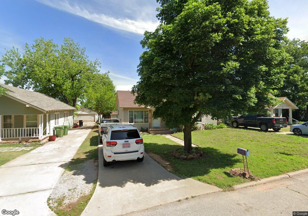
This home is located at 917 Elm Ave, Yukon, OK 73099 and is currently estimated at $166,695, approximately $129 per square foot. 917 Elm Ave is a home located in Canadian County with nearby schools including Central Elementary School, Independence Elementary School, and Yukon Middle School.
Ownership History
Date
Name
Owned For
Owner Type
Purchase Details
Closed on
Aug 12, 2025
Sold by
Rubes-Adams Sidney and Adams Edward J
Bought by
Edward J Adams And Sidney L Rubes-Adams Famil
Current Estimated Value
Purchase Details
Closed on
Feb 20, 2018
Sold by
Hernandez Felix and Hernandez Rhonda Renee
Bought by
The Felix Edward Hernandez Ii And Rhonda
Purchase Details
Closed on
Feb 9, 2018
Sold by
Stepps Ronnie and Stepps Terry
Bought by
Hernandez Felix
Purchase Details
Closed on
Aug 1, 2012
Sold by
Rubes Donald James
Bought by
Stepps Ronnie
Create a Home Valuation Report for This Property
The Home Valuation Report is an in-depth analysis detailing your home's value as well as a comparison with similar homes in the area
Home Values in the Area
Average Home Value in this Area
Purchase History
| Date | Buyer | Sale Price | Title Company |
|---|---|---|---|
| Edward J Adams And Sidney L Rubes-Adams Famil | -- | None Listed On Document | |
| The Felix Edward Hernandez Ii And Rhonda | -- | None Available | |
| Hernandez Felix | $68,500 | Old Republic Title | |
| Stepps Ronnie | $17,000 | Multiple |
Source: Public Records
Tax History Compared to Growth
Tax History
| Year | Tax Paid | Tax Assessment Tax Assessment Total Assessment is a certain percentage of the fair market value that is determined by local assessors to be the total taxable value of land and additions on the property. | Land | Improvement |
|---|---|---|---|---|
| 2024 | $1,115 | $10,803 | $1,759 | $9,044 |
| 2023 | $1,115 | $10,288 | $1,588 | $8,700 |
| 2022 | $1,066 | $9,798 | $1,386 | $8,412 |
| 2021 | $1,058 | $9,695 | $1,386 | $8,309 |
| 2020 | $1,046 | $9,695 | $1,386 | $8,309 |
| 2019 | $1,060 | $9,798 | $1,386 | $8,412 |
| 2018 | $472 | $4,350 | $1,386 | $2,964 |
| 2017 | $450 | $4,143 | $1,386 | $2,757 |
| 2016 | $428 | $4,143 | $1,386 | $2,757 |
| 2015 | -- | $2,008 | $1,386 | $622 |
| 2014 | -- | $2,008 | $1,386 | $622 |
Source: Public Records
Map
Nearby Homes
- 1004 Cedar Ave
- 1016 Maple Ave
- 1101 W Main St
- 417 Garth Brooks Blvd
- 600 S 8th St
- 11325 SW 34th Terrace
- 601 S 8th St
- 2117 Aminas Way
- 9116 Anaum Ln
- 705 Yukon Ave
- 624 Frisco Ridge Rd
- 2001 Aminas Way
- 11033 NW 20th Terrace
- 210 N 4th St
- 621 Yukon Ave
- 4601 Grassland Dr
- 11817 Corie Nicole Ln
- 502 Walnut Ave
- 3608 Northover Ridge Dr
- 3509 Sawtooth Ridge Dr