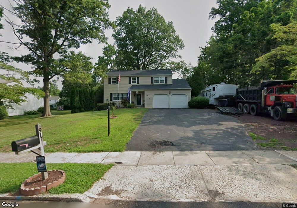
917 Flintlock Dr Lansdale, PA 19446
Estimated Value: $521,507 - $610,000
4
Beds
3
Baths
1,870
Sq Ft
$304/Sq Ft
Est. Value
About This Home
This home is located at 917 Flintlock Dr, Lansdale, PA 19446 and is currently estimated at $568,127, approximately $303 per square foot. 917 Flintlock Dr is a home located in Montgomery County with nearby schools including Gwynedd Square Elementary School, Penndale Middle School, and North Penn Senior High School.
Ownership History
Date
Name
Owned For
Owner Type
Purchase Details
Closed on
Dec 26, 2008
Sold by
Schmitz Belle and Brenneman Belle
Bought by
Brennneman Belle
Current Estimated Value
Purchase Details
Closed on
Jun 16, 2006
Sold by
Schmitz Peter A and Schmitz Belle
Bought by
Schmitz Belle
Home Financials for this Owner
Home Financials are based on the most recent Mortgage that was taken out on this home.
Original Mortgage
$115,000
Interest Rate
6.67%
Create a Home Valuation Report for This Property
The Home Valuation Report is an in-depth analysis detailing your home's value as well as a comparison with similar homes in the area
Home Values in the Area
Average Home Value in this Area
Purchase History
| Date | Buyer | Sale Price | Title Company |
|---|---|---|---|
| Brennneman Belle | -- | None Available | |
| Schmitz Belle | -- | None Available |
Source: Public Records
Mortgage History
| Date | Status | Borrower | Loan Amount |
|---|---|---|---|
| Closed | Schmitz Belle | $115,000 |
Source: Public Records
Tax History Compared to Growth
Tax History
| Year | Tax Paid | Tax Assessment Tax Assessment Total Assessment is a certain percentage of the fair market value that is determined by local assessors to be the total taxable value of land and additions on the property. | Land | Improvement |
|---|---|---|---|---|
| 2025 | $5,311 | $144,800 | $57,380 | $87,420 |
| 2024 | $5,311 | $144,800 | $57,380 | $87,420 |
| 2023 | $5,064 | $144,800 | $57,380 | $87,420 |
| 2022 | $4,883 | $144,800 | $57,380 | $87,420 |
| 2021 | $4,755 | $144,800 | $57,380 | $87,420 |
| 2020 | $4,632 | $144,800 | $57,380 | $87,420 |
| 2019 | $4,547 | $144,800 | $57,380 | $87,420 |
| 2018 | $4,547 | $144,800 | $57,380 | $87,420 |
| 2017 | $4,355 | $144,800 | $57,380 | $87,420 |
| 2016 | $4,300 | $144,800 | $57,380 | $87,420 |
| 2015 | $4,104 | $144,800 | $57,380 | $87,420 |
| 2014 | $4,104 | $144,800 | $57,380 | $87,420 |
Source: Public Records
Map
Nearby Homes
- 1716 Supplee Rd
- 980 Jacks Ln
- 1019 Anders Rd
- 2015 Creek Way
- 2806 Morris Rd
- 210 Berwick Place Unit 20E
- 3053 Sunny Ayre Dr
- 128 Wellington Terrace
- 134 Oberlin Terrace Unit 15-H
- 144 Oberlin Terrace Unit 15-B
- 1653 Bridle Path Dr
- 825 Morris Rd
- 1825 Flintlock Cir
- 108 Hickory Ct
- 1622 Samantha Ct
- 4 Anglesey
- 2203 Weber Rd
- 2144 Schultz Rd
- 984 Independence Ln Unit 13
- 846 Fulton Ave
- 921 Flintlock Dr
- 913 Flintlock Dr
- 922 Patriot Dr
- 910 Patriot Dr
- 925 Flintlock Dr
- 926 Patriot Dr
- 916 Flintlock Dr
- 920 Flintlock Dr
- 912 Flintlock Dr
- 930 Patriot Dr
- 929 Flintlock Dr
- 901 Patriot Dr
- 905 Patriot Dr
- 934 Patriot Dr
- 908 Flintlock Dr
- 913 Patriot Dr
- 909 Patriot Dr
- 933 Flintlock Dr
- 925 Patriot Dr
- 921 Patriot Dr