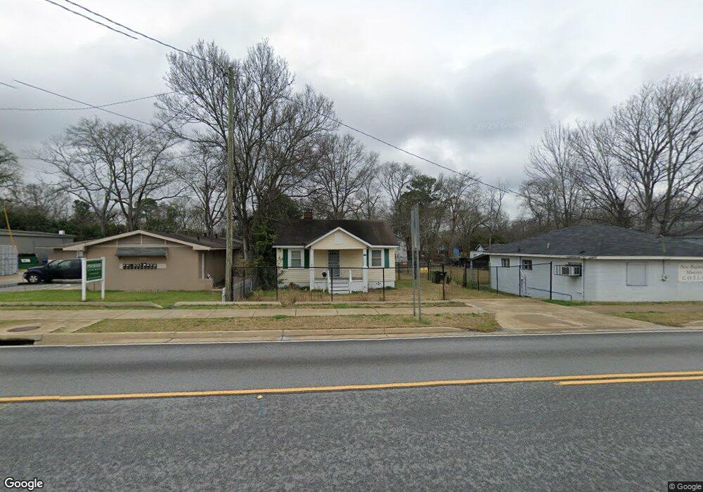
917 Fort Benning Rd Columbus, GA 31903
Estimated Value: $31,000 - $62,000
1
Bed
1
Bath
672
Sq Ft
$73/Sq Ft
Est. Value
About This Home
This home is located at 917 Fort Benning Rd, Columbus, GA 31903 and is currently estimated at $49,281, approximately $73 per square foot. 917 Fort Benning Rd is a home located in Muscogee County with nearby schools including Dorothy Height Elementary School, Baker Middle School, and Spencer High School.
Ownership History
Date
Name
Owned For
Owner Type
Purchase Details
Closed on
Mar 3, 2020
Sold by
Bayview Loan Servicing Llc
Bought by
Elam Lequeysha Quana
Current Estimated Value
Purchase Details
Closed on
Oct 1, 2019
Sold by
Johnson Charlie
Bought by
Bayview Loan Servicing Llc
Purchase Details
Closed on
Jan 18, 2008
Sold by
Johnson Charlie and Johnson Joann
Bought by
Johnson Charlie
Create a Home Valuation Report for This Property
The Home Valuation Report is an in-depth analysis detailing your home's value as well as a comparison with similar homes in the area
Home Values in the Area
Average Home Value in this Area
Purchase History
| Date | Buyer | Sale Price | Title Company |
|---|---|---|---|
| Elam Lequeysha Quana | $13,000 | -- | |
| Bayview Loan Servicing Llc | $10,200 | -- | |
| Johnson Charlie | -- | None Available | |
| Johnson Charlie | -- | None Available |
Source: Public Records
Tax History Compared to Growth
Tax History
| Year | Tax Paid | Tax Assessment Tax Assessment Total Assessment is a certain percentage of the fair market value that is determined by local assessors to be the total taxable value of land and additions on the property. | Land | Improvement |
|---|---|---|---|---|
| 2025 | $447 | $11,424 | $4,096 | $7,328 |
| 2024 | $447 | $11,424 | $4,096 | $7,328 |
| 2023 | $450 | $11,424 | $4,096 | $7,328 |
| 2022 | $358 | $8,772 | $4,096 | $4,676 |
| 2021 | $212 | $5,200 | $1,720 | $3,480 |
| 2020 | $500 | $12,232 | $4,096 | $8,136 |
| 2019 | $501 | $12,232 | $4,096 | $8,136 |
| 2018 | $4 | $12,232 | $4,096 | $8,136 |
| 2017 | $5 | $12,232 | $4,096 | $8,136 |
| 2016 | $6 | $8,917 | $2,025 | $6,892 |
| 2015 | $7 | $8,917 | $2,025 | $6,892 |
| 2014 | $7 | $8,917 | $2,025 | $6,892 |
| 2013 | $8 | $8,917 | $2,025 | $6,892 |
Source: Public Records
Map
Nearby Homes
- 1025 Fletcher Ave
- 917 Fletcher Ave
- 812 Benning Dr
- 906 Winston Rd
- 716 Benning Dr
- 824 Winston Rd
- 750 Winston Rd
- 903 Winston Rd
- 920 Brooks Rd
- 3135 Baker Cir
- 1029 Harbison Dr
- 3111 Baker Cir
- 1401 Clark Ave
- 3223 Lee St
- 1474 Brewer Ave
- 2916 Lee St
- 184 30th Ave
- 1274 Providence Ln
- 2459 Brownie Ln
- 2463 Brownie Ln
- 925 Fort Benning Rd
- 914 Sheridan Ave
- 916 Sheridan Ave
- 912 Sheridan Ave
- 918 Sheridan Ave
- 933 Fort Benning Rd
- 920 Sheridan Ave
- 902 Sheridan Ave
- 932 Sheridan Ave
- 817 Fort Benning Rd
- 1004 Sheridan Ave
- 818 Sheridan Ave
- 1008 Sheridan Ave
- 929 Sheridan Ave
- 905 Sheridan Ave
- 917 Sheridan Ave
- 913 Sheridan Ave
- 806 Sheridan Ave
- 923 Sheridan Ave
- 3626 Wade St